
Download
3D Flyover
Add to list
More
10.3 km
~2 hrs 36 min
333 m
Out and Back
“A wind-brushed climb through fragrant fynbos unfolds into big peninsula vistas and a satisfyingly rugged mountain feel.”
This medium-grade hike packs a lot into roughly 10 km / 6.2 miles, with about 300 m / 985 ft of climbing, and it suits walkers who want a half-day mountain outing with wide-open views, fynbos-covered slopes, and a steady but manageable ascent. The route is associated with the Silvermine section of Table Mountain National Park on the Cape Peninsula, where the terrain is typically a mix of jeep track, rocky footpath, sandstone outcrops, and exposed ridgeline walking. Expect a route that feels more mountainous than the numbers suggest, especially if the wind is up or the ground is loose in places. The nearest well-known access point is the Silvermine West / Gate 1 area off Ou Kaapse Weg (M64), near Noordhoek, Cape Town, which is the most useful landmark for planning arrival. (sanparks.org)
The opening section is usually the gentlest part of the day, giving hikers a chance to settle into the climb before the route begins gaining height more consistently. Around Silvermine, lower slopes often carry classic Peninsula Sandstone Fynbos, one of the Cape’s signature vegetation types, with proteas, ericas, restios, and seasonal wildflowers depending on recent rain and the time of year. Even on a relatively short outing, the landscape can change quickly from sheltered vegetation to more open, rocky ground with broader views toward Noordhoek, Hout Bay, False Bay, and the higher ridges of the southern peninsula. This is a good hike for people who enjoy scenery throughout rather than saving all the reward for the summit. (en.wikipedia.org)
What the climb feels like
With 300 m / 985 ft of ascent spread over about 10 km / 6.2 miles, the effort is moderate rather than extreme, but the route still deserves respect. The climb is likely to come in a few distinct phases rather than one continuous grind: easier approach walking, a more sustained uphill push, then higher traversing or ridge walking where footing can become uneven. On Cape Peninsula trails, weather often has a bigger effect on difficulty than distance alone. Strong wind, low cloud, wet rock, or summer heat can all make a medium hike feel significantly harder. Because of that, this route is best approached with proper trail shoes, layers for sudden temperature changes, and enough water for an exposed outing. SANParks notes Silvermine as a hiking area within Table Mountain National Park, and the reserve’s western side is also known for mountain routes and elevated viewpoints. (sanparks.org)
Navigation should be treated seriously, especially if paths split across old tracks, fire roads, or side trails. Use HiiKER before setting out to confirm the exact line of the route, junctions, and turnaround points. In clear weather, the broader terrain can feel readable, but mist can move in quickly on these mountains and flatten the landscape visually, making even obvious ridges less intuitive.
Landmarks, views, and terrain
One of the defining features of hiking in Silvermine is the sense of elevation above both coasts of the peninsula. As the route gains height, expect increasingly expansive views over the surrounding mountains and suburbs, with the possibility of seeing toward Noordhoek, Hout Bay, and across to False Bay depending on the exact line and conditions. The western side of Silvermine is associated with higher ground including Noordhoek Peak, and the broader reserve includes the well-known Silvermine Dam area lower down. Even if this specific route does not circle the reservoir itself, that landmark helps orient the landscape and gives context to the mountain system you are walking through. (capebirdclub.org.za)
Underfoot, expect a combination of compacted track, embedded stone, and sections of rougher sandstone. After rain, some surfaces can be slick; in dry weather, loose gravel can make descents feel less secure than the climb. Trekking poles are optional but can help on the way down, particularly for hikers who prefer extra stability on uneven ground. Because the route is not especially long, many walkers underestimate the exposure. There may be little shade for long stretches, so sun protection matters year-round.
Nature and wildlife
Silvermine sits within one of the world’s most distinctive floral regions. The reserve covers a large area of mostly mountain fynbos, and birdlife is one of the highlights for observant hikers. The Cape Bird Club describes the reserve as more than 2,000 hectares of mainly mountain fynbos with a wide elevation range and many rocky outcrops and peaks, which helps explain the variety of habitats along a relatively compact route. Depending
Comments and Reviews
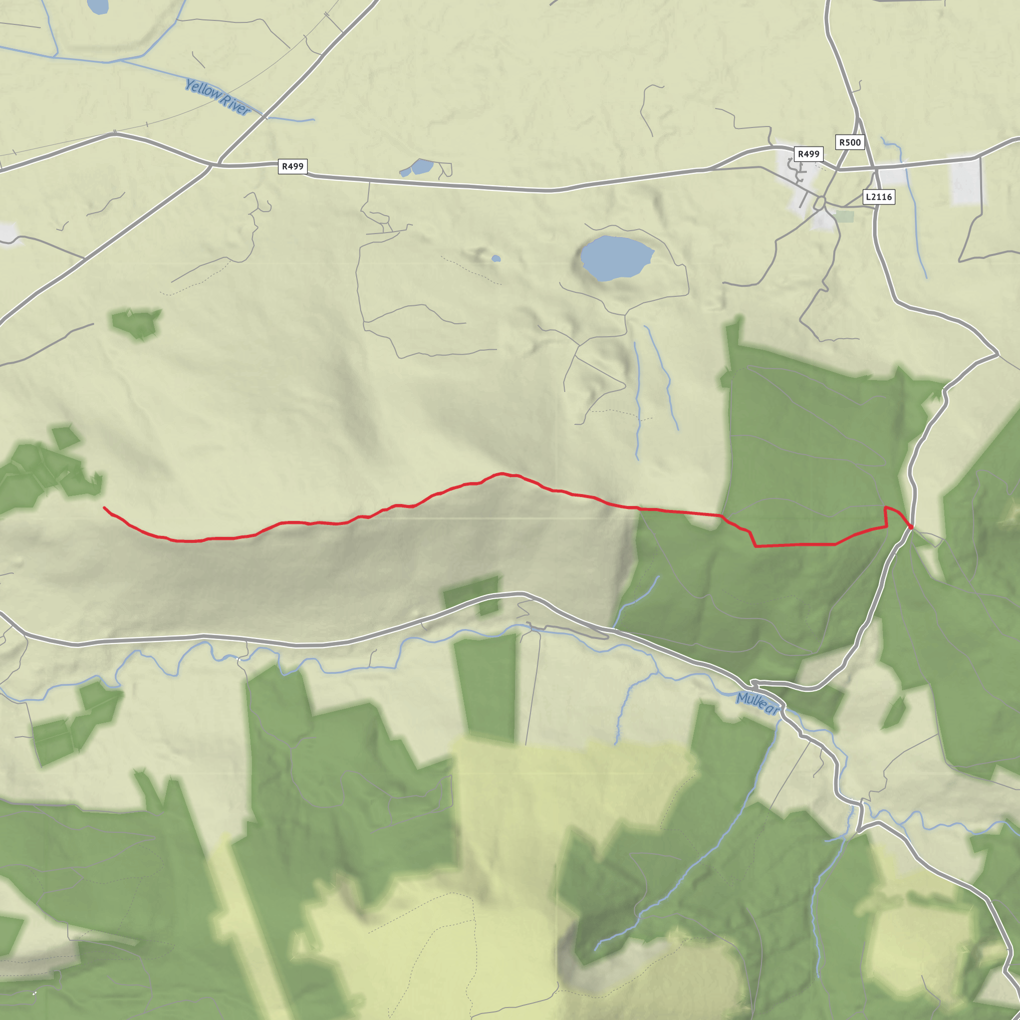
User comments, reviews and discussions about the Silvermine Mountains West Top, Ireland.
average rating out of 5
0 rating(s)
