Search a hike or location
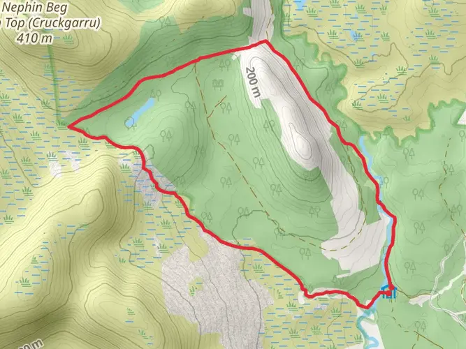
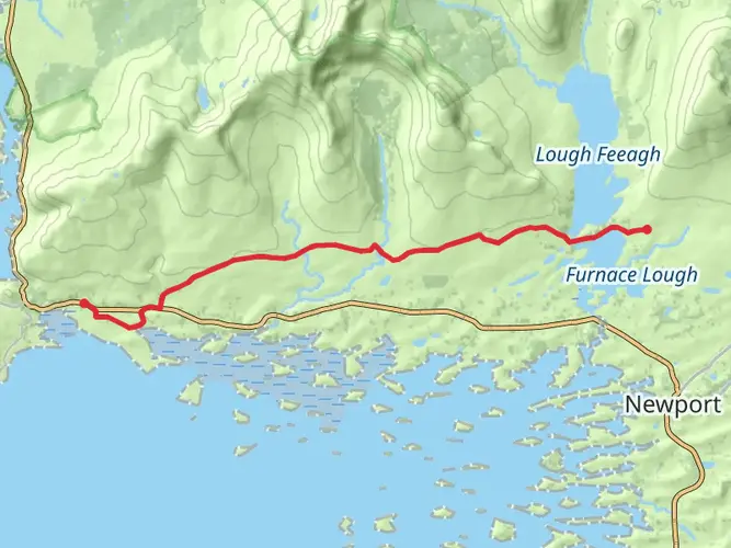
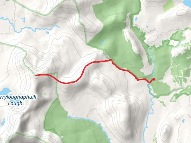
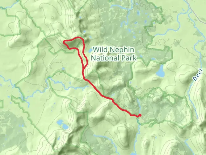
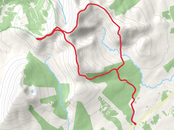
County Mayo, Ireland
Download
3D Flyover
Add to list
Complete
More
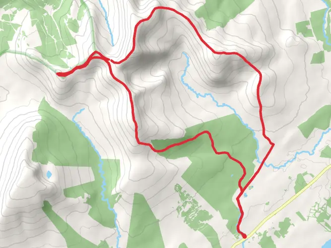
13.7 km
~3 hrs 25 min
412 m
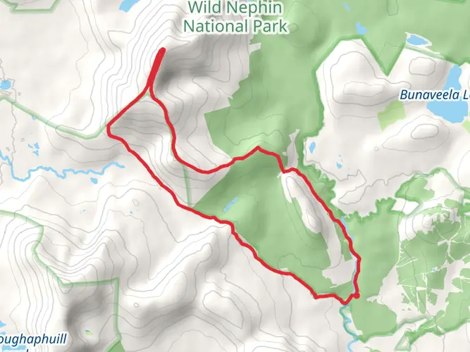
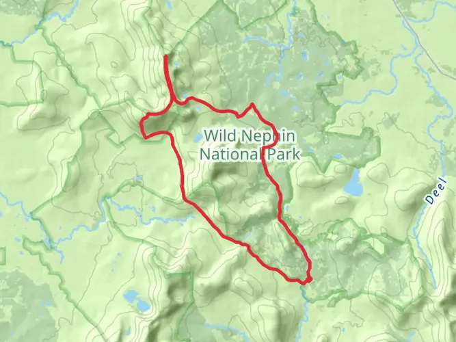
Loop
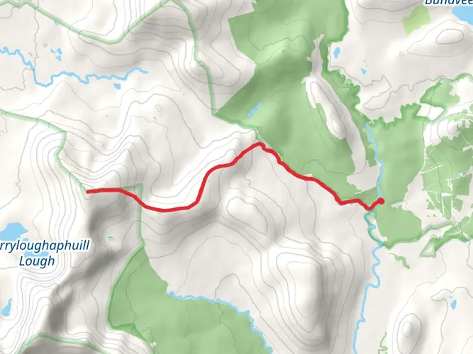
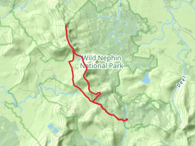
Mainly forestry road with a long section with timber sleepers. Hill section is wet underfoot , hiking boots needed.
What to expect?
User comments, reviews and discussions about the jamsies well, Ireland.
star
average rating out of 5
0 rating(s)
Nearby Hikes
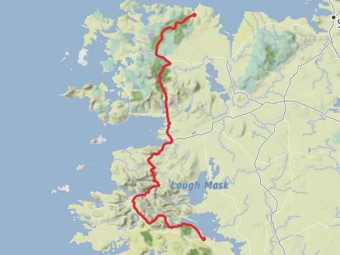
Western Way
County Galway, Ireland
180.8 km · 2558 m
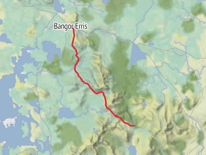
Bangor Trail
24.8 km · 631 m
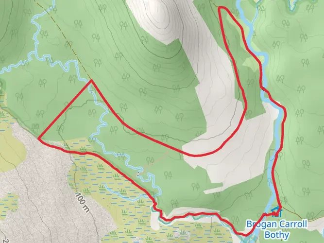
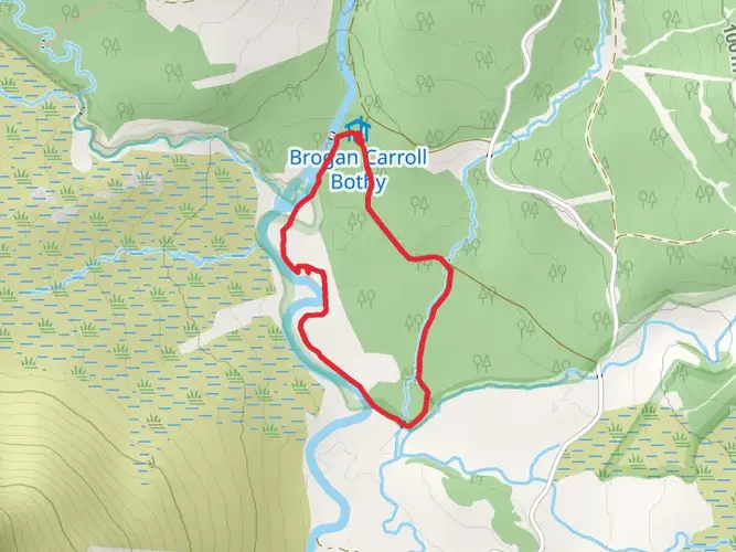
Bothy Loop
6.5 km · 110 m
Letterkeen Loop
10.0 km · 329 m
Lough Aroher Loop
9.2 km · 205 m
Western Way Mayo - Achill Spur to Mulranny
16.5 km · 172 m
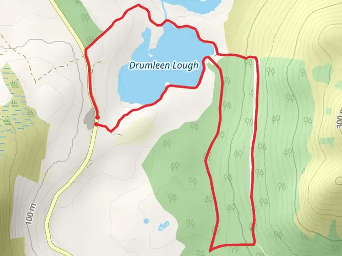
Drumleen Trail
5.3 km · 93 m
Glennamong Mountain Walk via Letterkeen walk
13.8 km · 652 m
Corslieve and Tawnyanruddia Loop
23.1 km · 860 m
Mount Eagle and Birreencorragh Mountain Walk
22.1 km · 1015 m
Birreencorragh Loop Walk from Glenhest
22.5 km · 1017 m
Knockaffertagh Mountain Walk
14.9 km · 789 m
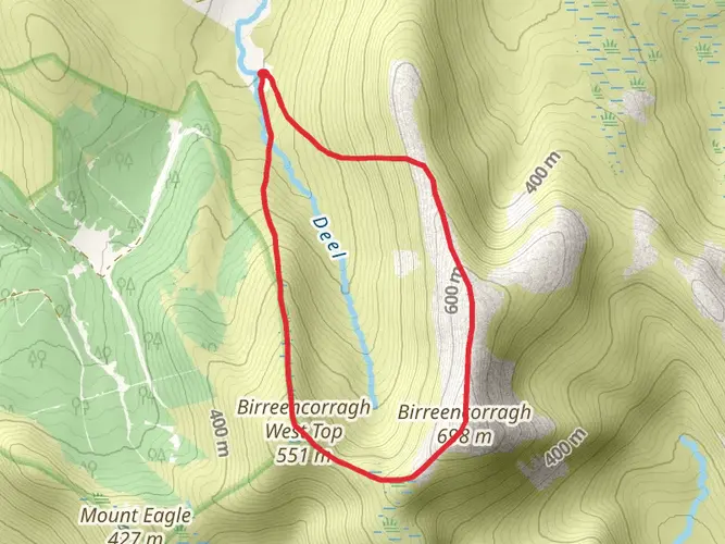
Birreencorragh Loop from The North
6.5 km · 501 m
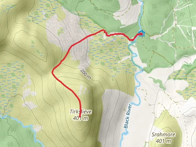
Mount Tirkslieve via Letterkeen Trail
8.0 km · 368 m
Glennamong Mountain via Letterkeen Trail
14.1 km · 665 m
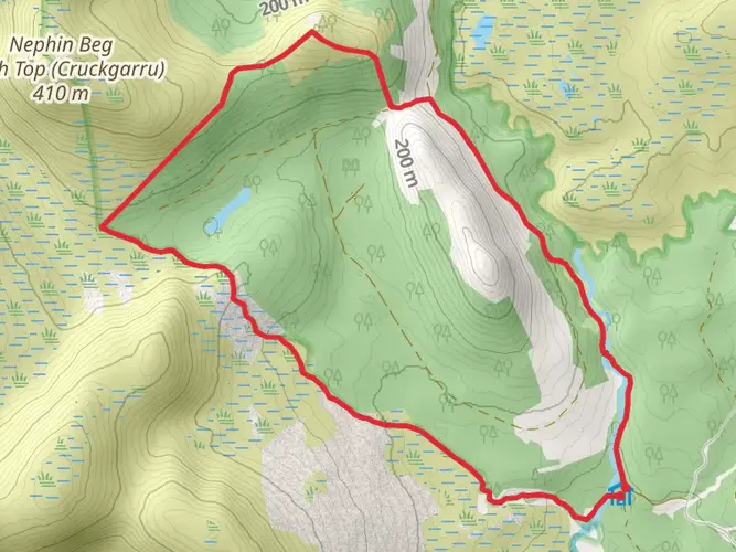
Nephin Loop via Letterkeen Trail
16.6 km · 747 m
Slieve Carr Mountain via Letterkeen Trail
28.7 km · 999 m
Nephin Beg and Slieve Carr via Letterkeen Trail
26.6 km · 1304 m
Tristia Loop
5.9 km · 93 m
Vary's Loop
2.5 km · 12 m
Continue in App
Continue in Browser
Choose which optional cookies and similar technologies HiiKER can use on this device. Privacy & cookie policy
Sign-in, security, checkout, support chat when you open it, and remembering these choices.
Google Analytics and PostHog (our own EU-hosted analytics) — which pages are visited and how features are used, so we can improve HiiKER.
Google Ads, Meta, Reddit and X pixels and Rewardful referral tracking — they tell those platforms when someone arrives from, or buys after, one of our ads or referrals. Turning this off opts you out of the "sale" or "sharing" of your personal information for targeted advertising.