Download
3D Flyover
Add to list
More
18.4 km
~4 hrs 38 min
578 m
Out and Back
“From pine-shadowed tracks to purple heather heights, this Wicklow traverse feels wild, varied, and changeable.”
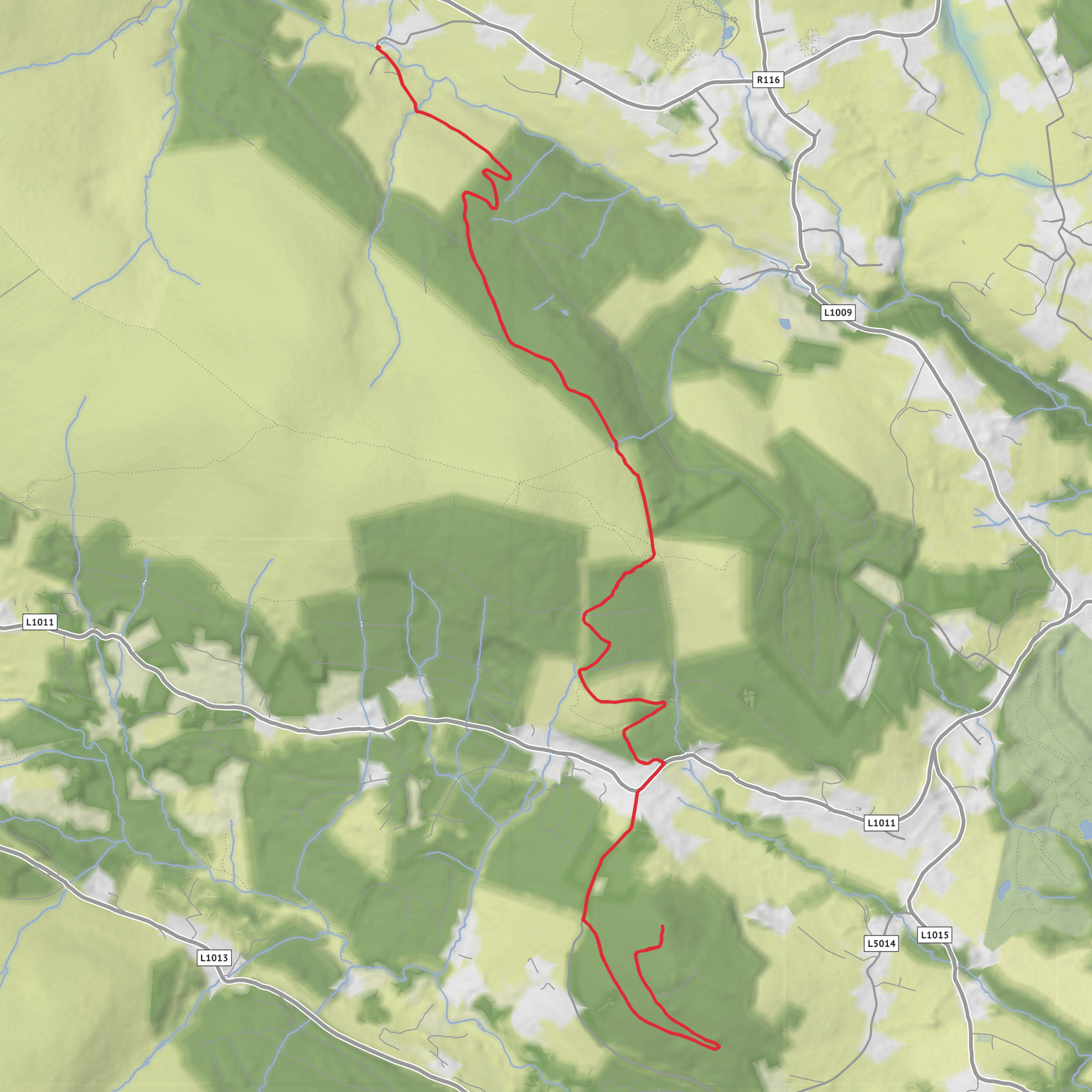
This roughly 18 km / 11.2 mile outing with about 600 m / 1,970 ft of ascent is a medium-grade mountain walk in the northern Wicklow Mountains, linking the broad shoulder of Prince William’s Seat with the Knockree area on the Wicklow Way. Expect a varied day rather than a single sustained climb: forest tracks, open hillside, heathery moorland, short steeper pulls, and a few rougher mountain sections where the ground can be wet, peaty, or slippery after rain. The nearest practical start point for most walkers is Curtlestown Woods car park, near Curtlestown, Enniskerry, County Wicklow, about 5 km / 3.1 miles from Enniskerry on the road toward Glencree. HiiKER’s Prince William’s Seat route information identifies Curtlestown Woods as the usual parking point for this area. (blog.hiiker.app)
The route sits in a landscape where Dublin’s uplands begin to merge into the Wicklow Mountains proper, so the day has a real sense of transition: conifer forest gives way to open mountain, and the views widen quickly once you break above the trees. Although the distance is moderate, the combination of ascent, exposure, and mixed surfaces means it suits walkers who are comfortable being out for several hours and who are prepared for fast-changing weather. Even on a clear day, mist can drift across the higher ground and reduce visibility, so route-finding should be planned in advance using HiiKER. (blog.hiiker.app)
Getting to the start
By car, the simplest approach is to drive to Curtlestown Woods car park near Enniskerry, which is the commonly used access point for Prince William’s Seat. Parking can fill on fine weekends, so an early start is wise. (blog.hiiker.app)
By public transport, there is no especially seamless mountain-door connection for this exact start, so most walkers will travel first toward the Dublin/Enniskerry side and then complete the final approach by local connection or taxi. Transport for Ireland provides journey-planning and real-time tools through the TFI Journey Planner and TFI Live app, which are the best way to check current bus and rail options on the day. If you are building a car-free plan, it is sensible to route yourself toward Enniskerry, County Wicklow, then arrange the last few kilometres to Curtlestown. (transportforireland.ie)
What the walk feels like
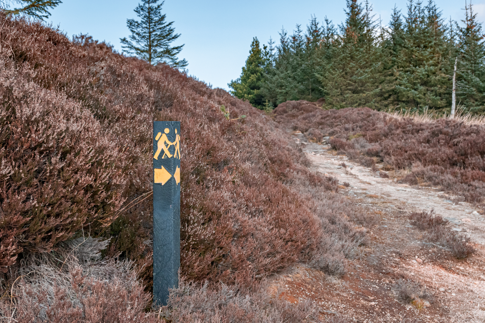
The opening section is usually on a broad forest track climbing steadily through tall pines and commercial forestry. This early ascent is rarely technical, but it can feel like a leg-stretcher straight away, especially if the surface is loose or damp. As height is gained, the trees begin to thin and the route opens onto hillside with gorse, bracken, and heather. In late summer, the heather can add strong purple colour across the slopes, while spring often brings bright yellow gorse in flower. (blog.hiiker.app)
One of the first notable features is Carrigaspinkeen, a rocky outcrop visible from the track, followed by the option of a short detour to Raven’s Rock, a granite viewpoint. That side trip is only around 350 m / 0.2 miles each way, but it is one of the better vantage points in the area, with views toward Knockree Hill, Glencree, Maulin, the Tonduffs, and Djouce. (blog.hiiker.app)
From there, the character becomes more upland. The path narrows, the shelter decreases, and the route begins to feel more like a mountain walk than a forest ramble. Prince William’s Seat rises to about 555 m / 1,821 ft, and the surrounding ground can be uneven underfoot, with patches of peat and rock. On a dry day this is straightforward walking; in wet or windy conditions it can feel much more serious than the “medium” rating suggests. (hiiker.app)
Landmarks, views, and terrain changes
Prince William’s Seat is the headline summit and the main panoramic reward. From the top and upper slopes, the outlook can stretch across both County Dublin and County Wicklow, with the Great Sugar Loaf often standing out clearly and, in good visibility, the Irish coast and Dublin Bay also coming into view. This is one of those hills where the scenery feels bigger than the elevation figure suggests. (blog.hiiker.app)
If your version of the route continues on toward Knockree, the walk becomes more of a traverse through the Glencree side of the hills. The descent and re-ascent pattern can be deceptively tiring here: nothing may look enormous on paper, but the repeated changes in level add up over an 18 km / 11.2 mile day. Knockree itself is lower than Prince
Surfaces
Gravel
Unknown
Asphalt
Dirt
Comments and Reviews
User comments, reviews and discussions about the Prince William's Seat and Knockree, Ireland.
average rating out of 5
0 rating(s)
