Download
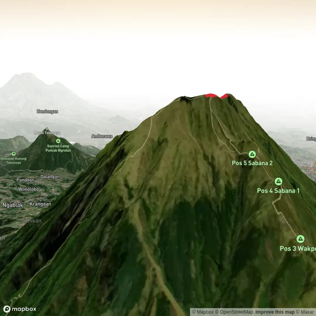
3D Flyover
Add to list
More
Trail length
13.1 km
Time
~5 hrs 13 min
Elevation Gain
1556 m
Hike Type
Out and Back
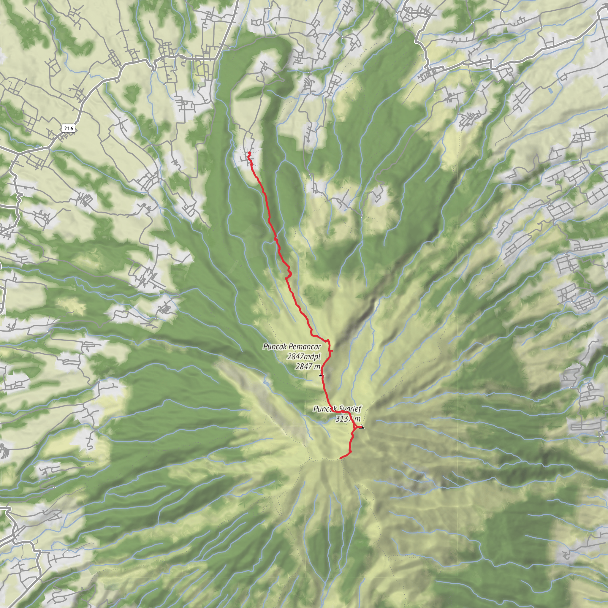
Challenging 6.74 km route from Kecamatan Getasan into the highlands south of the village. With about 1,586 m of steep elevation gain and very little descent, this extra difficult hike climbs hard almost the entire way, reaching cooler slopes with wide valley and farm views. Expect a sustained ascent on rough, possibly slippery terrain; suitable only for very fit, experienced hikers with proper gear and plenty of water.
Created by
afr
What to expect?
mountain-views
Surfaces
Unpaved
Unknown
Comments and Reviews
User comments, reviews and discussions about the Merbabu via Thekelan, Indonesia.
5.0
average rating out of 5
1 rating(s)
