Download
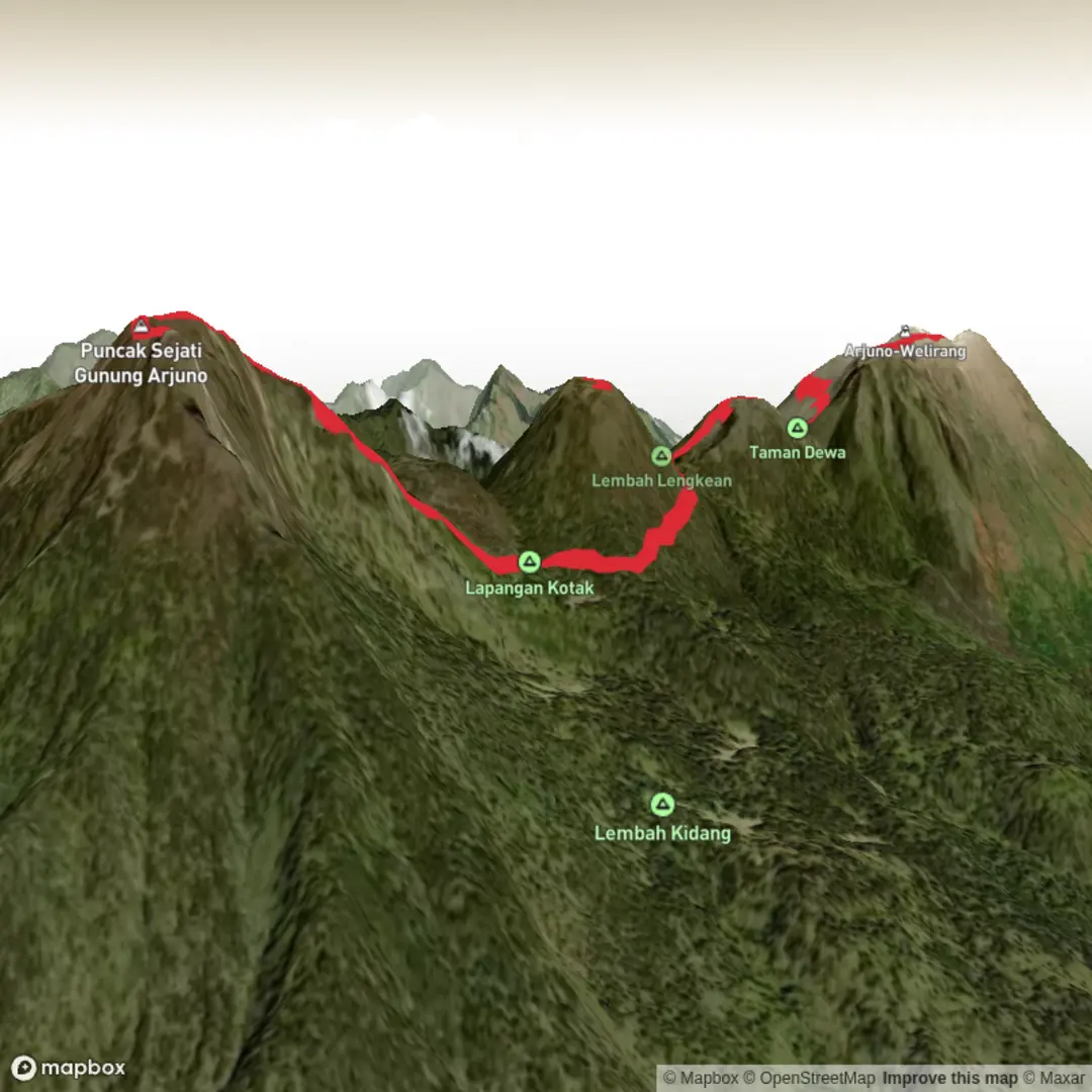
3D Flyover
Add to list
More
Trail length
20.8 km
Time
~4 hrs 10 min
Elevation Gain
0 m
Hike Type
Out and Back
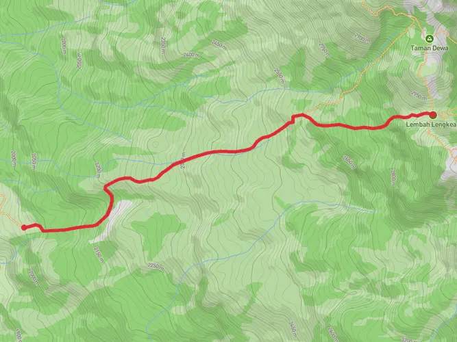
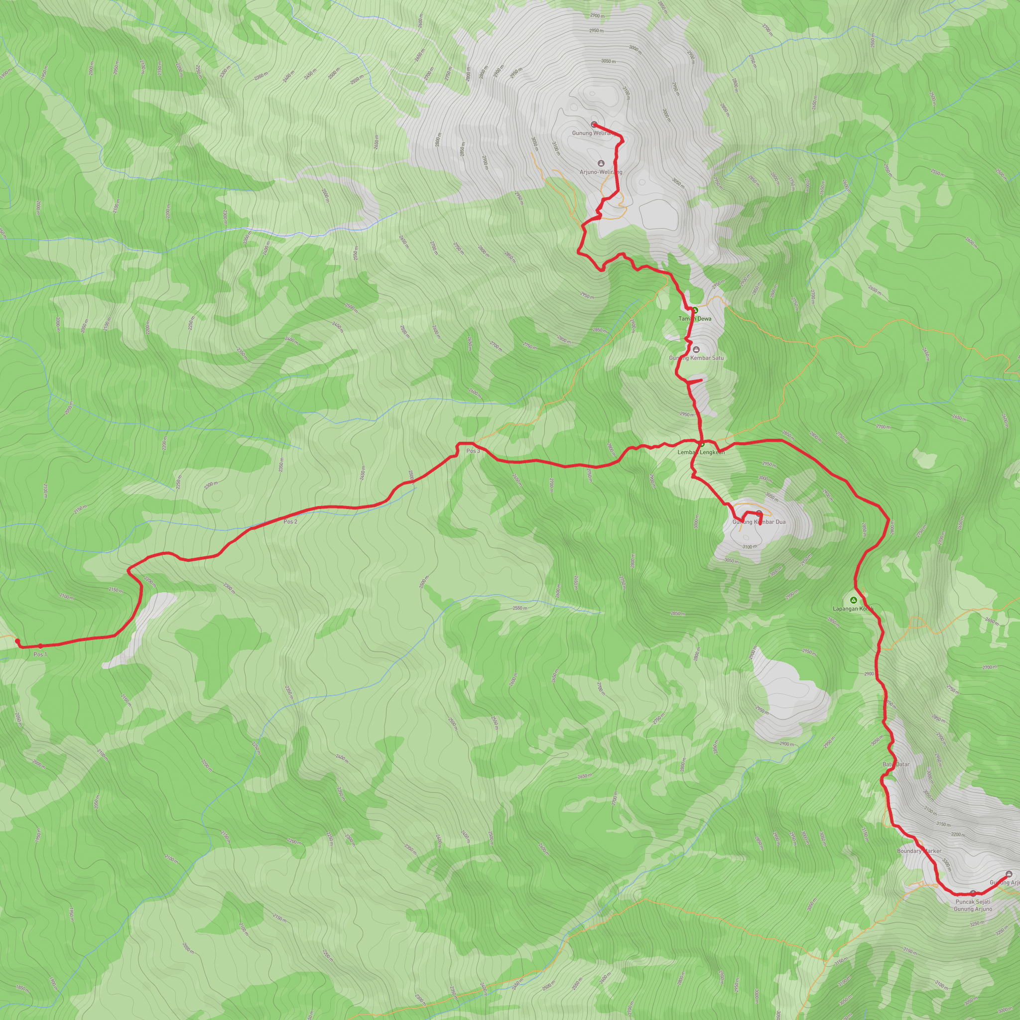
This custom route is an extremely challenging day hike of about 13 miles with over 7,200 feet of elevation gain and 7,600 feet of loss. Starting and ending near the same point in East Java, it likely follows steep volcanic terrain with sustained climbs and descents. Expect rough, uneven paths, long, demanding ascents, and dramatic views over ridges and valleys. Suitable only for very fit, experienced hikers with proper gear and plenty of water.
Created by
Elhaqiem31
Activity types
hiking
Comments and Reviews
User comments, reviews and discussions about the Gunung Arjuno, Gunung Welirang and Gunung Kembar Dua, Indonesia.
average rating out of 5
0 rating(s)