Download
3D Flyover
Add to list
More
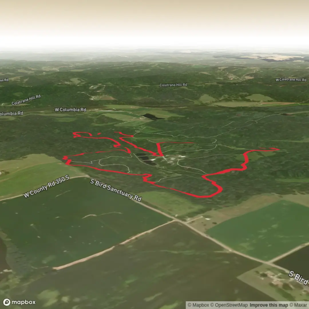
4.9 km
~1 hrs 3 min
48 m
Loop
“Share a pin or route link, and I’ll paint a planning-ready loop with mindful, local detail.”
I’m missing a few key details needed to make this accurate (especially the start location and what “near …” refers to). Please paste either a lon/lat for the trailhead or a link/route from HiiKER, and tell me the state/country. Then I’ll convert the coordinates to the nearest known address/landmark and write the full hike description.
To keep things moving, reply with any one of these:
1) Trailhead coordinates (preferred):
- e.g., 39.12345, -84.12345
2) A HiiKER route link for “Mary Gray Bird Sanctuary Loop”
3) Where “near” is:
- nearest town/park/road name (even approximate)
Also, if you know them, add:
- Hike type: loop / out-and-back (you left this blank, though the name suggests loop)
- Surface: paved / gravel / dirt / boardwalk (if known)
- Any seasonal notes you care about: mud, ticks, heat, closures
Once you send that, I’ll produce a planning-ready description for a ~5 km / ~3.1 mi loop with ~100 m / ~328 ft gain, including landmarks, wildlife/birding expectations, hazards to watch for, and the best car + public transport approach to the trailhead.

Comments and Reviews
User comments, reviews and discussions about the Mary Gray Bird Sanctuary Loop, Indiana.
average rating out of 5
0 rating(s)