
Download
3D Flyover
Add to list
More
55.4 km
5 days
3657 m
Multi Day
“From lush oak woods to haunting glacial heights, this Himalayan journey is as demanding as it is dazzling.”
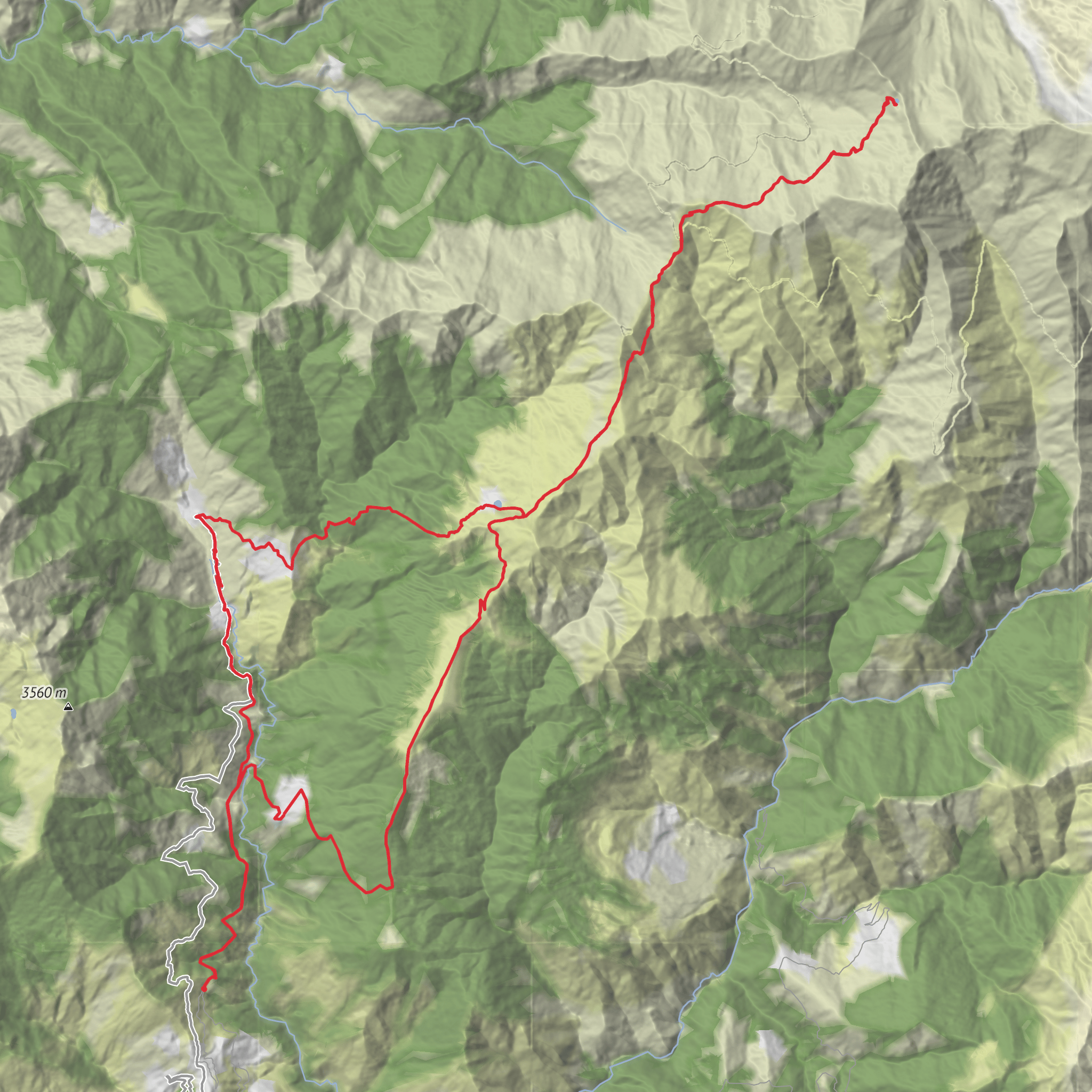
This is a long, high-altitude Himalayan route that climbs through oak and rhododendron forest, traditional Garhwali villages, vast alpine meadows, and finally into a stark glacial basin below Trishul, ending at one of India’s most famous mountain lakes. Expect roughly 55 km / 34 miles overall with about 3,700 m / 12,140 ft of ascent, depending on the exact start point, camps, and whether the approach begins at Lohajung or the roadhead near Wan. The nearest well-known trailhead area is Lohajung, Chamoli district, Uttarakhand, with many itineraries also using Wan Village, Chamoli, Uttarakhand as the last road-access point before the higher meadows. (uttarakhandtourism.gov.in)
The route is generally considered difficult not because of technical climbing, but because it combines sustained elevation gain, long trekking days, exposure to cold and wind, and a very high finishing altitude at Roopkund Lake, around 5,029 m / 16,499 ft. Above Bedni Bugyal the terrain becomes more serious: the trail steepens, vegetation thins out, weather changes quickly, and altitude effects become much more likely. Even strong hikers should plan conservatively and allow time for acclimatization. (euttaranchal.com)
Most itineraries begin by driving to Lohajung, a small mountain settlement on the road network of Chamoli district. From there, trekkers either start on foot immediately or continue by road to Wan Village, which lies about 12–15 km / 7.5–9.3 miles farther and is widely used as the final roadhead for the Bedni side of the route. If you are arriving by public transport, the usual approach is to first reach Rishikesh or Haridwar, then continue by shared jeep or bus in stages toward Karnaprayag, Gwaldam, and Lohajung; onward transport to Wan is typically by local vehicle or hired jeep. By car, the standard mountain approach is via Rishikesh – Rudraprayag – Karnaprayag – Gwaldam – Lohajung – Wan. (euttaranchal.com)
What the route feels like
From the lower villages, the trail usually starts with a descent toward the Neel Ganga valley before climbing through mixed forest toward Didna Village, a traditional settlement often used as an early halt. This section can feel deceptively demanding because the day includes both loss and regain of elevation, and the path may be humid, muddy, or slippery in wet conditions. Distances here are commonly around 8–10 km / 5–6 miles, with several hundred metres of climbing depending on the exact start. (exploredehradun.in)
Beyond Didna, the route rises toward Ali Bugyal and then Bedni Bugyal, among the best-known alpine meadows in Uttarakhand. This is one of the most visually rewarding parts of the trek: the forest opens into rolling grasslands, broad ridgelines, and huge mountain views toward Trishul, Nanda Ghunti, and, in clear weather, other Garhwal peaks. The climb from Didna to the meadows is often around 9–10 km / 5.5–6 miles, with a substantial ascent that takes many hikers most of the day. (uttarakhandtourism.gov.in)
At Bedni Bugyal, one of the key landmarks is Bedni Kund, a small sacred tarn beside a shrine. This is not just a scenic stop but an important cultural point on the route, and many hikers consider it the emotional center of the lower trek. The meadow itself is broad and open, so expect strong sun in clear weather and biting wind once cloud moves in. Camps or halts in this zone are often cold at night even outside peak winter. (uttarakhandtourism.gov.in)
Higher mountain section
Above Bedni, the landscape changes quickly. The route typically continues through areas such as Patar Nachauni and Bhagwabasa, where the green meadows give way to rockier, more barren high-altitude terrain. Distances between these camps are not huge on paper, but the effort rises sharply because of thinner air, steeper gradients, and rougher footing. Snow patches, frozen ground, or loose scree may be present depending on season and recent weather. (uttarakhandtourism.gov.in)
AI Planner
Days planned around your pace, with somewhere to stay each night.
Surfaces
Unknown
Gravel
Comments and Reviews
User comments, reviews and discussions about the Roopkund Lake via Bedni Kund, India.
average rating out of 5
0 rating(s)



