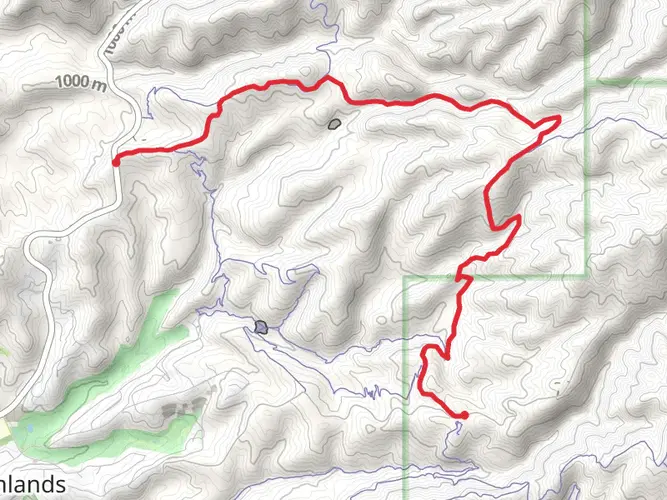
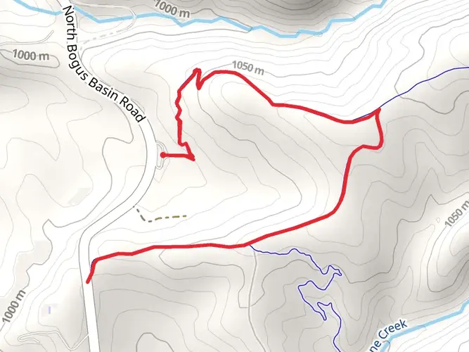
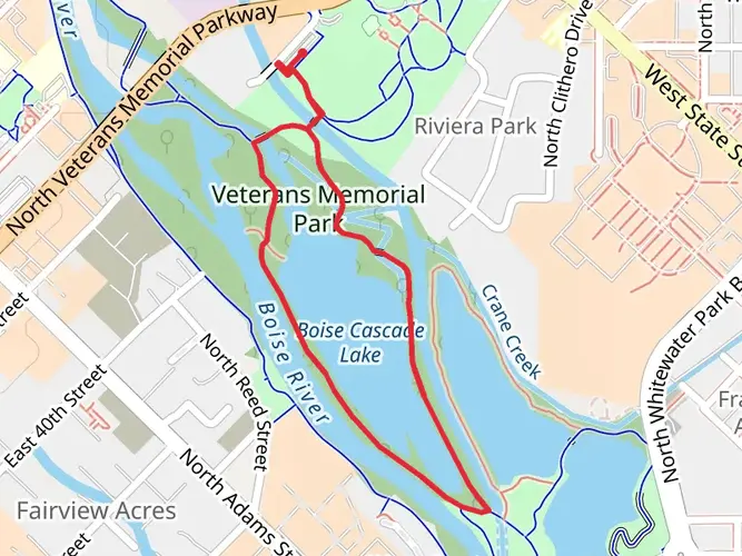
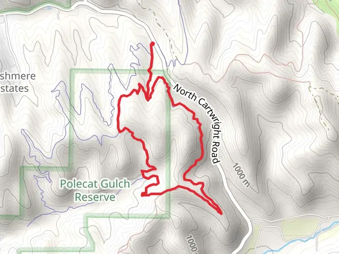
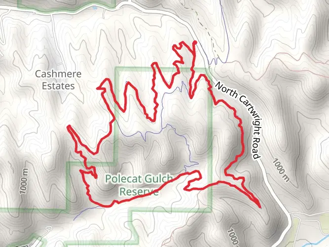
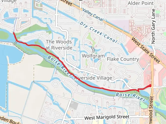
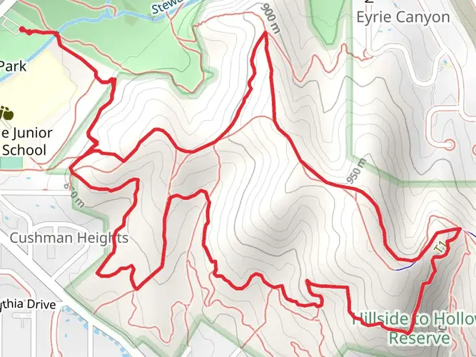
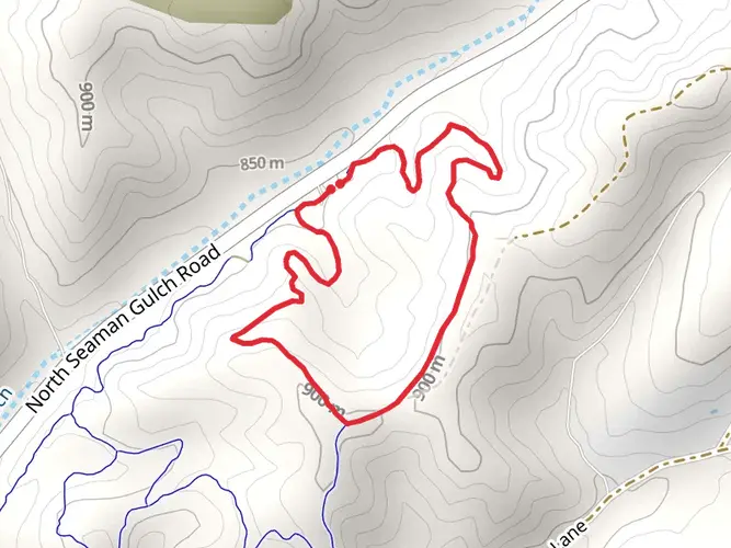
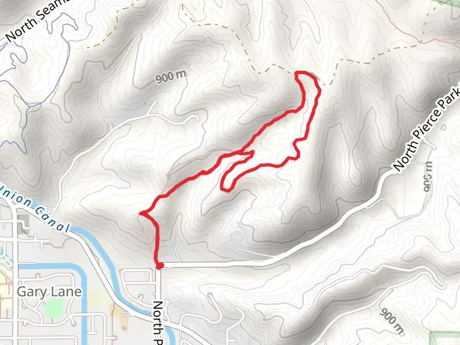
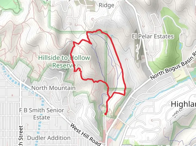
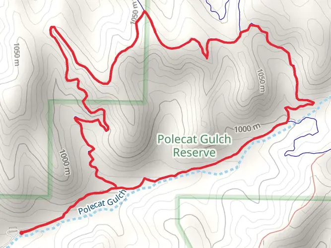
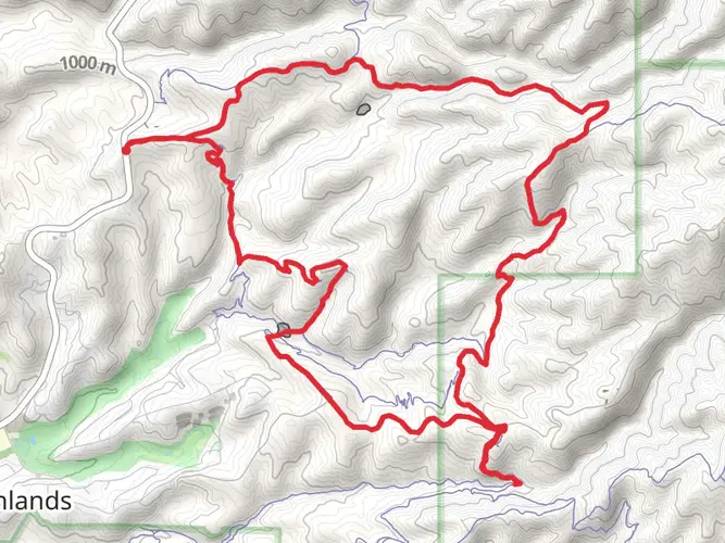
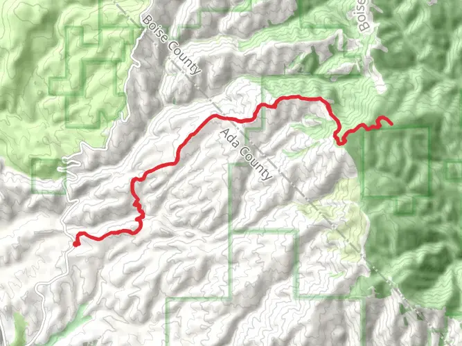
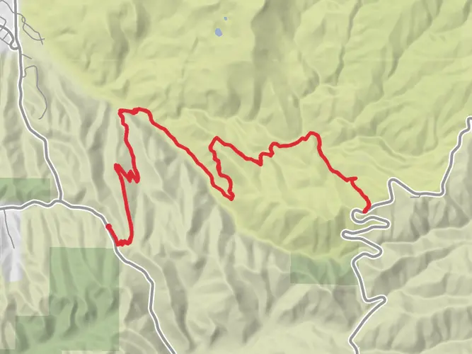
Polecat Gulch to Peggy’s trail to Sweet Connie to Bogus Basin Road
Download
3D Flyover
Add to list
More
26.8 km
~6 hrs 23 min
618 m
Out and Back
Embark upon an invigorating hike on the 30th of April at the Polecat Gulch Reserve, in Boise, ID, United States. This medium-difficulty hike is perfect for those seeking a challenge as it covers a substantial distance of 26.76 km in approximately 385 minutes. Get ready to take on an exciting elevation gain of 640m and prepare for a slightly steeper decent of 691m. The hike starts and ends at the Polecat Gulch Reserve, so you can easily plan your day accordingly. This is a single day hike, so mark your calendar and soak in the delightful outdoor experience that promises picturesque landscapes and vibrant natural life.

AI Planner
Days planned around your pace, with somewhere to stay each night.

What to expect?
Activity types
Surfaces
Unpaved
Dirt
Gravel
Unknown
Comments and Reviews
User comments, reviews and discussions about the Polecat Gulch to Peggy’s trail to Sweet Connie to Bogus Basin Road, Idaho.
average rating out of 5
0 rating(s)