
Download
3D Flyover
Add to list
More
9.9 km
~2 hrs 21 min
232 m
Point to Point
“Pine-shadowed paths, ancient echoes, and sea-bright vistas lead adventurous walkers from summit to harbor.”
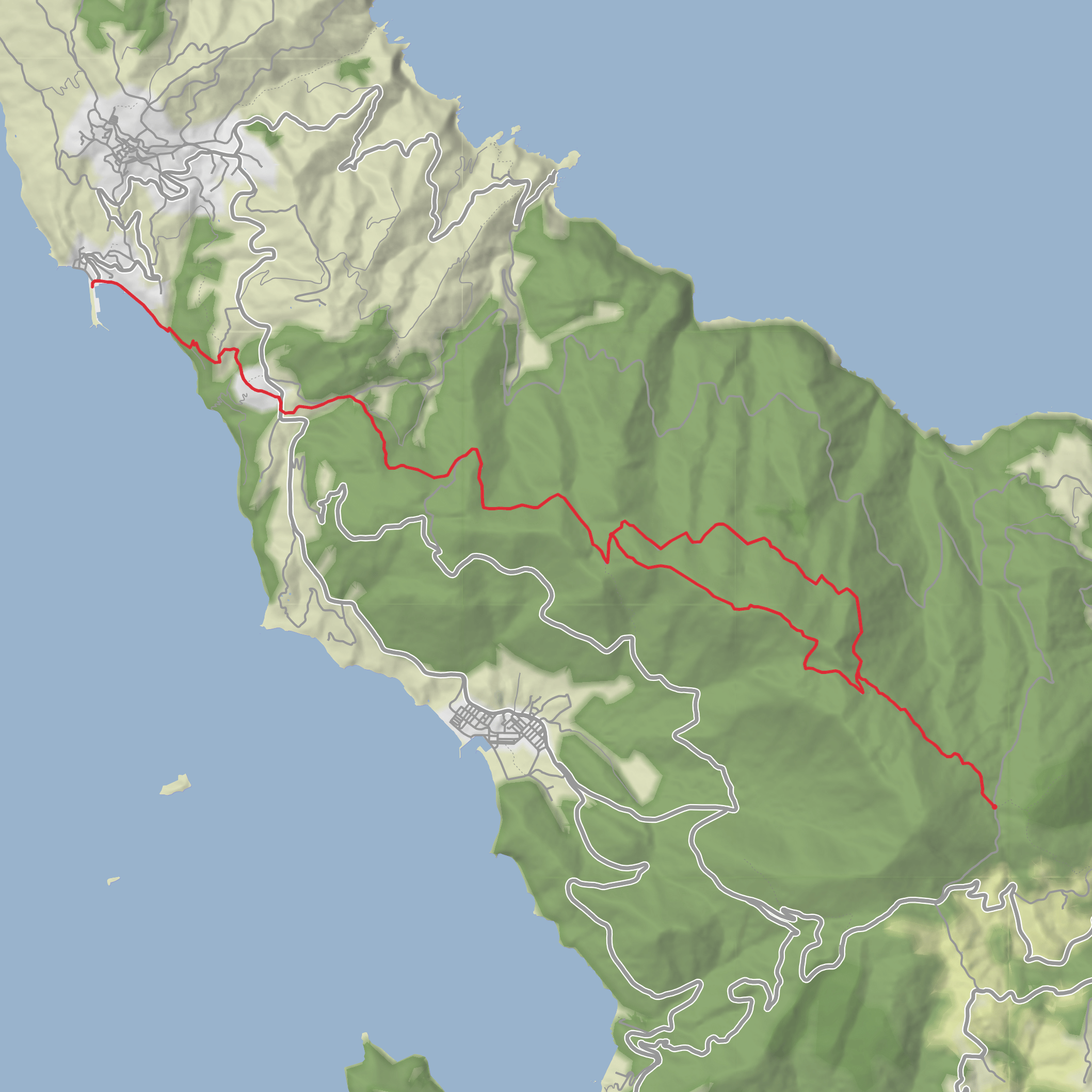
This medium-difficulty walk on Skopelos links mountain archaeology, the island’s highest summit, a traditional hillside village, and the harbor at Loutraki over roughly 10 km / 6.2 miles, with about 200 m / 656 ft of climbing overall. The route is best understood as a point-to-point traverse from the Sentoukia area across Delphi Peak and down toward Paleo Klima and Loutraki, so it rewards hikers who plan transport in advance rather than expecting a simple out-and-back. The high point is Delphi Peak at 681 m / 2,234 ft, the highest mountain on Skopelos. (skopelostrails.com)
The start coordinates published for the related municipal route are 39.09577, 23.67331, which correspond to the Pano Karya / Agios Riginos area in central Skopelos, while the finish side of the route trends northwest toward Paleo Klima and Loutraki, the port below Glossa. The municipal route page also gives an exit coordinate of 39.13669, 23.69084 for the Sentoukia side of the network, which helps place this hike within the island’s signed trail system. (visit.skopelos.gr)
By car, the simplest approach is to drive the island’s main road toward the Pano Karya–Agios Riginos area and leave the vehicle near the signed trail access, then arrange a taxi back from Loutraki or Paleo Klima. By public transport, the practical strategy is usually to reach Skopelos first by ferry or hydrofoil from mainland ports such as Volos or Agios Konstantinos, then use the island’s road network and bus/coach services between the main settlements. Skopelos has one main road linking the three principal villages several times daily, and Loutraki sits below Glossa on the island’s northwest side. Paleo Klima lies about 24 km / 14.9 miles from Skopelos Town, and Glossa is about 25.4 km / 15.8 miles from Skopelos Town. (en.wikipedia.org)
What the route feels like
The opening section is the most enclosed and mountain-like. From the Sentoukia side, the trail climbs through dense pine forest toward Delphi Peak on a marked path. Even though the total elevation gain is only around 200 m / 656 ft for this version, the uphill sections can still feel steady rather than gentle, especially in warm weather or if the ground is dry and loose underfoot. Expect a mix of shaded woodland, stony tread, and occasional breaks in the trees where the island begins to open around you. (skopelostrails.com)
Once on or near the summit ridge, the character changes noticeably. The forest gives way to more open viewpoints, and this is where the route earns its reputation. From Delphi Peak and the northwestern ridge, the views extend over Skopelos’ western coastline, toward Skiathos, and across the Aegean. On a clear day, the wider horizon can include Euboea and the Pelion peninsula. This is the most exposed part of the walk, so wind, sun, and heat can all be more noticeable here than in the forest below. (skopelostrails.com)
The descent toward Paleo Klima is more relaxed in gradient but still needs attention. Downhill sections on Greek island trails often combine rock, dust, and old path surfaces, so trekking poles can be useful if you like extra stability. As you lose height, the route transitions from mountain terrain into a more cultural landscape of village approaches, terraced slopes, and sea-facing views. The final continuation to Loutraki brings you down toward the harbor, where the mountain walk ends with a distinctly coastal feel. A related Skopelos hiking guide notes that the Paleo Klima to Loutraki section descends through terraced fields toward the sea. (visitskopelos.com)
Landmarks, history, and local character
One of the most significant features connected with this hike is Sentoukia, known for its ancient
Surfaces
Gravel
Unknown
Paved
Cobblestone
Dirt
Comments and Reviews
User comments, reviews and discussions about the Sentoukia, Delphi Peak, Paleo Klima and Loutraki, Greece.
average rating out of 5
0 rating(s)
