
Download
3D Flyover
Add to list
More
5.6 km
~1 hrs 19 min
129 m
Loop
“A compact Alonnisos loop weaving chapels, woodland and red-rock coves into a richly textured outing.”
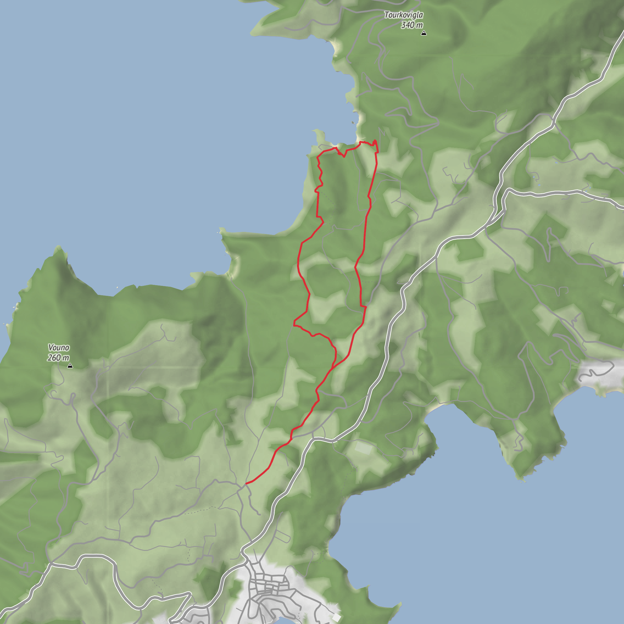
This roughly 6 km (3.7 mi) loop on Alonnisos is a compact coastal-and-woodland walk with about 100 m (330 ft) of climbing, but it feels richer than the numbers suggest. The route links a quiet hillside approach, the chapels of Agii Anargyri, a descent to the sea, and the striking cove of Tourkoneri, where red-toned rock and clear water give the walk its most memorable scenery. The terrain is varied rather than relentlessly steep, which is why a medium rating makes sense: the distance is modest, but there are uneven footpaths, short rocky sections, and some up-and-down movement that call for decent footing and attention. (topoguide.gr)
The walk is generally associated with the Agii Anargyri area on the east side of Alonnisos, with the practical start near the Mega Nero junction on the Patitiri–Gerakas road, not far from the turnoff used for the chapel access. One local route description places the start at the Mega Nero junction, while another explains that drivers heading toward Tsoukalia should turn right at the sign for the Church of the Saints Anargyri about 1.1 km before Tsoukalia Beach, then continue 1.3 km on the dirt road to the end, where the path begins. That makes the nearest useful landmark for planning purposes the Agii Anargyri chapel access road off the road toward Tsoukalia, near Mega Nero on Alonnisos. (topoguide.gr)
Getting to the start
If you are driving, the simplest approach is from Patitiri, Alonnisos’s main port settlement. Follow the road in the direction of Gerakas/Tsoukalia, then use the signed turn for Agii Anargyri; from there, a dirt road continues to the end of vehicle access near the start of the footpath. Road conditions are usually manageable for ordinary cars in dry weather, but the final dirt section can be rougher than the paved approach, so slower driving is sensible. Parking is typically informal rather than a large designated trailhead lot. (exploring-greece.gr)
For public transport, options on Alonnisos are more limited and more seasonal than on the mainland. The most realistic plan is usually to travel first to Patitiri by ferry, then use a local taxi to the Agii Anargyri/Mega Nero access point if no convenient island bus is running to the road junction you need. If relying on buses, check current island schedules locally before setting out, because service frequency can vary significantly outside peak season. This is one of those hikes where independent walkers should plan the return journey before leaving Patitiri. For navigation on the ground, HiiKER is the best tool to have ready. (alonnisostravel.gr)
What the route is like
From the start near Mega Nero, the loop begins with a short uphill section before dropping onto a clear path and then a dirt road. That early change in gradient is gentle enough for most regular walkers, but it sets the tone for the route: this is not a flat promenade, but a sequence of short transitions between road, path, chapel site, beach approach, and hillside return. (topoguide.gr)
The first major landmark is the site of Agii Anargyri, where there are two chapels, one older and one newer. This is the cultural heart of the walk and a natural place to pause. The setting is dramatic, perched above the sea on a wild side of the island that historically was reached only by path because the steep topography prevented direct road access. That old foot access is part of what gives the route its character: even though the hike is short, it still carries the feel of an older island walking network rather than a purpose-built tourist trail. (topoguide.gr)
From the chapels, the route descends to a small beach and then crosses a dirt road before reaching Tourkoneri, a small cove noted for its vivid rock color and sheltered feel. This is the scenic highlight for many walkers. If conditions are calm, it is an appealing place for a break, and some local tourism material specifically highlights stopping at Agii Anargyri and swimming at Tourkoneri. If you plan to swim, bring everything you need with you and do not assume services will be available. (topoguide.gr)
After Tourkoneri, steps lead up to a good path through a small olive grove, with gates at both ends. Beyond that, the route rejoins dirt road and then climbs back toward asphalt for the return to the starting point. One source notes that a final path segment behind a small reservoir
Surfaces
Unknown
Ground
Comments and Reviews
User comments, reviews and discussions about the Agii Anargyri Loop via Tourkoneri, Greece.
average rating out of 5
0 rating(s)


