Download
3D Flyover
Add to list
More
9.7 km
~2 hrs 19 min
236 m
Loop
“Embark on a 10 km trail blending nature, history, and wildlife near Zollernalbkreis, Germany.”
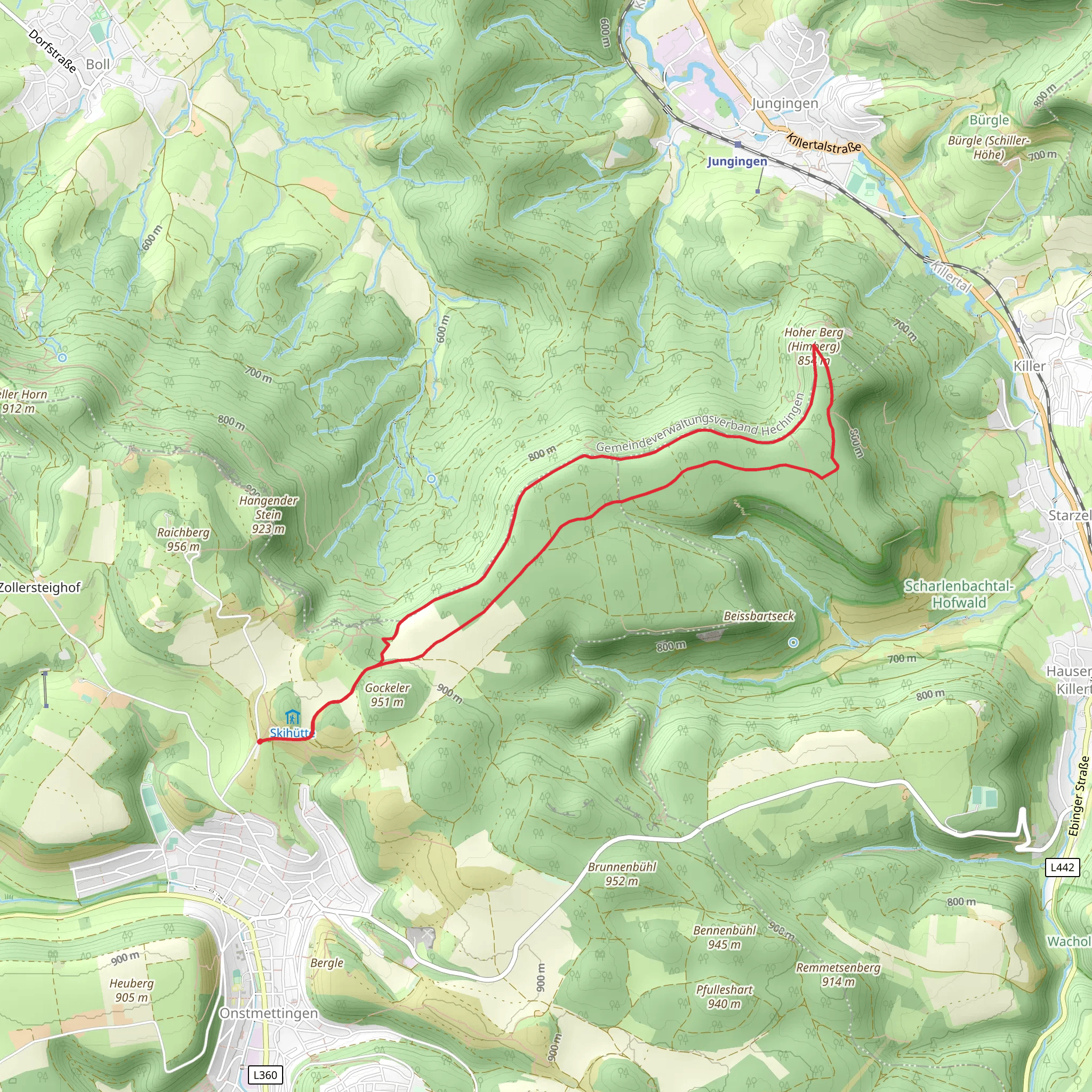
Starting your hike near Zollernalbkreis, Germany, the Hoher Berg via Schwaebische Alb Nordrand Weg is a captivating loop trail that spans approximately 10 km (6.2 miles) with an elevation gain of around 200 meters (656 feet). This medium-difficulty trail offers a blend of natural beauty, historical landmarks, and diverse wildlife, making it a rewarding experience for hikers.
Getting There
To reach the trailhead, you can either drive or use public transport. If you're driving, set your GPS to the nearest known address: Zollernalbkreis, Germany. For those opting for public transport, take a train to the nearest station in Hechingen, then catch a local bus or taxi to the trailhead.
Trail Overview
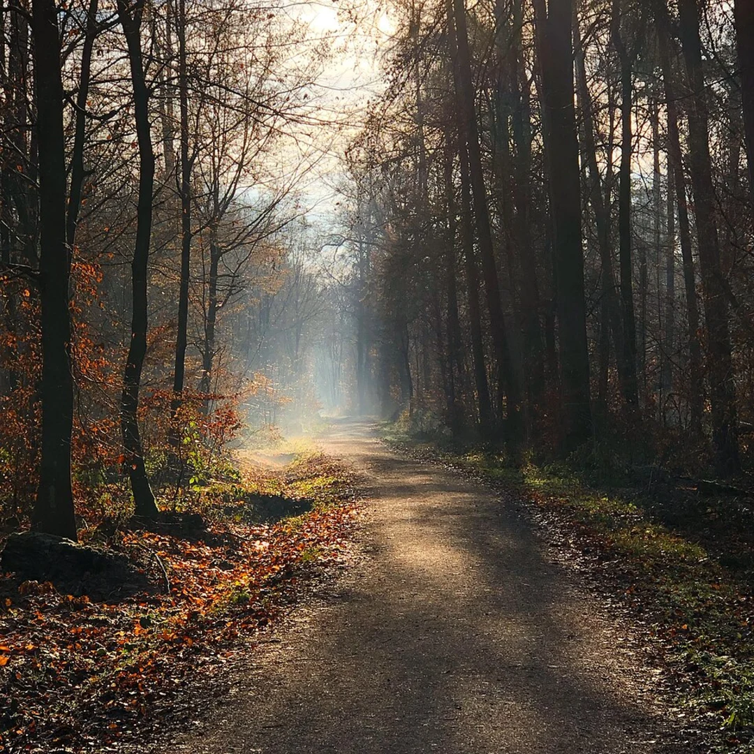
The trail begins with a gentle ascent, allowing you to ease into the hike. As you progress, you'll encounter a mix of forested paths and open meadows, each offering its own unique charm. The initial 2 km (1.2 miles) will take you through dense woodlands, where you might spot local wildlife such as deer and various bird species.
Key Landmarks and Points of Interest
Zeller Horn
Around the 3 km (1.9 miles) mark, you'll reach Zeller Horn, a notable viewpoint offering panoramic vistas of the surrounding landscape. This is an excellent spot for a short break and some photography.
Historical Significance
As you continue, you'll come across remnants of ancient fortifications and ruins, indicative of the region's rich history. The Schwaebische Alb has been inhabited since prehistoric times, and you'll find evidence of Roman and medieval settlements along the way.
Flora and Fauna
The trail is home to a variety of plant species, including wildflowers that bloom in the spring and summer months. Keep an eye out for the rare Swabian Alb orchids. The diverse ecosystem supports a range of wildlife, from small mammals to birds of prey.
Navigation and Safety
Given the trail's moderate difficulty, it's advisable to use a reliable navigation tool like HiiKER to stay on track. The trail is well-marked, but having a digital map can be invaluable, especially in the more remote sections.
Final Stretch
The last 3 km (1.9 miles) of the trail loop back towards the starting point, offering a mix of downhill and flat sections. This part of the hike is relatively easier, allowing you to enjoy the serene environment as you make your way back.
Practical Tips
- Footwear: Sturdy hiking boots are recommended due to the varied terrain.
- Weather: Check the weather forecast before you go, as conditions can change rapidly.
- Supplies: Carry enough water and snacks, as there are limited facilities along the trail.
- Wildlife: Be respectful of the local wildlife and maintain a safe distance.
This trail offers a well-rounded hiking experience, combining natural beauty, historical intrigue, and a moderate physical challenge. Whether you're a seasoned hiker or a nature enthusiast, the Hoher Berg via Schwaebische Alb Nordrand Weg is sure to leave a lasting impression.
What to expect?
Activity types
Comments and Reviews
User comments, reviews and discussions about the Hoher Berg via Schwaebische Alb Nordrand Weg, Germany.
4.0
average rating out of 5
2 rating(s)
