Download
3D Flyover
Add to list
More
8.9 km
~2 hrs 3 min
168 m
Loop
“Explore the scenic Raitenbuch Kuchentalweg and Hohllochweg trail—a 9 km loop rich in history and nature.”
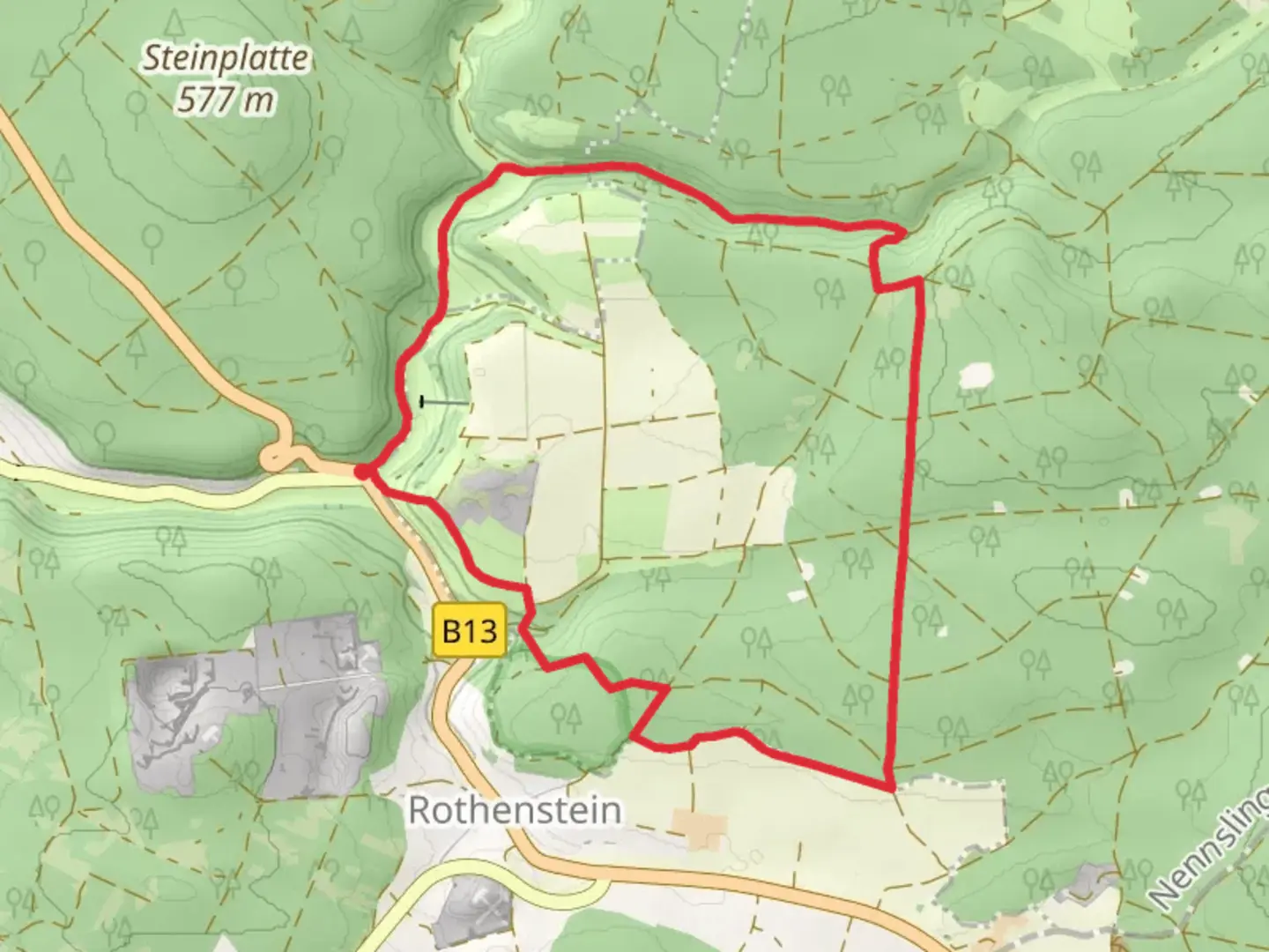
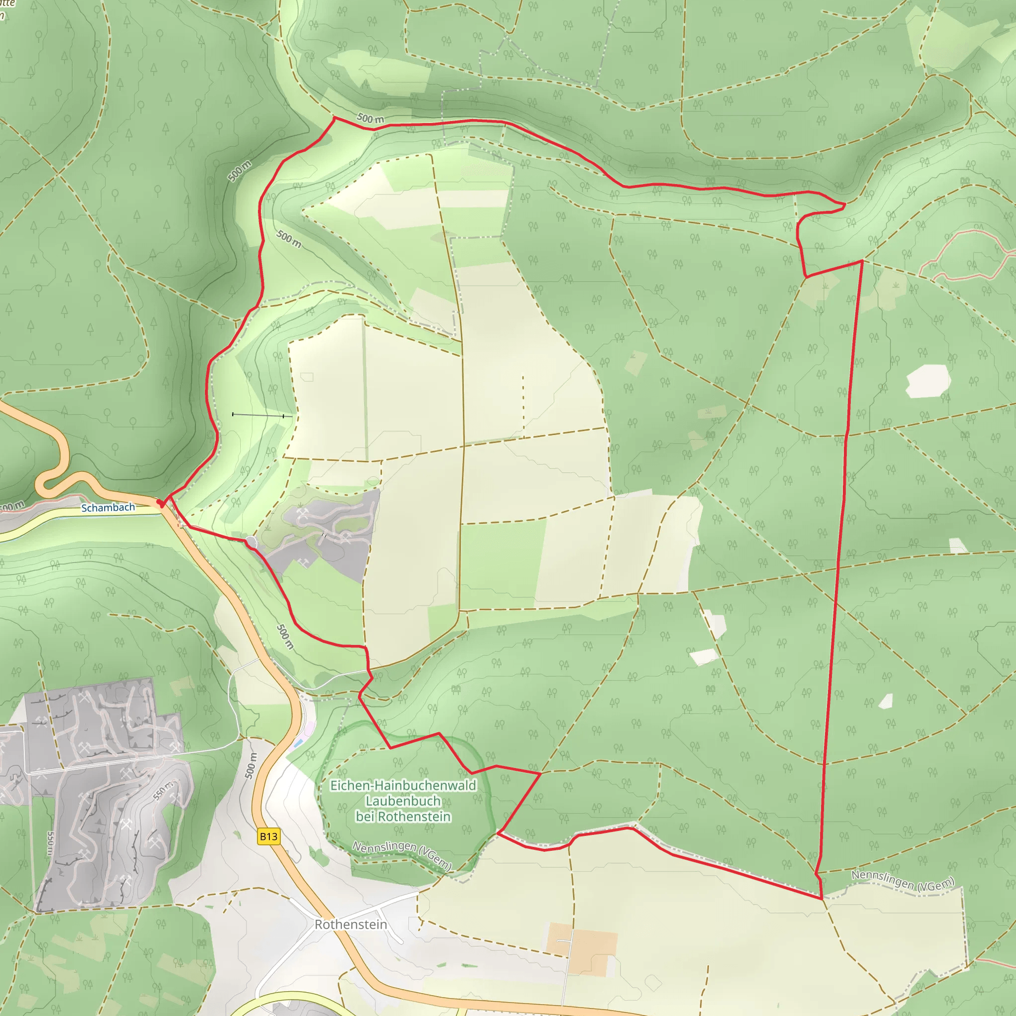
Starting near Weißenburg-Gunzenhausen in Germany, the Raitenbuch Kuchentalweg and Hohllochweg trail offers a delightful 9 km (5.6 miles) loop with an elevation gain of approximately 100 meters (328 feet). This medium-difficulty trail is perfect for those looking to explore the scenic beauty and historical richness of the region.
Getting There
To reach the trailhead, you can drive or use public transport. If driving, set your GPS to Weißenburg-Gunzenhausen, and look for parking near the town center. For public transport, take a train to Weißenburg station, which is well-connected to major cities like Nuremberg and Munich. From the station, you can either take a local bus or a short taxi ride to the trailhead.
Trail Overview
The trail begins near the picturesque town of Weißenburg-Gunzenhausen, known for its well-preserved medieval architecture and Roman history. As you start your hike, you'll immediately be immersed in the lush greenery of the Bavarian countryside.
Key Sections and Landmarks
Kuchentalweg
The first part of the trail, Kuchentalweg, takes you through a serene valley filled with diverse flora and fauna. Keep an eye out for native bird species and small mammals that inhabit the area. The path is well-marked and relatively flat, making it an enjoyable walk for the first 3 km (1.9 miles).
Hohllochweg
As you transition to the Hohllochweg section, the trail begins to ascend gently. This part of the hike offers stunning views of the surrounding hills and forests. At around the 5 km (3.1 miles) mark, you'll come across the Hohlloch Cave, a significant geological formation. The cave is a fascinating spot to explore, with its unique rock formations and historical significance as a shelter for early humans.
Historical Significance
The region around Weißenburg-Gunzenhausen is steeped in history. The town itself was a Roman settlement known as Biriciana, and remnants of Roman walls and baths can still be seen today. As you hike, you'll pass by several historical markers and information boards that provide insights into the area's rich past.
Navigation and Safety
For navigation, it's highly recommended to use the HiiKER app, which provides detailed maps and real-time updates. The trail is well-marked, but having a reliable navigation tool will ensure you stay on track.
Flora and Fauna
The trail is a haven for nature enthusiasts. Depending on the season, you might see wildflowers in full bloom, various bird species, and perhaps even deer. The forested areas are particularly beautiful in autumn when the leaves change color, creating a vibrant tapestry of reds, oranges, and yellows.
Final Stretch
The last 2 km (1.2 miles) of the trail loop back towards Weißenburg-Gunzenhausen. This section is mostly downhill, offering a relaxing end to your hike. As you approach the town, you'll pass through open fields and meadows, providing a final opportunity to soak in the natural beauty of the region.
Practical Tips
- Wear sturdy hiking boots, as some sections can be rocky and uneven.
- Bring water and snacks, especially if you plan to explore the Hohlloch Cave.
- Check the weather forecast before heading out, as conditions can change rapidly.
- Use the HiiKER app for navigation and trail information.
This trail offers a perfect blend of natural beauty, historical intrigue, and moderate physical challenge, making it a must-visit for any hiking enthusiast.
Comments and Reviews
User comments, reviews and discussions about the Raitenbuch Kuchentalweg and Hohllochweg, Germany.
average rating out of 5
0 rating(s)
