Download
3D Flyover
Add to list
More
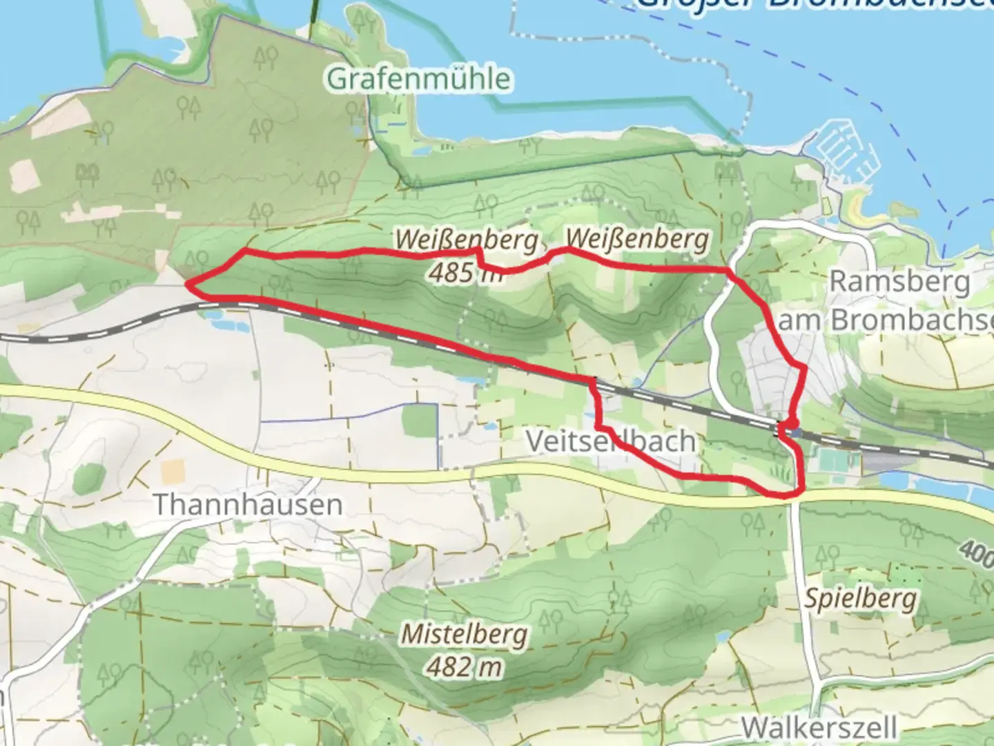
7.8 km
~1 hrs 45 min
116 m
Loop
“Explore the scenic Pleinfeld 84 trail's natural beauty, wildlife, and historical landmarks on an 8 km loop.”
Starting near Weißenburg-Gunzenhausen in Germany, the Pleinfeld 84 trail is a delightful 8 km (approximately 5 miles) loop with an elevation gain of around 100 meters (328 feet). This medium-difficulty trail offers a mix of natural beauty, historical landmarks, and a touch of local wildlife, making it a rewarding experience for hikers of various skill levels.
Getting There
To reach the trailhead, you can either drive or use public transport. If you're driving, set your GPS to Weißenburg-Gunzenhausen, and you'll find ample parking options near the starting point. For those using public transport, take a train to Weißenburg station. From there, local buses or a short taxi ride will get you to the trailhead.
Trail Navigation
For navigation, it's highly recommended to use the HiiKER app, which provides detailed maps and real-time updates to ensure you stay on track.
Trail Highlights
Natural Beauty
The Pleinfeld 84 trail meanders through a picturesque landscape characterized by lush forests, rolling hills, and serene meadows. As you hike, you'll encounter a variety of flora, including oak, beech, and pine trees. During spring and summer, the trail is adorned with wildflowers, adding a splash of color to your journey.
Wildlife
Keep an eye out for local wildlife such as deer, foxes, and various bird species. Early morning or late afternoon hikes increase your chances of spotting these animals in their natural habitat.
Historical Significance
The region around Weißenburg-Gunzenhausen is steeped in history. As you hike, you'll come across remnants of ancient Roman settlements. One notable landmark is the Roman Limes, a UNESCO World Heritage site that once marked the boundary of the Roman Empire. Approximately 3 km (1.86 miles) into the hike, you'll find an information board detailing the history and significance of this ancient structure.
Key Sections of the Trail
Initial Ascent
The trail begins with a gentle ascent through a dense forest. This section is about 2 km (1.24 miles) long and gains around 50 meters (164 feet) in elevation. The well-marked path ensures an easy start, allowing you to acclimate to the terrain.
Midway Point
Around the 4 km (2.48 miles) mark, you'll reach the highest point of the trail. Here, you'll be rewarded with panoramic views of the surrounding countryside. This is an excellent spot for a short break and some photography.
Descent and Return
The final 4 km (2.48 miles) of the trail involve a gradual descent back to the starting point. This section takes you through open meadows and along a gentle stream, providing a peaceful end to your hike.
Practical Tips
- Footwear: Sturdy hiking boots are recommended due to uneven terrain.
- Weather: Check the weather forecast before heading out, as conditions can change rapidly.
- Supplies: Bring sufficient water and snacks, especially during warmer months.
- Safety: Always inform someone of your hiking plans and estimated return time.
By following these guidelines and using the HiiKER app for navigation, you'll be well-prepared to enjoy the Pleinfeld 84 trail in all its natural and historical splendor.

Comments and Reviews
User comments, reviews and discussions about the Pleinfeld 84, Germany.
average rating out of 5
0 rating(s)