Download
3D Flyover
Add to list
More
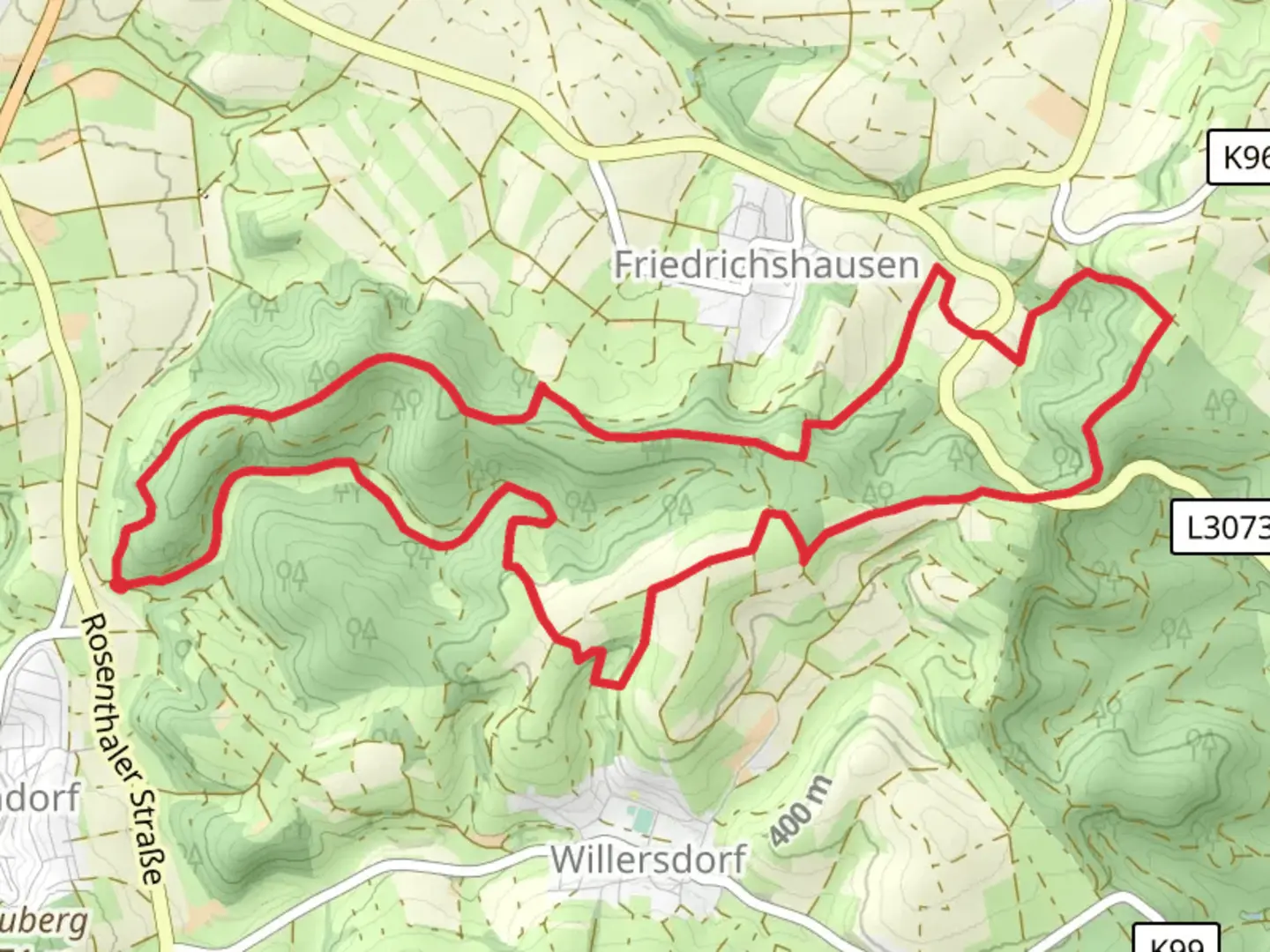
12.4 km
~2 hrs 59 min
310 m
Loop
“Explore lush forests, historic ruins, and stunning vistas on the captivating Altenheiemer Berg and Knebelsrod Loop.”
Starting your hike near Waldeck-Frankenberg, Germany, the Altenheiemer Berg and Knebelsrod Loop is a captivating 12 km (7.5 miles) trail with an elevation gain of around 300 meters (984 feet). This loop trail is rated as medium difficulty, making it suitable for moderately experienced hikers.
Getting There
To reach the trailhead, you can drive or use public transport. If driving, set your GPS to Waldeck-Frankenberg, and look for parking near the town center. For public transport, take a train to the nearest major station, such as Korbach, and then a local bus to Waldeck-Frankenberg. The trailhead is conveniently located near the town, making it easily accessible.
Trail Overview
The trail begins with a gentle ascent, allowing you to warm up as you make your way through lush forests and open meadows. Early on, you'll encounter a mix of deciduous and coniferous trees, providing a rich tapestry of colors, especially in autumn. The first significant landmark is the Altenheiemer Berg, approximately 3 km (1.9 miles) into the hike. Here, you'll gain about 150 meters (492 feet) in elevation, offering panoramic views of the surrounding countryside.
Historical Significance
As you continue, you'll come across remnants of historical significance. The region around Waldeck-Frankenberg has a rich history dating back to medieval times. Keep an eye out for old stone walls and ruins that hint at the area's past. Around the 5 km (3.1 miles) mark, you'll find a small, ancient chapel, a perfect spot for a short rest and some reflection.
Flora and Fauna
The trail is teeming with wildlife. Deer and wild boar are common in the area, so keep your eyes peeled and your camera ready. Birdwatchers will also find plenty to enjoy, with species like the European robin and the black woodpecker frequently spotted. The flora is equally diverse, with wildflowers dotting the meadows in spring and summer.
Knebelsrod
Around the 8 km (5 miles) point, you'll reach Knebelsrod, the highest point of the trail. Here, you've gained nearly all of the 300 meters (984 feet) in elevation. The summit offers breathtaking views and is an ideal spot for a longer break. There are benches and a small picnic area where you can enjoy a packed lunch while taking in the scenery.
Navigation and Safety
The trail is well-marked, but it's always a good idea to have a reliable navigation tool. HiiKER is an excellent app for this purpose, providing detailed maps and real-time location tracking. Ensure you have enough water and snacks, as there are limited facilities along the route. Wear sturdy hiking boots, as some sections can be rocky and uneven.
Final Stretch
The descent begins after Knebelsrod, leading you through more dense forest and eventually back to open fields. The final 4 km (2.5 miles) are relatively easy, allowing you to cool down as you make your way back to the trailhead. Along the way, you'll pass through charming rural landscapes, dotted with traditional German farmhouses.
This loop trail offers a perfect blend of natural beauty, historical intrigue, and moderate physical challenge, making it a rewarding experience for any hiker.

What to expect?
Activity types
Comments and Reviews
User comments, reviews and discussions about the Altenheiemer Berg and Knebelsrod Loop, Germany.
4.5
average rating out of 5
2 rating(s)