Download
Preview
Add to list
More
7.8 km
~1 hrs 43 min
104 m
Loop
“A picturesque 8 km loop trail in Vogelsbergkreis, Germany, blending natural beauty and volcanic history.”
Starting near Vogelsbergkreis, Germany, this 8 km (approximately 5 miles) loop trail offers a delightful mix of natural beauty and historical significance. With an elevation gain of around 100 meters (328 feet), the trail is rated as medium difficulty, making it accessible for most hikers with a moderate level of fitness.
Getting There
To reach the trailhead, you can either drive or use public transport. If you're driving, set your GPS to the nearest known address: Vogelsbergkreis, Germany. There is ample parking available near the trailhead. For those using public transport, take a train or bus to the nearest station in Vogelsbergkreis and then a short taxi ride or local bus to the trailhead.
Trail Highlights
Taufstein
The first significant landmark you'll encounter is Taufstein, the highest peak in the Vogelsberg range. At approximately 2 km (1.2 miles) into the hike, you'll start to ascend towards this peak. The elevation gain here is gradual, making it a manageable climb. Once at the top, you'll be rewarded with panoramic views of the surrounding landscape. The area is rich in volcanic history, as Vogelsberg is one of the largest extinct volcanic regions in Europe.
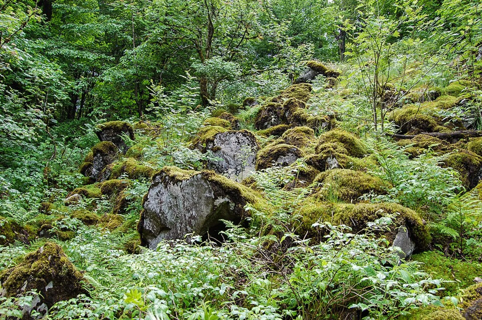
Geiselstein
Continuing on, you'll reach Geiselstein around the 4 km (2.5 miles) mark. This section of the trail is relatively flat, allowing you to catch your breath and enjoy the lush forest surroundings. Geiselstein is known for its unique rock formations, which are remnants of ancient volcanic activity. Keep an eye out for local wildlife, including deer and various bird species that inhabit this area.
Oberer Forellenteich
At approximately 6 km (3.7 miles), you'll come across Oberer Forellenteich, a serene pond that offers a perfect spot for a short break. The pond is home to a variety of fish and is a popular spot for local anglers. The surrounding area is dotted with benches and picnic spots, making it an ideal place to relax and take in the natural beauty.
Flößerteich Loop
The final stretch of the trail takes you around Flößerteich, another picturesque pond. This section is relatively flat and easy, allowing you to wind down as you complete the loop. The trail here is well-marked, but it's always a good idea to have a reliable navigation tool like HiiKER to ensure you stay on track.
Historical Significance
The Vogelsberg region is steeped in history, particularly related to its volcanic origins. The unique geological formations you'll encounter along the trail are a testament to the area's ancient volcanic activity. Additionally, the region has a rich cultural history, with several old villages and historical landmarks nearby that are worth exploring if you have extra time.
Preparation Tips
- Wear sturdy hiking boots, as some sections of the trail can be rocky and uneven.
- Bring plenty of water and snacks, especially if you plan to take breaks at the ponds.
- Check the weather forecast before heading out, as conditions can change rapidly in this region.
- Use HiiKER for navigation to ensure you stay on the correct path and make the most of your hike.
This trail offers a perfect blend of natural beauty, moderate physical challenge, and historical intrigue, making it a must-visit for any hiking enthusiast.

What to expect?
Activity types
Comments and Reviews
User comments, reviews and discussions about the Taufstein, Geiselstein and Oberer Forellenteich - Flößerteich Loop, Germany.
4.6
average rating out of 5
5 rating(s)