Download
3D Flyover
Add to list
More
111.1 km
~5 days
3288 m
Multi-Day
“Embark on the scenic Kandel-Höhenweg, a journey through history, nature, and the heart of the Black Forest.”
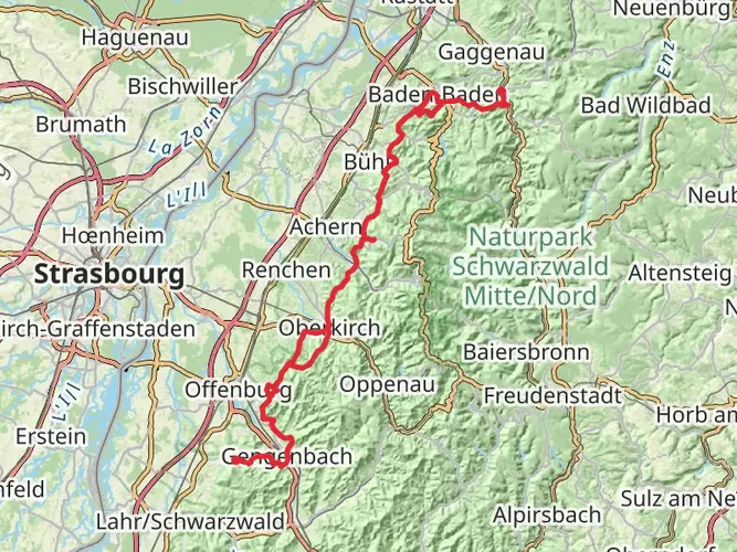
The Kandel-Höhenweg is a captivating point-to-point trail that stretches approximately 111 kilometers (about 69 miles) and ascends roughly 3200 meters (about 10,500 feet) in elevation. This trail offers a medium difficulty rating, making it accessible to hikers with a reasonable level of fitness and experience.
Starting near the administrative community of Oberkirch in Germany, the trailhead can be reached by public transport or car. For those opting for public transport, the nearest train station is in Oberkirch, from which you can take a bus or taxi to the trailhead. If driving, parking is available in the vicinity of the starting point.
Navigating the Trail
As you embark on your journey, the HiiKER app will be an invaluable tool for navigation, providing detailed maps and waypoints to ensure you stay on the correct path. The trail is well-marked, but having a digital tool like HiiKER can help you anticipate upcoming changes in terrain and elevation.
Landmarks and Scenery
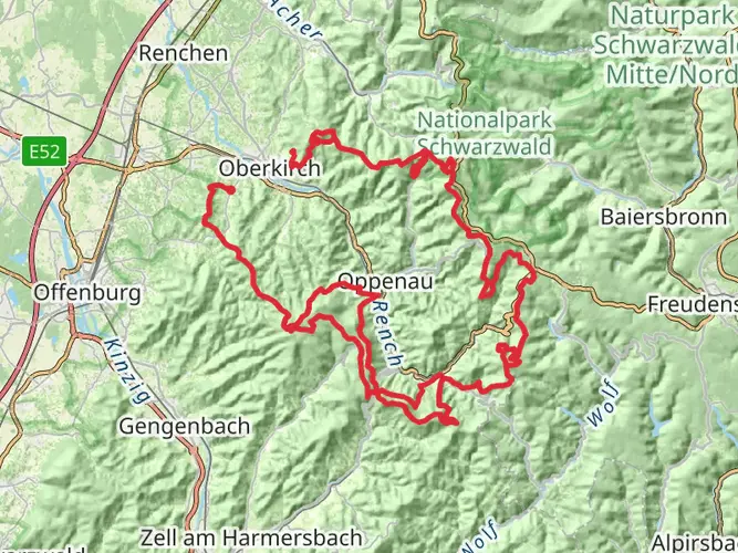
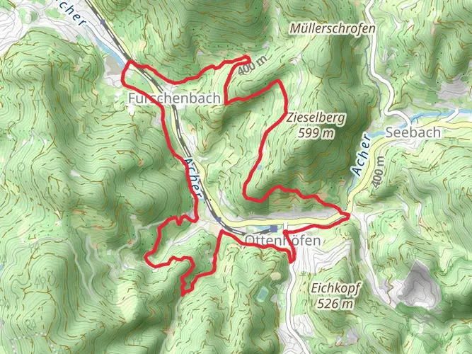
The Kandel-Höhenweg trail is renowned for its stunning vistas and diverse landscapes. You'll traverse dense forests, open meadows, and serene valleys, each offering unique views of the Black Forest region. The trail is punctuated by several notable landmarks, including the Kandel mountain, which is one of the highest peaks in the Black Forest and provides panoramic views of the surrounding area.
Historical Significance
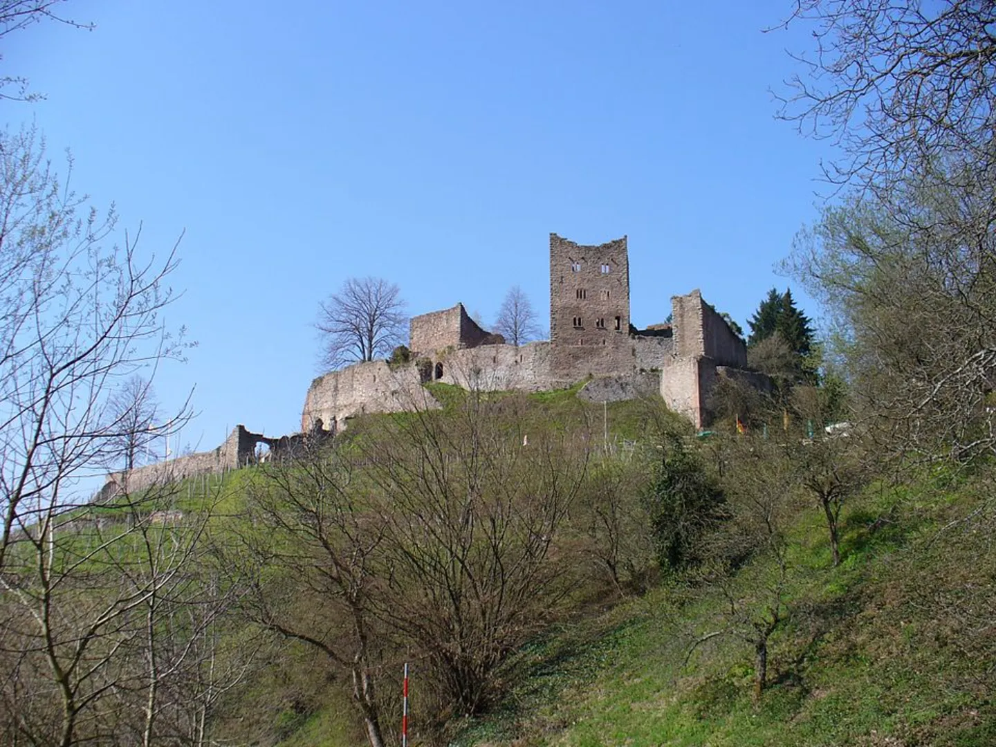
The region is steeped in history, with the trail itself winding past ancient ruins, monasteries, and traditional German villages. These areas provide a glimpse into the past, showcasing architecture and cultural heritage that dates back centuries. Hikers will have the opportunity to learn about the region's historical significance while enjoying the natural beauty of the trail.
Flora and Fauna
Nature enthusiasts will appreciate the diverse wildlife and plant species found along the Kandel-Höhenweg. The trail is home to a variety of birds, mammals, and insects, as well as an array of plant life that changes with the seasons. Be sure to look out for the colorful wildflowers in spring and the rich hues of the foliage in autumn.
Preparation and Planning
Given the trail's length and elevation gain, it's important to plan for multiple days of hiking and to pack accordingly. Ensure you have enough food, water, and appropriate gear for the weather conditions, which can vary greatly at different elevations and times of the year. It's also wise to check the forecast and trail conditions before setting out, as parts of the trail can become challenging during inclement weather.
Accommodation and Rest Stops
Along the Kandel-Höhenweg, there are various options for accommodation, ranging from campgrounds to guesthouses. Planning your rest stops in advance is recommended, as some sections of the trail are more remote and have fewer facilities. Be sure to book accommodations ahead of time during peak hiking seasons to secure your spot.
Conclusion
By preparing adequately and respecting the natural environment, hikers can look forward to an unforgettable experience on the Kandel-Höhenweg. With its rich history, diverse landscapes, and the opportunity for adventure, this trail is a must-hike for enthusiasts looking to explore the heart of the Black Forest.

Frequently asked questions
How many stages is the Kandel-Höhenweg usually split into?
The Kandel-Höhenweg is commonly divided into 5 stages. Across the full route, it runs about 111.14 km with 3,288 m of climbing, and published stage breakdowns place the daily distances roughly in the 17 to 28 km range between Oberkirch and Freiburg im Breisgau.
Where does the Kandel-Höhenweg start and finish?
The Kandel-Höhenweg is a point-to-point hike linking Oberkirch in the Ortenau with Freiburg im Breisgau in the Breisgau. The route crosses the Black Forest west of the Westweg and passes through places including Gengenbach, Waldkirch, and St. Peter on its way to the finish.
What is Stage 1 of the Kandel-Höhenweg from Oberkirch like?
Stage 1 of the Kandel-Höhenweg is generally listed from Oberkirch to Gengenbach. It is about 25 km long and includes a major early climb over the Mooskopf, around 871 m, before descending into the Kinzig Valley and finishing in Gengenbach’s historic old town.
How hard is the Kandel-Höhenweg and how much elevation does it have?
The Kandel-Höhenweg is a medium-difficulty multi-day hike, but the numbers make it a serious walk. The route covers 111.14 km with 3,288 m of ascent, and the climb to Kandel, the highest mountain in the central Black Forest at about 1,241 m, is one of the biggest physical tests on the trail.
Is the Kandel-Höhenweg well marked?
Yes. The Kandel-Höhenweg is waymarked with a red diamond carrying a white K, and it is maintained as one of the Black Forest long-distance trails. That makes navigation straightforward on the ground, especially across the route’s forested ridges, valleys, and connecting sections between trail towns.
Can the Kandel-Höhenweg be hiked in either direction?
Yes. The Kandel-Höhenweg can be walked either from Oberkirch to Freiburg or in reverse from Freiburg to Oberkirch. One commonly published southbound breakdown starts in Freiburg and uses 5 stages of about 17 km, 18 km, 22 km, 28 km, and 25 km, showing that the route works well in either direction.
Is the Kandel-Höhenweg suitable for mountain biking?
The Kandel-Höhenweg is established and signposted as a long-distance hiking trail rather than a dedicated MTB route. Parts of the wider Kandel area do have biking opportunities, but the Kandel-Höhenweg itself is managed and promoted for hiking, so it should not be treated as a purpose-built mountain bike trail.
Comments and Reviews
User comments, reviews and discussions about the Kandel-Höhenweg, Germany.
4.57
average rating out of 5
7 rating(s)