Download
3D Flyover
Add to list
More
8.6 km
~2 hrs 26 min
437 m
Loop
“The Hummelsberg and Mehringer Berg Loop offers captivating views, historical intrigue, and a moderate hiking challenge.”
Starting near Trier-Saarburg, Germany, the Hummelsberg and Mehringer Berg Loop is a captivating 9 km (5.6 miles) trail with an elevation gain of approximately 400 meters (1,312 feet). This loop trail is rated medium in difficulty, making it suitable for moderately experienced hikers.
Getting There
To reach the trailhead, you can drive or use public transport. If driving, head towards the town of Mehring, which is well-signposted from Trier. There is ample parking available near the starting point. For those using public transport, take a train to Trier and then a bus to Mehring. The bus stop is conveniently located near the trailhead.
Trail Overview
The trail begins with a gentle ascent through lush forests, offering a serene start to your hike. As you progress, the path becomes steeper, leading you up to the Hummelsberg. This initial climb covers about 2 km (1.2 miles) and gains roughly 150 meters (492 feet) in elevation. The forest is home to a variety of wildlife, including deer and numerous bird species, so keep your eyes peeled.
Hummelsberg Summit
Upon reaching the summit of Hummelsberg, you'll be rewarded with panoramic views of the surrounding countryside. This is an excellent spot for a short break and some photography. The summit is marked by a small wooden cross, a common sight in this region.
Descent and Mehringer Berg
The trail then descends gently for about 1.5 km (0.9 miles) before beginning the ascent to Mehringer Berg. This section is less steep but still offers a good workout, with an elevation gain of around 100 meters (328 feet). The path here is well-maintained and winds through a mix of deciduous and coniferous trees.
Historical Significance
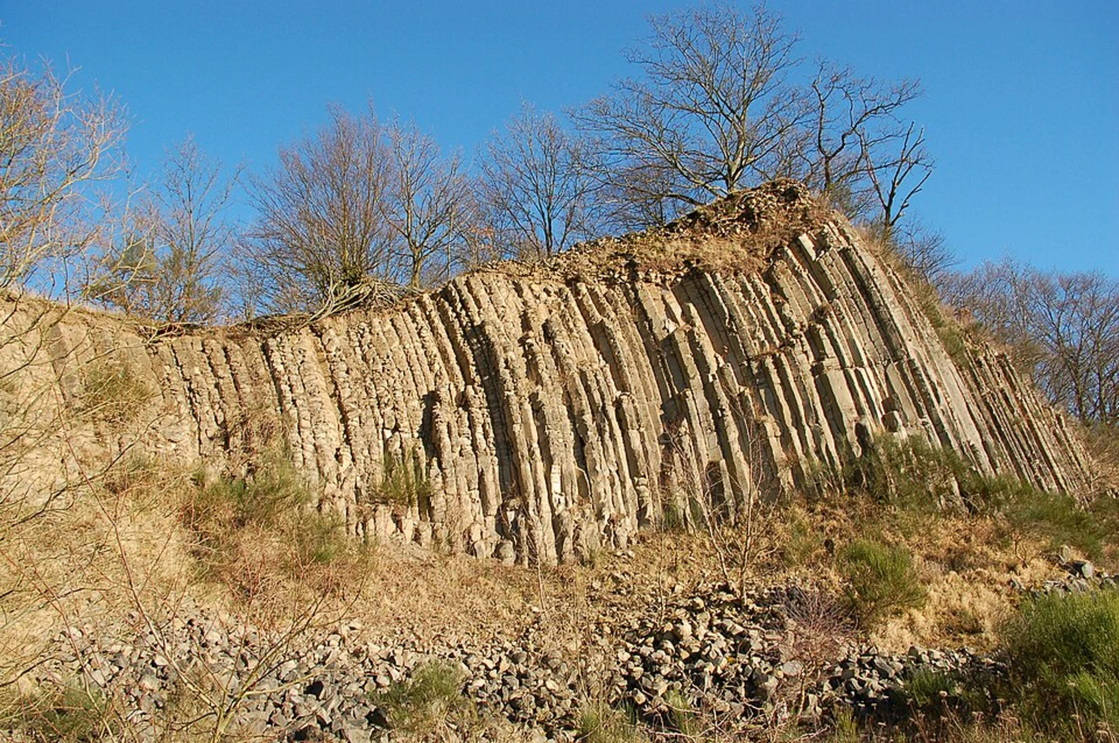
Mehringer Berg is not just a natural wonder; it also holds historical significance. The area was once a Roman settlement, and you can still find remnants of ancient structures if you look closely. Informational plaques along the trail provide insights into the history of the region, making this hike both physically and intellectually stimulating.
Final Stretch
After reaching the summit of Mehringer Berg, the trail loops back towards the starting point. This final stretch is mostly downhill, covering about 3 km (1.9 miles). The descent offers more stunning views and passes through open meadows, where you might spot wildflowers in bloom during the spring and summer months.
Navigation
For navigation, it's highly recommended to use the HiiKER app, which provides detailed maps and real-time updates. This will ensure you stay on track and can fully enjoy the hike without worrying about getting lost.
Flora and Fauna
The trail is rich in biodiversity. In addition to deer and birds, you might encounter foxes and various small mammals. The flora is equally diverse, with oak, beech, and pine trees dominating the landscape. Seasonal changes bring different colors and scents, making each hike a unique experience.
Practical Tips
Wear sturdy hiking boots, as some sections can be rocky and uneven. Bring plenty of water and snacks, especially if you plan to take your time exploring the historical sites. Weather can be unpredictable, so pack a light rain jacket just in case.
This trail offers a perfect blend of natural beauty, physical challenge, and historical intrigue, making it a must-visit for any hiking enthusiast.

What to expect?
Activity types
Comments and Reviews
User comments, reviews and discussions about the Hummelsberg and Mehringer Berg Loop, Germany.
4.0
average rating out of 5
2 rating(s)