Download
3D Flyover
Add to list
More
4.0 km
~1 hrs 3 min
157 m
Loop
“Discover the Wolfsdeller Hals and Mehrsberg Loop: a scenic, moderately challenging 4 km hike in Südwestpfalz.”
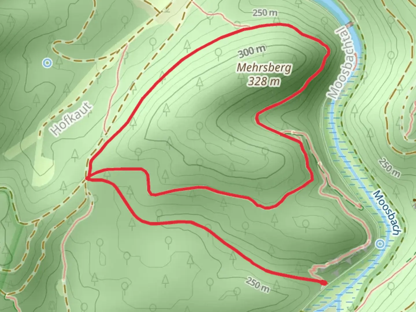
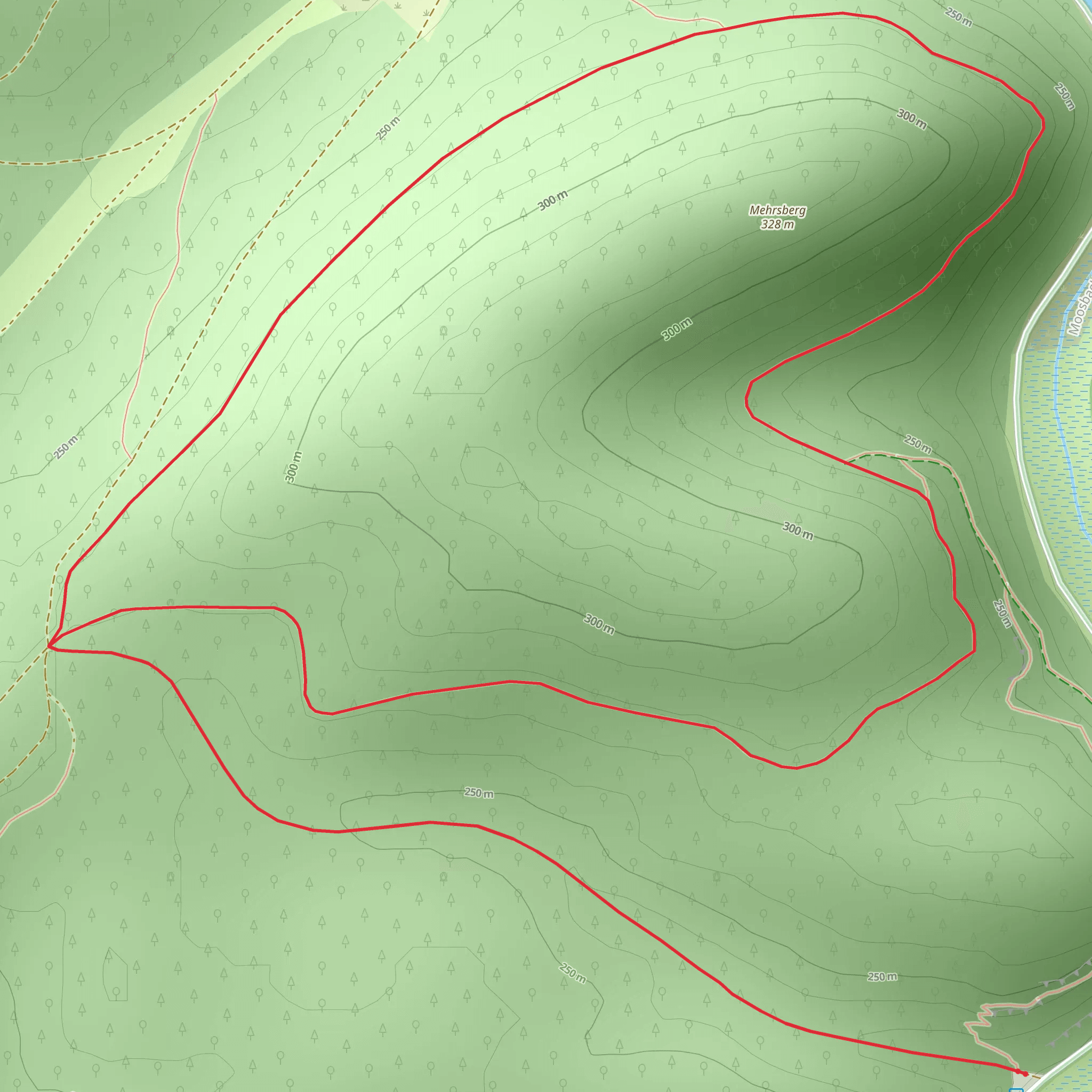
Starting near the charming region of Südwestpfalz, Germany, the Wolfsdeller Hals and Mehrsberg Loop via Wolfs Tour is a delightful 4 km (2.5 miles) loop trail with an elevation gain of approximately 100 meters (328 feet). This trail offers a medium difficulty rating, making it suitable for hikers with some experience.
Getting There
To reach the trailhead, you can drive or use public transport. If driving, set your GPS to the nearest known address: Hauptstraße 1, 66996 Fischbach bei Dahn, Germany. There is parking available near the trailhead. For those using public transport, take a train to the nearest station at Hinterweidenthal Ort, and from there, a local bus or taxi can take you to the trailhead.
Trail Overview
The trail begins with a gentle ascent through a dense forest, where you will be surrounded by towering trees and the soothing sounds of nature. As you progress, the path becomes more rugged, with occasional rocky sections that require careful footing. The initial climb is about 50 meters (164 feet) over the first kilometer (0.6 miles).
Landmarks and Points of Interest
At around the 1.5 km (0.9 miles) mark, you will come across the Wolfsdeller Hals, a scenic viewpoint offering panoramic views of the surrounding landscape. This is an excellent spot to take a break and enjoy the natural beauty of the Südwestpfalz region.
Continuing on, the trail leads you to Mehrsberg, another notable viewpoint. Here, you can see the remnants of historical significance, including ancient boundary stones that date back to medieval times. These stones once marked the borders of local territories and are a fascinating glimpse into the region's past.
Flora and Fauna
The trail is rich in biodiversity. Keep an eye out for various species of birds, including woodpeckers and songbirds. The forest floor is often carpeted with wildflowers in the spring and summer months, adding a splash of color to your hike. You might also spot deer and other small mammals that inhabit the area.
Navigation and Safety
The trail is well-marked, but it's always a good idea to have a reliable navigation tool. HiiKER is an excellent app for this purpose, providing detailed maps and real-time tracking to ensure you stay on course.
Final Stretch
The final section of the loop takes you through a serene valley, gradually descending back to the trailhead. This part of the trail is less strenuous, allowing you to relax and reflect on the journey. The descent is about 50 meters (164 feet) over the last kilometer (0.6 miles).
Practical Tips
- Wear sturdy hiking boots with good grip, as some sections can be rocky and uneven.
- Bring plenty of water, especially during warmer months.
- A light snack or packed lunch can be enjoyed at one of the scenic viewpoints.
- Check the weather forecast before heading out, as conditions can change rapidly.
This trail offers a perfect blend of natural beauty, historical intrigue, and moderate physical challenge, making it a rewarding experience for any hiker.
What to expect?
Activity types
Comments and Reviews
User comments, reviews and discussions about the Wolfsdeller Hals and Mehrsberg Loop via Wolfs Tour, Germany.
4.8
average rating out of 5
5 rating(s)
