Download
3D Flyover
Add to list
More
7.3 km
~1 hrs 38 min
108 m
Loop
“Explore the scenic 7 km Würselen Loop, rich in history and nature, perfect for moderate hikers.”
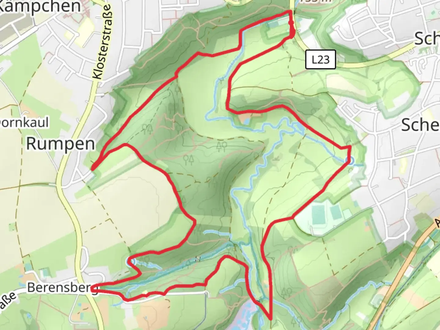
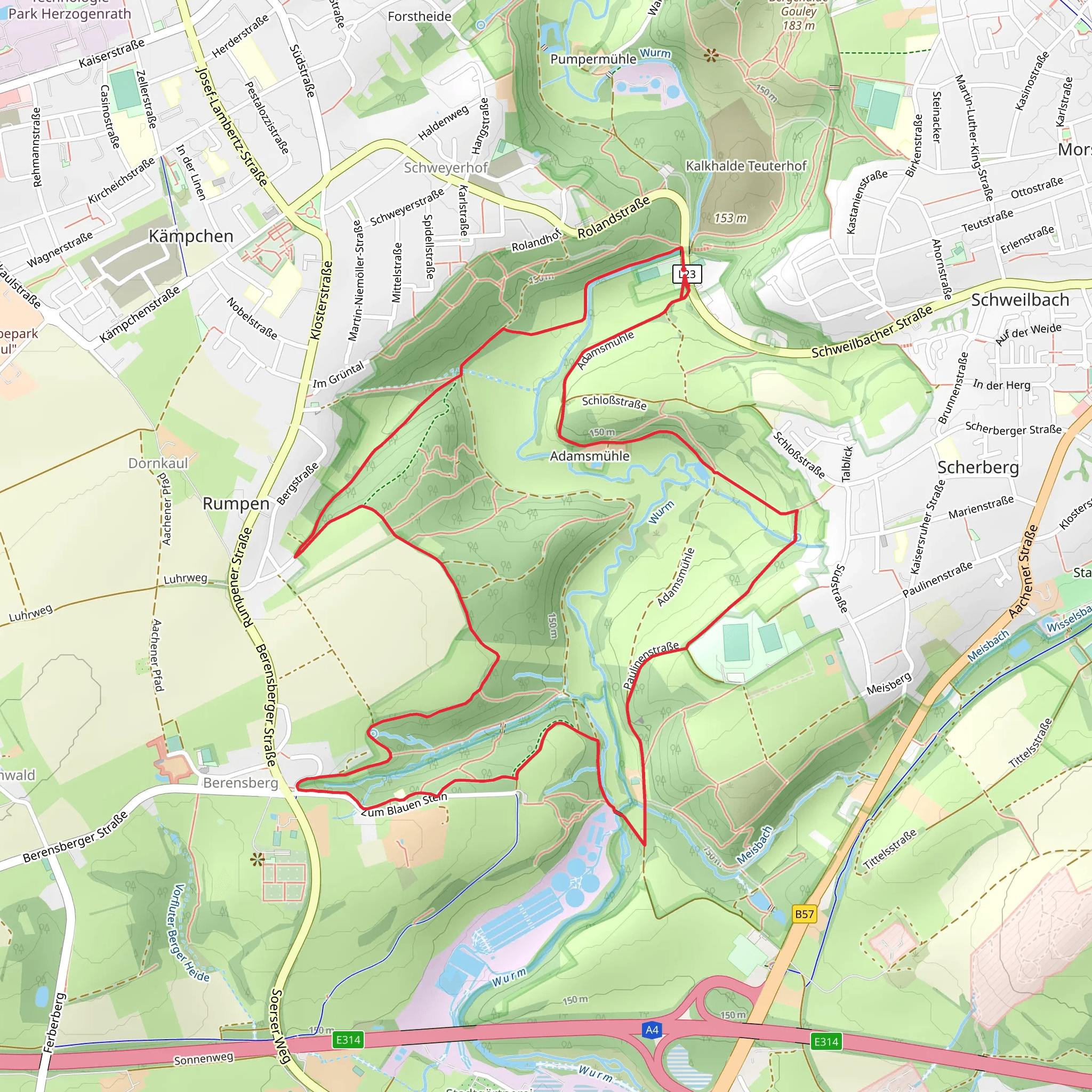
Starting near Städteregion Aachen, Germany, the Weisser Weg and Würselen Loop is a delightful 7 km (approximately 4.3 miles) trail with an elevation gain of around 100 meters (328 feet). This loop trail is estimated to be of medium difficulty, making it suitable for moderately experienced hikers.
Getting There
To reach the trailhead, you can either drive or use public transport. If driving, set your GPS to the nearest known address: Rathausplatz, 52146 Würselen, Germany. For those using public transport, take a train to Aachen Hauptbahnhof and then a bus to Würselen Rathaus. From there, it's a short walk to the trailhead.
Trail Overview
The trail begins near the Rathausplatz in Würselen, a charming town with a rich history dating back to the Roman era. As you start your hike, you'll be greeted by a mix of urban and natural landscapes. The initial part of the trail is relatively flat, making it a good warm-up for the more undulating sections ahead.
Key Landmarks and Sections
Würselen Forest
About 1.5 km (0.9 miles) into the hike, you'll enter the Würselen Forest. This section is particularly scenic, with dense foliage and a variety of native trees such as oak and beech. Keep an eye out for local wildlife, including deer and various bird species. The forest provides a serene atmosphere, perfect for those looking to escape the hustle and bustle of city life.
Historical Significance
Around the 3 km (1.8 miles) mark, you'll come across remnants of old Roman roads and possibly some ancient ruins. This area is historically significant, as it was once a part of the Roman Empire's extensive network of roads. Take a moment to appreciate the history underfoot and imagine the countless travelers who have walked these paths before you.
Elevation Gain
As you approach the 4 km (2.5 miles) point, the trail begins to ascend. The elevation gain here is gradual but noticeable, rising about 50 meters (164 feet) over the next kilometer. This section offers panoramic views of the surrounding countryside, making the climb well worth the effort.
Navigation and Safety
Given the trail's moderate difficulty, it's advisable to use a reliable navigation tool like HiiKER to stay on track. The trail is well-marked, but having a digital map can provide extra assurance. Wear sturdy hiking boots, as some sections can be uneven and slippery, especially after rain.
Final Stretch
The last 2 km (1.2 miles) of the trail loop back towards Würselen. This section is relatively flat and offers a mix of open fields and small wooded areas. It's a great opportunity to cool down and reflect on the hike as you make your way back to the starting point.
Flora and Fauna
Throughout the hike, you'll encounter a variety of flora, including wildflowers and shrubs, especially in the open field sections. The diverse ecosystem supports a range of wildlife, so keep your camera ready for unexpected encounters.
This trail offers a balanced mix of natural beauty, historical intrigue, and moderate physical challenge, making it a rewarding experience for those who undertake it.
What to expect?
Activity types
Comments and Reviews
User comments, reviews and discussions about the Weisser Weg and Würselen Loop, Germany.
5.0
average rating out of 5
1 rating(s)
