Download
3D Flyover
Add to list
More
4.7 km
~1 hrs 16 min
204 m
Loop
“Explore the scenic and historic Katzensteinerweg Loop—perfect for moderately experienced hikers.”
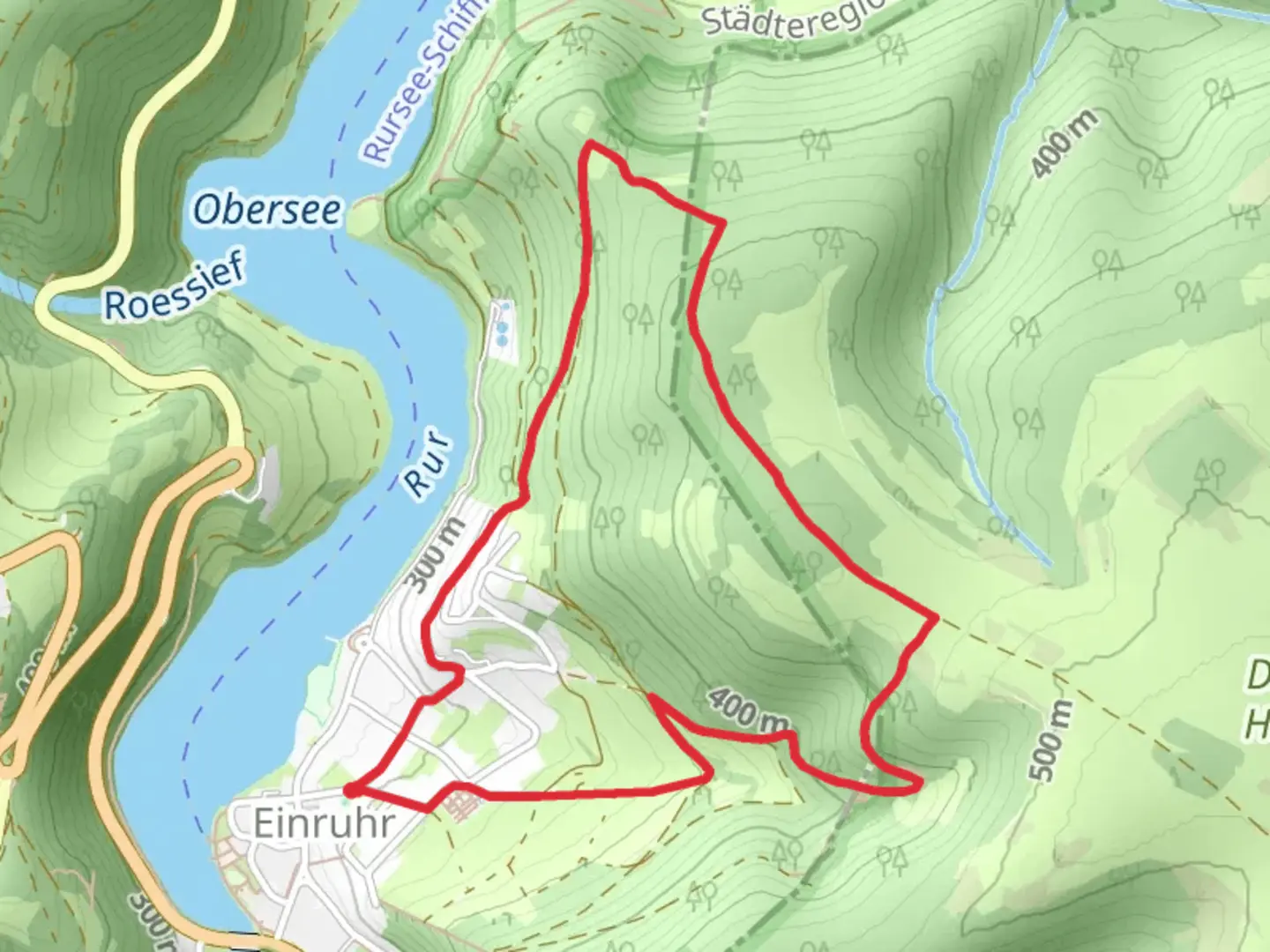
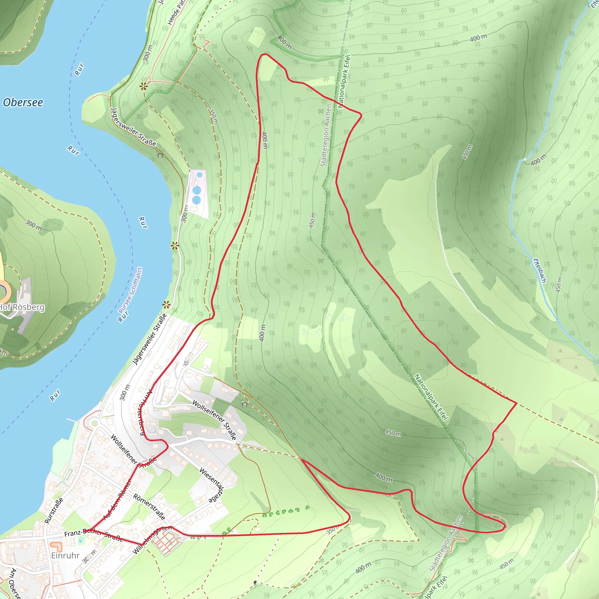
Starting near the Städteregion Aachen in Germany, this 5 km (approximately 3.1 miles) loop trail offers a delightful mix of natural beauty and historical intrigue. With an elevation gain of around 200 meters (656 feet), the Katzensteinerweg Loop is rated as a medium difficulty hike, making it suitable for moderately experienced hikers.
Getting There
To reach the trailhead, you can either drive or use public transport. If driving, set your GPS to the nearest known address: Kornelimünsterweg, 52076 Aachen, Germany. For those using public transport, take a train or bus to Aachen Hauptbahnhof (Aachen Central Station). From there, you can catch a local bus to Kornelimünster, which is a short walk from the trailhead.
Trail Overview
The trail begins with a gentle ascent through a lush forest, where you'll be surrounded by towering trees and the sounds of local wildlife. Early on, you'll encounter a small stream that runs parallel to the path, providing a serene backdrop as you start your hike.
Key Landmarks and Points of Interest
Kornelimünster Abbey: At approximately 1 km (0.6 miles) into the hike, you'll come across the historic Kornelimünster Abbey. Founded in the 9th century, this Benedictine monastery is a significant landmark with its impressive architecture and tranquil gardens. Take a moment to explore the grounds and perhaps snap a few photos.
Katzenstein Rock Formation: Around the 2.5 km (1.55 miles) mark, you'll reach the Katzenstein rock formation. This natural feature offers a great spot for a short break and some scenic views. The rocks are a popular spot for local climbers, so you might see some in action.
Flora and Fauna
The trail is rich in biodiversity. Keep an eye out for native bird species such as the European robin and the great tit. The forest floor is often carpeted with wildflowers in the spring, including bluebells and wood anemones. If you're lucky, you might even spot a red fox or a roe deer.
Navigation and Safety
The trail is well-marked, but it's always a good idea to have a reliable navigation tool. HiiKER is an excellent app for this purpose, providing detailed maps and real-time location tracking. Make sure to wear sturdy hiking boots, as some sections can be rocky and uneven.
Final Stretch
As you loop back towards the starting point, the trail descends gently, offering panoramic views of the surrounding countryside. The final kilometer (0.6 miles) takes you through open meadows, where you can enjoy the sight of grazing sheep and the distant outline of Aachen's skyline.
This hike is a perfect blend of natural beauty and historical significance, making it a rewarding experience for anyone looking to explore the region.
What to expect?
Activity types
Comments and Reviews
User comments, reviews and discussions about the Katzensteinerweg Loop, Germany.
4.67
average rating out of 5
6 rating(s)
