Download
3D Flyover
Add to list
More
11.8 km
~2 hrs 40 min
185 m
Loop
“Discover a blend of scenic beauty and history on this 12 km loop near Schmalkalden-Meiningen.”
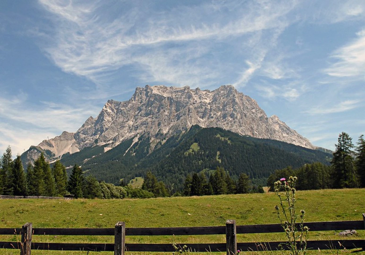
Starting near the charming town of Schmalkalden-Meiningen in Germany, this 12 km (7.5 miles) loop trail offers a delightful mix of natural beauty and historical intrigue. With an elevation gain of around 100 meters (328 feet), it is rated as a medium difficulty hike, making it accessible for most hikers with a moderate level of fitness.
Getting There
To reach the trailhead, you can either drive or use public transport. If driving, head towards Schmalkalden-Meiningen and look for parking options near the town center. For those using public transport, the nearest significant landmark is the Schmalkalden train station. From there, local buses or a short taxi ride can take you to the trailhead.
Trail Highlights
Steinbach Hallenberg
Starting from the trailhead, the first section takes you through the picturesque area of Steinbach Hallenberg. This part of the trail is relatively flat and easy, allowing you to warm up as you take in the serene surroundings. The lush greenery and occasional wildlife sightings, such as deer and various bird species, make this section particularly enjoyable.
Hergeser Berg
As you continue, the trail begins to ascend towards Hergeser Berg. This is where you will encounter the most significant elevation gain of the hike. The climb is steady but manageable, and the effort is rewarded with stunning panoramic views of the surrounding Thuringian Forest. At approximately 5 km (3.1 miles) into the hike, you'll reach the summit, which is an excellent spot for a short break and some photography.
Breiter Berg
Descending from Hergeser Berg, the trail leads you to Breiter Berg. This section is characterized by its wide, open landscapes and rolling hills. The terrain here is more varied, with a mix of forested areas and open meadows. Keep an eye out for local flora, including wildflowers and various types of ferns, which are particularly abundant in this region.
Hergeser Teich
The final significant landmark on the loop is Hergeser Teich, a tranquil pond that offers a peaceful setting for a rest. This area is rich in birdlife, so bring your binoculars if you're a birdwatching enthusiast. The pond is also a great spot for a picnic, with several benches and shaded areas available.
Historical Significance
The region around Schmalkalden-Meiningen is steeped in history. The town itself dates back to the medieval period and was an important center during the Reformation. As you hike, you'll come across several historical markers and information boards that provide insights into the area's past. Notably, the trail passes near old mining sites, remnants of the region's industrial heritage.
Navigation and Safety
For navigation, it is highly recommended to use the HiiKER app, which provides detailed maps and real-time updates. The trail is well-marked, but having a reliable navigation tool ensures you stay on track and can fully enjoy the hike without any worries.
Final Stretch
The loop concludes as you make your way back towards the starting point near Schmalkalden-Meiningen. The final stretch is relatively flat and easy, allowing you to cool down and reflect on the diverse landscapes and historical richness you've experienced throughout the hike.

What to expect?
Activity types
Comments and Reviews
User comments, reviews and discussions about the Steinbach Hallenberg, Hergeser Berg, Breiter Berg and Hergeser Teich Loop, Germany.
4.0
average rating out of 5
1 rating(s)