Download
3D Flyover
Add to list
More
9.8 km
~2 hrs 13 min
160 m
Loop
“Explore lush forests, historical ruins, and panoramic views on the Moorlehrpfad via Grosse Runde trail.”
Starting near the picturesque town of Schmalkalden-Meiningen in Germany, the Moorlehrpfad via Grosse Runde is a delightful 10 km (6.2 miles) loop trail with an elevation gain of approximately 100 meters (328 feet). This trail offers a medium difficulty rating, making it accessible to most hikers with a moderate level of fitness.
Getting There
To reach the trailhead, you can either drive or use public transport. If you're driving, head towards Schmalkalden-Meiningen and look for parking near the town center. For those using public transport, take a train to the Schmalkalden-Meiningen station. From there, local buses or a short taxi ride can get you to the trailhead.
Trail Highlights
The trail begins near the town center, quickly immersing you in the serene beauty of the Thuringian Forest. As you start your hike, you'll notice the lush greenery and the well-maintained path that guides you through a variety of landscapes.
Flora and Fauna
One of the most captivating aspects of this trail is the diverse flora and fauna. You'll encounter dense forests filled with towering beech and spruce trees. Keep an eye out for local wildlife, including deer, foxes, and a variety of bird species. The trail is particularly beautiful in spring and autumn when the foliage is either budding or changing colors.
Historical Significance
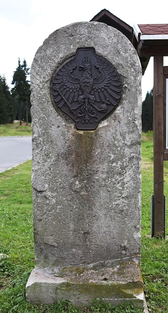
The region around Schmalkalden-Meiningen is steeped in history. As you hike, you'll come across several informational plaques detailing the area's past. Notably, the trail passes near the ruins of medieval fortifications and old mining sites, offering a glimpse into the region's historical significance. These sites are well-marked and provide an excellent opportunity for a brief rest and some educational enrichment.
Navigation and Waypoints
The trail is well-marked, but it's always a good idea to have a reliable navigation tool. HiiKER is an excellent app for this purpose, providing detailed maps and real-time tracking to ensure you stay on course. Key waypoints include:
- 0 km (0 miles): Trailhead near Schmalkalden-Meiningen town center.
- 2 km (1.2 miles): First viewpoint offering panoramic views of the Thuringian Forest.
- 5 km (3.1 miles): Midpoint near the historical ruins, a perfect spot for a picnic.
- 8 km (5 miles): Dense forest section, rich in wildlife.
- 10 km (6.2 miles): Return to the trailhead.
Elevation Profile
The elevation gain is gradual, making the trail manageable for most hikers. The highest point is around 100 meters (328 feet) above the starting elevation, providing some gentle climbs and descents that add to the trail's charm without being overly strenuous.
Practical Tips
- Footwear: Sturdy hiking boots are recommended due to occasional uneven terrain.
- Weather: Check the weather forecast before heading out, as the trail can become slippery in wet conditions.
- Supplies: Bring enough water and snacks, especially if you plan to take your time exploring the historical sites and enjoying the natural beauty.
This trail offers a perfect blend of natural beauty, historical intrigue, and moderate physical challenge, making it a rewarding experience for any hiker.

What to expect?
Activity types
Comments and Reviews
User comments, reviews and discussions about the Moorlehrpfad via Grosse Runde, Germany.
4.5
average rating out of 5
6 rating(s)