Download
3D Flyover
Add to list
More
8.4 km
~1 hrs 59 min
193 m
Loop
“Explore the Engelgrundweiher via Hüttersdorfer Rundweg, an 8 km trail rich in nature and history.”
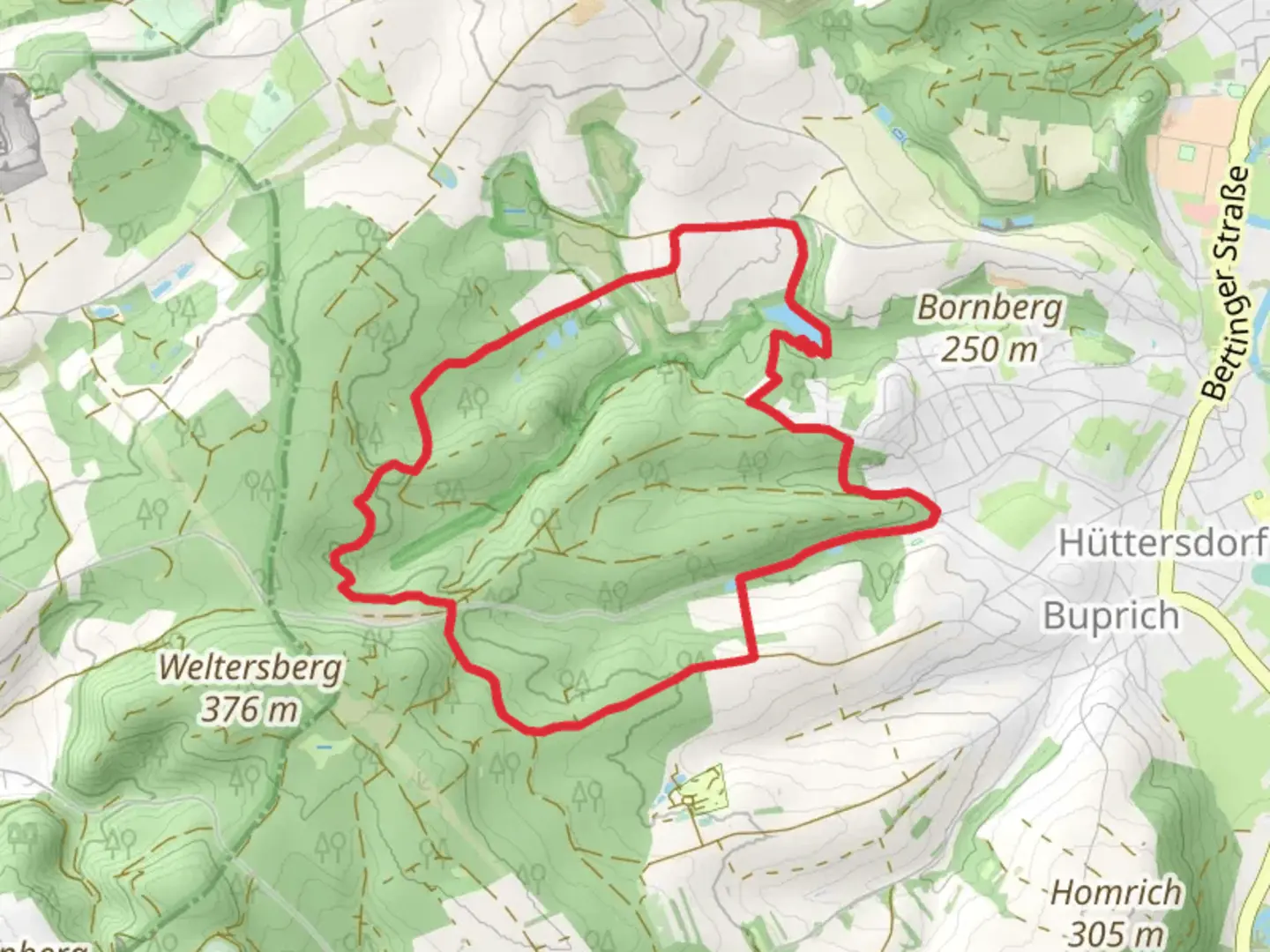
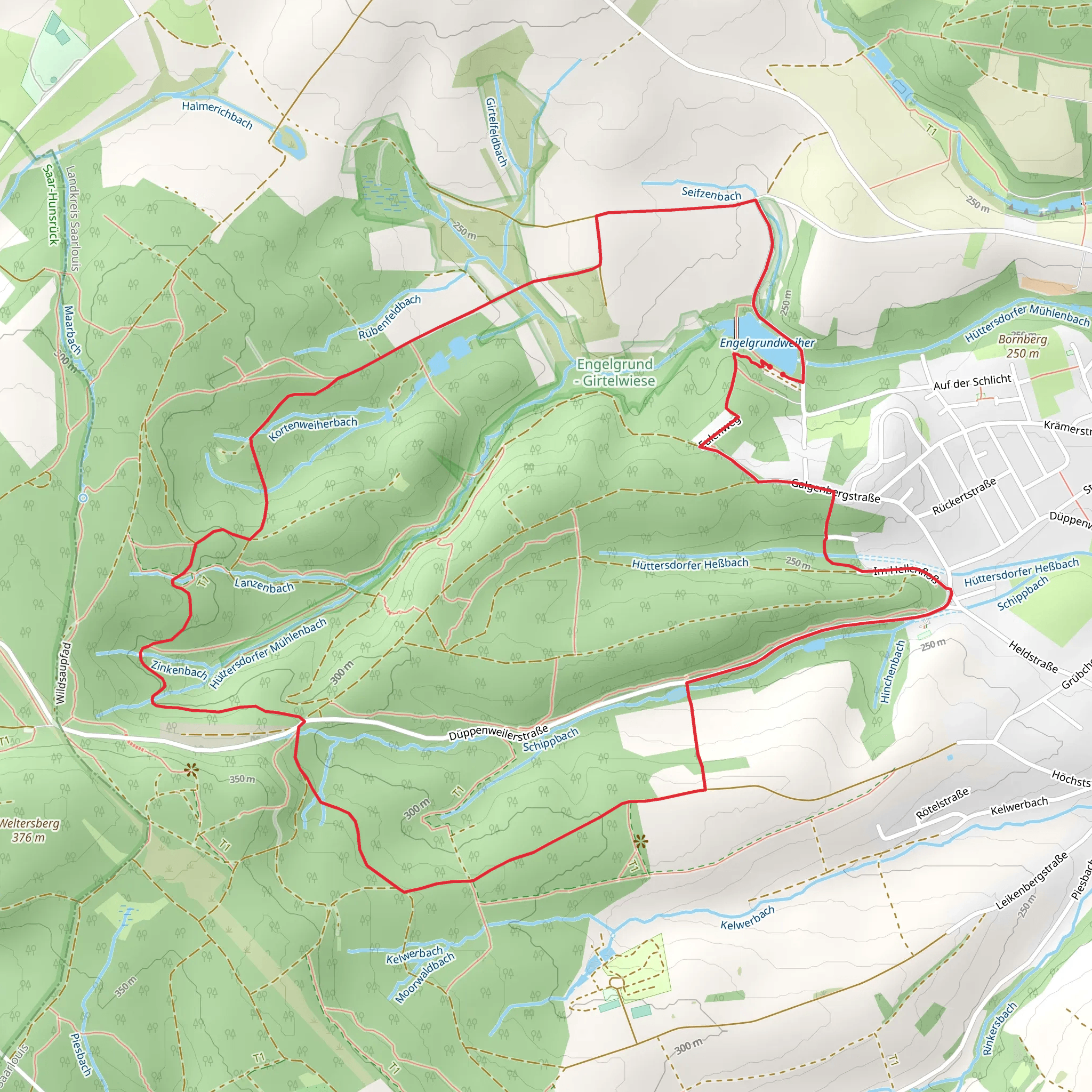
Starting near Saarlouis, Germany, the Engelgrundweiher via Hüttersdorfer Rundweg is an 8 km (approximately 5 miles) loop trail with an elevation gain of around 100 meters (328 feet). This medium-difficulty trail offers a delightful mix of natural beauty, historical landmarks, and serene landscapes, making it a rewarding experience for hikers of all levels.
Getting There
To reach the trailhead, you can either drive or use public transport. If driving, set your GPS to Saarlouis, and look for parking near the Hüttersdorfer Rundweg. For those using public transport, take a train to Saarlouis Hauptbahnhof. From there, local buses can take you closer to the trailhead; check the latest schedules for the most convenient route.
Trail Navigation
For navigation, the HiiKER app is highly recommended. It provides detailed maps and real-time updates to ensure you stay on track throughout your hike.
Trail Highlights
Engelgrundweiher Lake
One of the first significant landmarks you'll encounter is the Engelgrundweiher Lake. This picturesque body of water is surrounded by lush greenery and offers a peaceful spot to take a break. The lake is home to various bird species, so keep your binoculars handy for some birdwatching.
Forested Sections
As you continue, the trail meanders through dense forests, offering a canopy of trees that provide shade and a cool atmosphere. The forest floor is often carpeted with wildflowers in the spring and summer, adding a splash of color to your hike.
Historical Significance
The region around Saarlouis has a rich history, and you'll come across several historical markers along the trail. Saarlouis itself was founded by Louis XIV of France in the 17th century and has a strong military history. Keep an eye out for old fortifications and plaques that provide insights into the area's past.
Wildlife and Flora
The trail is a haven for nature enthusiasts. You might spot deer, foxes, and a variety of bird species. The flora is equally diverse, with oak, beech, and pine trees dominating the landscape. In the spring, the trail is adorned with blooming wildflowers, making it a particularly beautiful time to visit.
Elevation and Terrain
The trail features a moderate elevation gain of around 100 meters (328 feet), spread out over the 8 km (5 miles). The terrain is varied, with some sections being relatively flat while others have gentle inclines. Good hiking boots are recommended, especially after rain when the path can become slippery.
Practical Tips
- Water and Snacks: There are no facilities along the trail, so bring enough water and snacks to keep you energized.
- Weather: Check the weather forecast before you go. The trail can be muddy after rain, and some sections may be more challenging in wet conditions.
- Clothing: Dress in layers, as the forested sections can be cooler than the open areas.
Final Stretch
As you near the end of the loop, you'll return to the starting point near Saarlouis. This final section offers a gentle descent, allowing you to cool down and reflect on the beautiful landscapes and historical landmarks you've encountered.
This trail offers a perfect blend of natural beauty, historical intrigue, and moderate physical challenge, making it a must-visit for any hiking enthusiast.
Comments and Reviews
User comments, reviews and discussions about the Engelgrundweiher via Hüttersdorfer Rundweg, Germany.
4.14
average rating out of 5
7 rating(s)
