Download
3D Flyover
Add to list
More
8.0 km
~1 hrs 47 min
114 m
Loop
“Explore Roth's 8 km loop trail, blending natural beauty, historical landmarks, and moderate hiking challenges.”
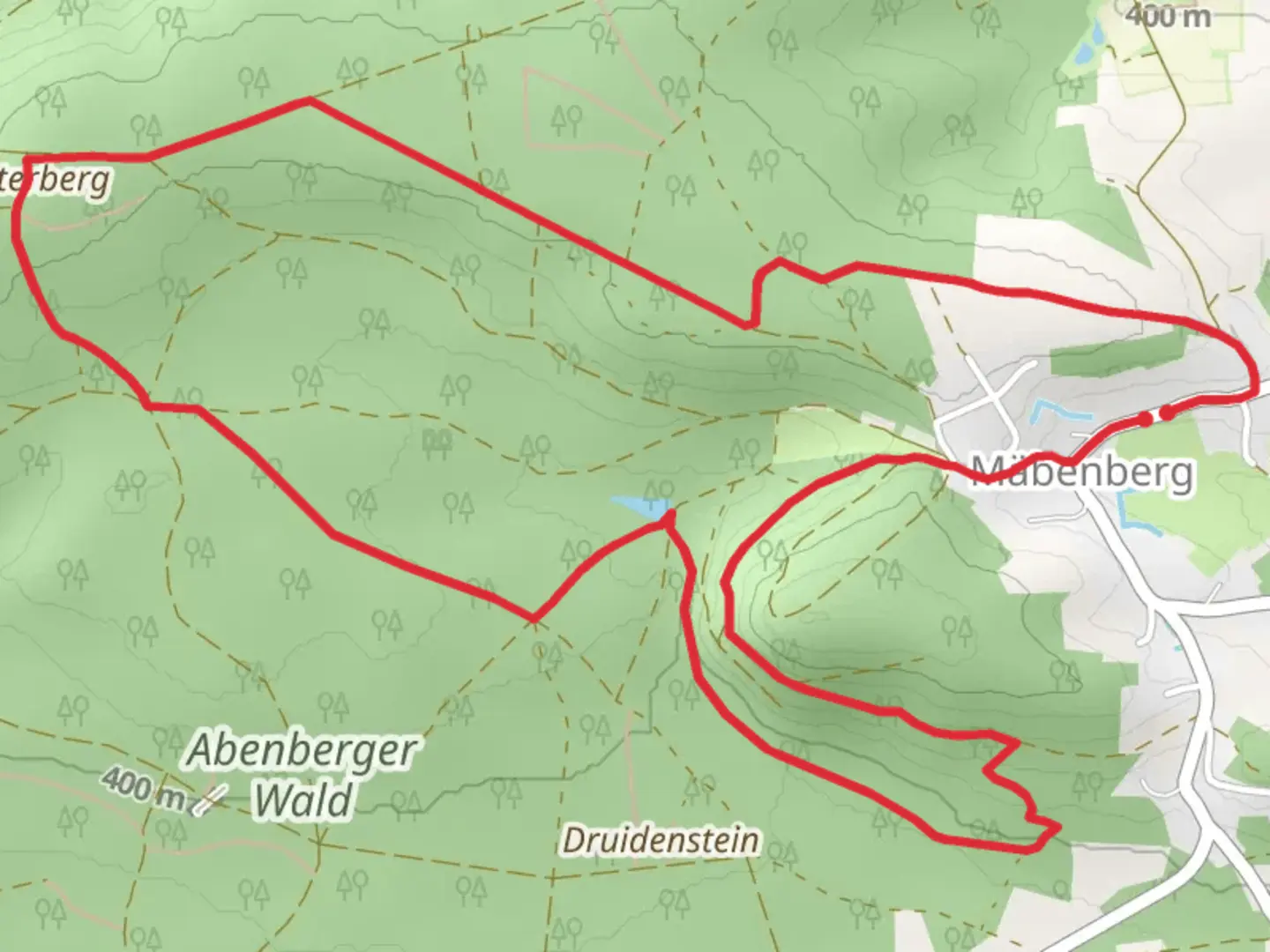
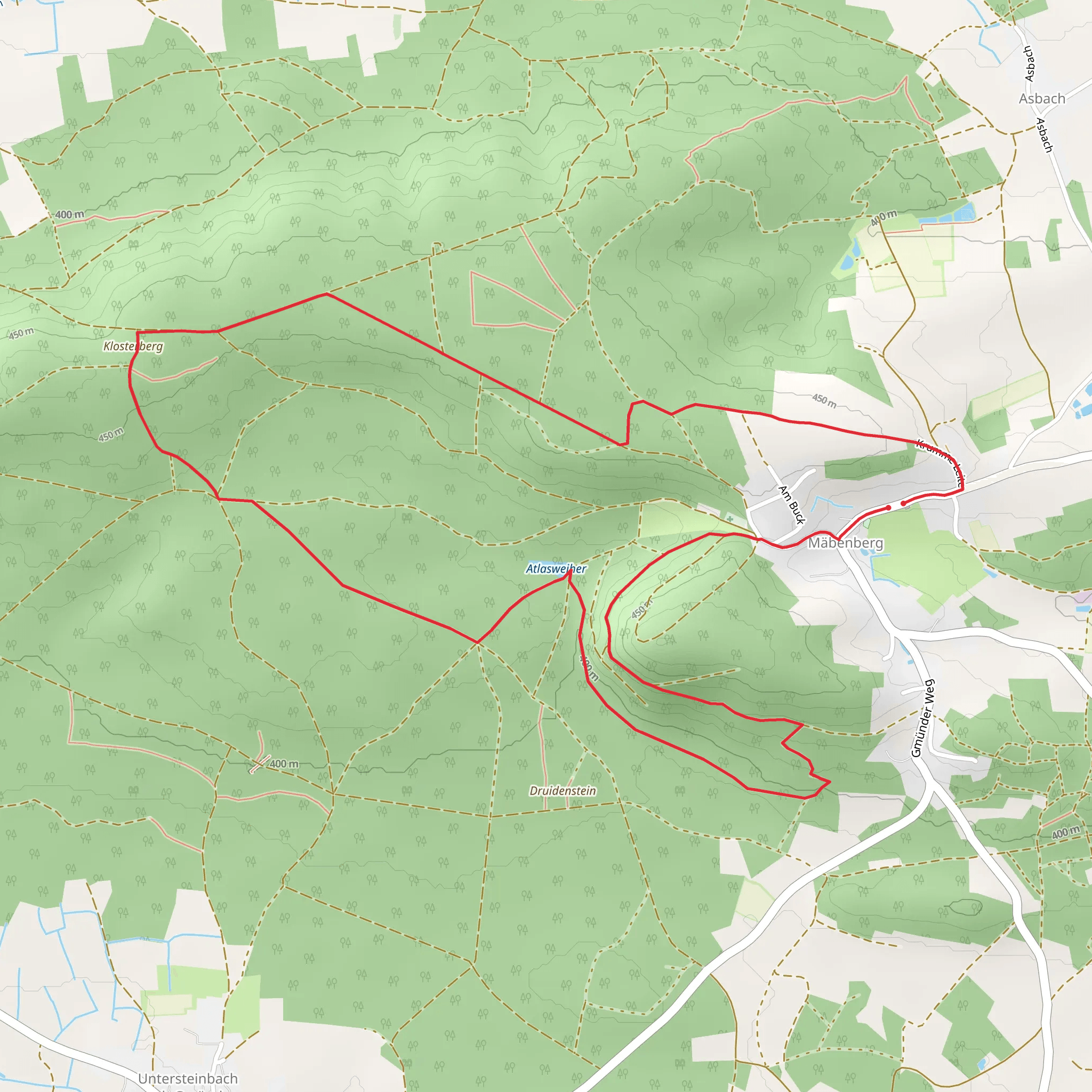
Starting near the charming town of Roth, Germany, the Atlasweiher via Rundwanderweg Abenberg is an 8 km (approximately 5 miles) loop trail that offers a delightful mix of natural beauty and historical intrigue. With an elevation gain of around 100 meters (328 feet), this trail is rated as medium difficulty, making it suitable for moderately experienced hikers.
Getting There
To reach the trailhead, you can either drive or use public transport. If you're driving, set your GPS to Roth, Germany, and look for parking near the town center. For those using public transport, take a train to Roth station and then a local bus or taxi to the trailhead. The nearest significant landmark to the trailhead is the Roth Castle, a picturesque site that adds a touch of historical charm to your starting point.
Trail Navigation
For navigation, it's highly recommended to use the HiiKER app, which provides detailed maps and real-time updates to ensure you stay on the right path.
Trail Highlights
Atlasweiher Lake
One of the first significant landmarks you'll encounter is the Atlasweiher Lake, located about 2 km (1.2 miles) into the hike. This serene body of water is perfect for a short break, offering picturesque views and a chance to spot local wildlife such as ducks and swans.
Abenberg Castle
Approximately 4 km (2.5 miles) into the trail, you'll come across Abenberg Castle, a medieval fortress that dates back to the 11th century. The castle is perched on a hill, providing panoramic views of the surrounding countryside. It's worth taking some time to explore the castle grounds and perhaps even visit the museum inside, which offers insights into the region's rich history.
Flora and Fauna
The trail winds through a variety of landscapes, including dense forests, open meadows, and small streams. Keep an eye out for native flora such as oak and beech trees, as well as wildflowers that bloom in the spring and summer months. Wildlife enthusiasts might spot deer, foxes, and a variety of bird species, making this trail a delight for nature lovers.
Elevation and Terrain
The trail features a moderate elevation gain of around 100 meters (328 feet), with a few steep sections that require careful footing. The terrain is a mix of well-maintained paths, forest trails, and occasional rocky patches. Good hiking boots are recommended to navigate these varied surfaces comfortably.
Historical Significance
The region around Roth and Abenberg is steeped in history. Abenberg Castle, in particular, has played a significant role in the area's medieval past. The castle was a strategic fortification and has been well-preserved, offering a glimpse into the architectural styles and defensive mechanisms of the time.
Practical Tips
- Water and Snacks: There are limited facilities along the trail, so bring enough water and snacks to keep you energized.
- Weather: Check the weather forecast before you go, as the trail can become slippery in wet conditions.
- Clothing: Dress in layers, as the weather can change rapidly, especially in the forested sections.
This 8 km loop trail offers a perfect blend of natural beauty, historical landmarks, and moderate physical challenge, making it an ideal day hike for those looking to explore the scenic and historical richness of the Roth and Abenberg region.
Comments and Reviews
User comments, reviews and discussions about the Atlasweiher via Rundwanderweg Abenberg, Germany.
average rating out of 5
0 rating(s)
