Download
Preview
Add to list
More
10.0 km
~2 hrs 19 min
198 m
Loop
“Explore the 10 km Ortesweg and Rhoen Rundweg for natural beauty, historical landmarks, and rich biodiversity.”
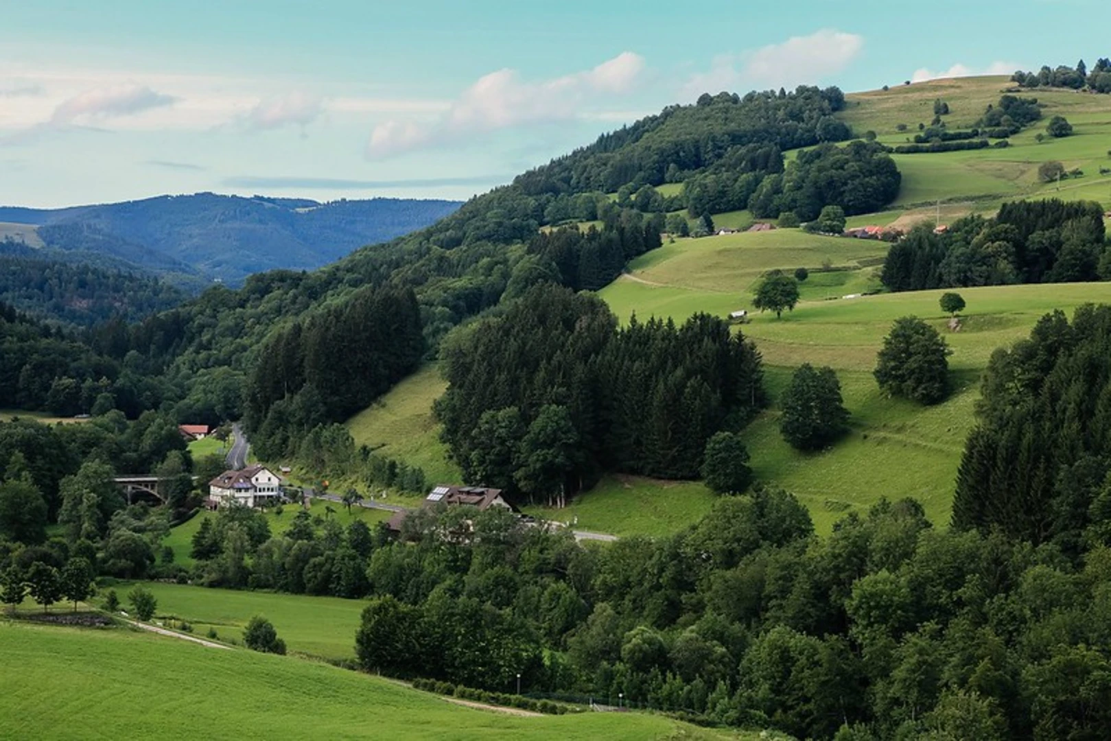
Starting near Rhön-Grabfeld, Germany, the Ortesweg and Rhoen Rundweg is a delightful 10 km (6.2 miles) loop trail with an elevation gain of approximately 100 meters (328 feet). This medium-difficulty trail offers a blend of natural beauty and historical significance, making it a rewarding experience for hikers of all levels.
Getting There
To reach the trailhead, you can drive to Rhön-Grabfeld, where parking is available near the starting point. If you prefer public transport, take a train to Bad Neustadt (Saale) and then a local bus to Rhön-Grabfeld. The nearest significant landmark to the trailhead is the town center of Rhön-Grabfeld, which is well-signposted and easy to locate.
Trail Navigation
For navigation, it's highly recommended to use the HiiKER app, which provides detailed maps and real-time updates to ensure you stay on track throughout your hike.
Trail Highlights
As you embark on the Ortesweg and Rhoen Rundweg, you'll traverse a variety of landscapes, including dense forests, open meadows, and rolling hills. The trail is well-marked, but keep an eye out for the distinctive trail markers to stay on course.
Flora and Fauna
The Rhön region is known for its rich biodiversity. As you hike, you'll encounter a variety of plant species, including beech and oak trees, wildflowers, and ferns. Wildlife is abundant, with chances to spot deer, foxes, and a variety of bird species. Keep your camera ready for some excellent wildlife photography opportunities.
Historical Significance
The Rhön region has a deep historical background. During your hike, you'll come across several historical landmarks, including ancient boundary stones and remnants of old settlements. These markers offer a glimpse into the region's past, dating back to medieval times. Make sure to take a moment to appreciate these historical artifacts and consider the lives of those who once inhabited this area.
Key Landmarks
- Kreuzberg Monastery: Approximately 4 km (2.5 miles) into the hike, you'll find the Kreuzberg Monastery, a significant religious site with a history dating back to the 17th century. The monastery is known for its beautiful architecture and serene surroundings.
- Black Moor: Around the 7 km (4.3 miles) mark, you'll encounter the Black Moor, one of the largest raised bogs in Central Europe. This unique natural feature is home to a variety of rare plant and animal species and offers a stark contrast to the surrounding forested areas.
Elevation and Terrain
The trail features a gentle elevation gain of about 100 meters (328 feet), making it accessible for most hikers. The terrain varies from well-maintained paths to more rugged sections, so sturdy hiking boots are recommended. Some parts of the trail can be muddy, especially after rain, so be prepared for changing conditions.
Safety and Preparation
Given the moderate difficulty of the trail, it's essential to come prepared. Bring plenty of water, snacks, and a first-aid kit. Weather in the Rhön region can be unpredictable, so dress in layers and carry a rain jacket. Mobile reception can be spotty in some areas, making the HiiKER app an invaluable tool for navigation and safety.
Final Stretch
As you near the end of the loop, the trail will bring you back to Rhön-Grabfeld, where you can relax and reflect on your journey. The town offers several quaint cafes and restaurants where you can enjoy a well-deserved meal and perhaps a local beer.
This 10 km (6.2 miles) loop trail offers a perfect blend of natural beauty, historical intrigue, and moderate physical challenge, making it an ideal choice for a day hike in the Rhön region.

Comments and Reviews
User comments, reviews and discussions about the Ortesweg and Rhoen Rundweg, Germany.
average rating out of 5
0 rating(s)