Download
3D Flyover
Add to list
More
9.8 km
~2 hrs 45 min
472 m
Loop
“Embark on a scenic 10 km hike through forests, meadows, and historic ruins in Rhein-Neckar-Kreis.”
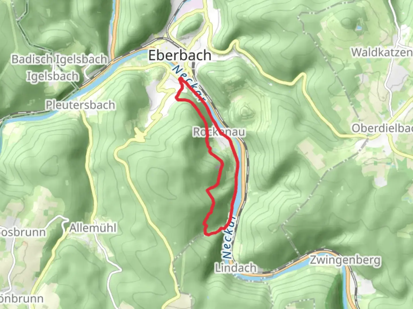
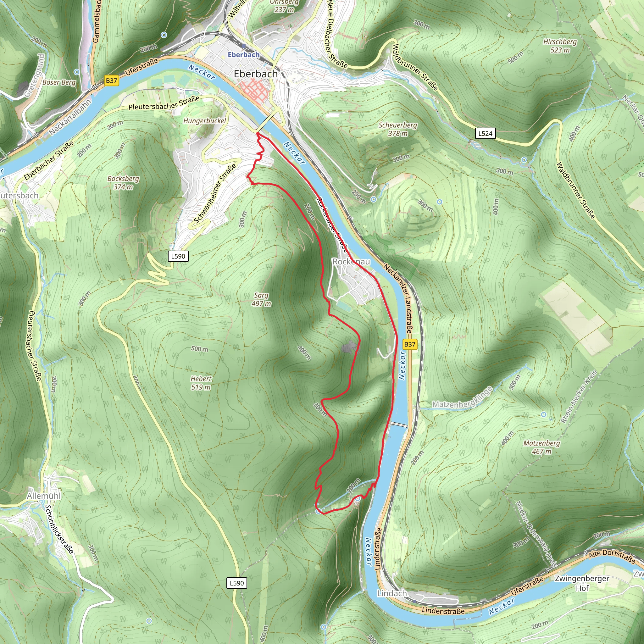
Starting near the picturesque region of Rhein-Neckar-Kreis in Germany, this loop trail spans approximately 10 km (6.2 miles) with an elevation gain of around 400 meters (1,312 feet). The trailhead is conveniently accessible by both public transport and car. If you're traveling by train, the nearest station is Neckargemünd, from where you can take a short bus ride or taxi to the trailhead. For those driving, there are parking facilities available near the starting point.
Trail Overview
The Neckarsteig and Linker Neckarrandweg trail offers a delightful mix of natural beauty and historical significance. As you embark on this medium-difficulty hike, you'll traverse through dense forests, open meadows, and along the scenic Neckar River. The trail is well-marked, but it's always a good idea to have a reliable navigation tool like HiiKER to ensure you stay on track.
Key Landmarks and Points of Interest
Dilsberg Castle Ruins
Approximately 3 km (1.9 miles) into the hike, you'll come across the ruins of Dilsberg Castle. This medieval fortress, perched atop a hill, offers panoramic views of the Neckar Valley. The castle dates back to the 12th century and has a rich history, having been a strategic military site during various conflicts.
Neckar River Views
As you continue along the trail, you'll be treated to stunning views of the Neckar River. The riverbanks are home to a variety of flora and fauna, including wildflowers, deer, and numerous bird species. This section of the trail is relatively flat, making it a great spot to take a break and enjoy the scenery.
Flora and Fauna
The trail winds through a diverse range of ecosystems. In the forested sections, you'll find towering beech and oak trees, while the meadows are dotted with wildflowers such as daisies and buttercups. Wildlife enthusiasts might spot deer, foxes, and a variety of bird species, including woodpeckers and hawks.
Historical Significance
The region around Rhein-Neckar-Kreis is steeped in history. The Neckarsteig trail itself follows ancient trade routes that have been used for centuries. The Dilsberg Castle ruins are a testament to the area's medieval past, offering a glimpse into the lives of those who lived and fought in this strategic location.
Elevation and Terrain
The trail features a mix of ascents and descents, with the most significant climb being the approach to Dilsberg Castle, which involves an elevation gain of about 200 meters (656 feet) over 2 km (1.2 miles). The terrain varies from well-maintained paths to rocky sections, so sturdy hiking boots are recommended.
Getting There
To reach the trailhead, you can take a train to Neckargemünd station, which is well-connected to major cities like Heidelberg and Mannheim. From the station, a short bus ride or taxi will bring you to the starting point. If you're driving, follow the signs to Rhein-Neckar-Kreis and look for parking facilities near the trailhead.
Navigation
While the trail is well-marked, it's advisable to use a navigation tool like HiiKER to ensure you stay on the correct path. The app provides detailed maps and real-time updates, making it easier to navigate the various sections of the trail.
This hike offers a perfect blend of natural beauty, historical landmarks, and moderate physical challenge, making it an ideal choice for hikers looking to explore the scenic and historical richness of the Rhein-Neckar-Kreis region.
Comments and Reviews
User comments, reviews and discussions about the Neckarsteig and Linker Neckarrandweg, Germany.
4.5
average rating out of 5
2 rating(s)
