Download
3D Flyover
Add to list
More
8.8 km
~2 hrs
152 m
Loop
“Explore Rhein-Neckar-Kreis's scenic 9 km loop trail blending natural beauty, Roman history, and moderate hiking.”
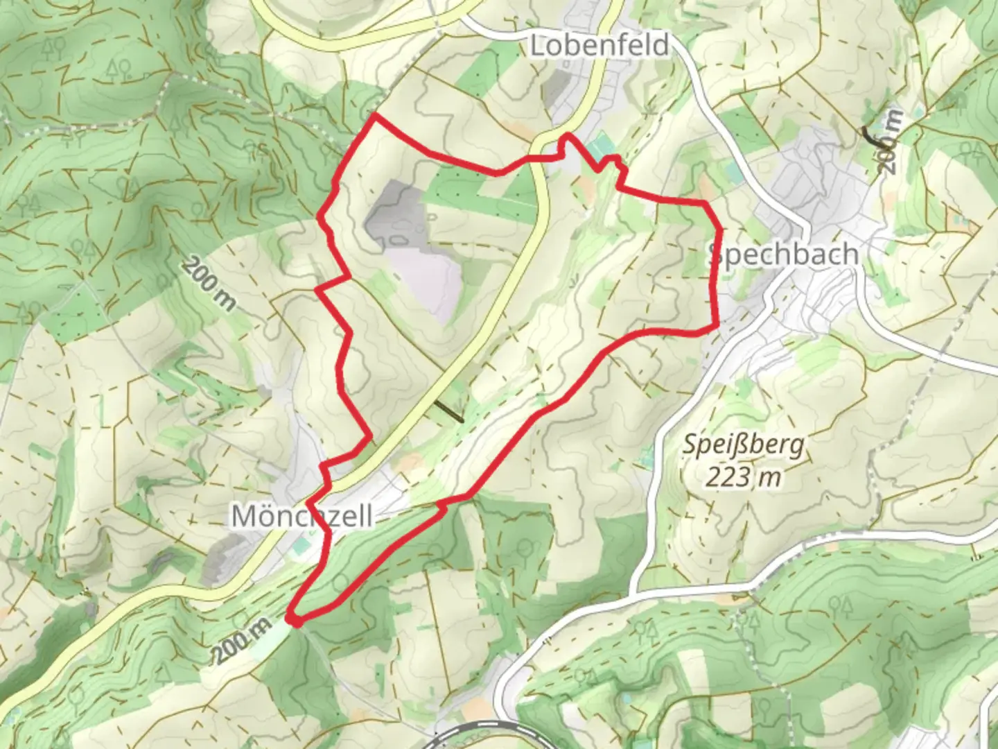
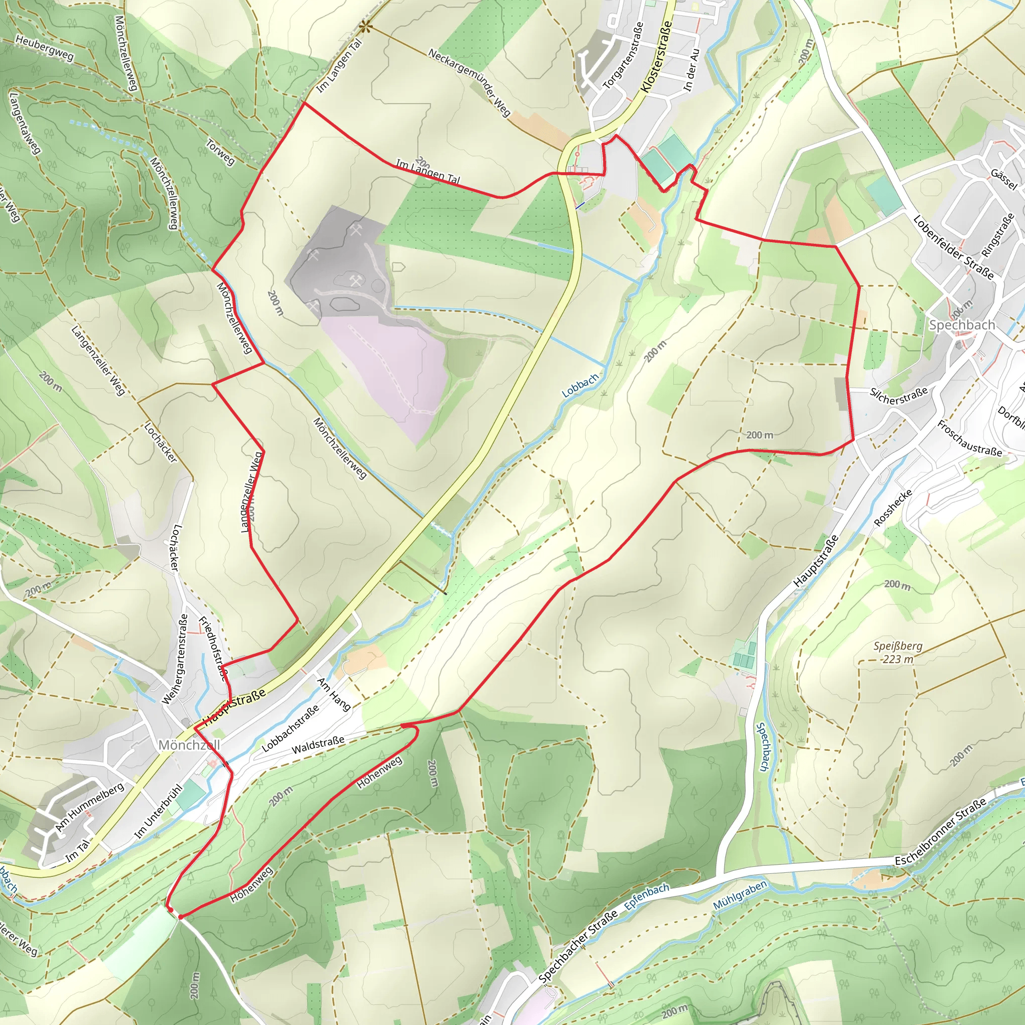
Starting near the picturesque region of Rhein-Neckar-Kreis in Germany, this 9 km (approximately 5.6 miles) loop trail offers a delightful mix of natural beauty and historical intrigue. With an elevation gain of around 100 meters (328 feet), the trail is rated as medium difficulty, making it suitable for moderately experienced hikers.
Getting There
To reach the trailhead, you can either drive or use public transport. If driving, set your GPS to the nearest known address: the town of Wiesloch, which is well-connected by road. For those using public transport, Wiesloch-Walldorf station is the closest major railway station. From there, local buses can take you to the trailhead area.
Trail Overview
The trail begins near Wiesloch and quickly immerses you in the serene landscapes of the Rhein-Neckar-Kreis region. The loop format ensures that you return to your starting point, making logistics simpler.
Key Landmarks and Points of Interest
Stromberg Hill: One of the first significant landmarks you'll encounter is Stromberg Hill. The ascent is gentle, and the views from the top are worth the effort. You can see expansive vistas of the surrounding countryside, dotted with vineyards and small villages.
Historical Significance: The region has a rich history dating back to Roman times. As you hike, you'll come across remnants of ancient Roman roads and possibly even some ruins. Keep an eye out for informational plaques that provide context and historical background.
Flora and Fauna: The trail meanders through mixed forests and open meadows, offering a diverse range of plant life. Depending on the season, you might see wildflowers, mushrooms, and various types of trees. Wildlife is abundant, with deer, foxes, and a variety of bird species frequently spotted.
Navigation and Safety
Using HiiKER for navigation is highly recommended. The app provides detailed maps and real-time updates, ensuring you stay on track. The trail is well-marked, but having a reliable navigation tool adds an extra layer of security.
Elevation and Terrain
The total elevation gain is around 100 meters (328 feet), spread out over the 9 km (5.6 miles) distance. The terrain is varied but generally well-maintained. Expect some rocky sections and occasional steep inclines, but nothing too strenuous for a medium-rated trail.
Practical Tips
- Footwear: Sturdy hiking boots are recommended due to the varied terrain.
- Weather: Check the weather forecast before you go. The trail can be slippery after rain, and some sections may become muddy.
- Water and Snacks: Bring enough water and some snacks. There are no facilities along the trail, so you'll need to be self-sufficient.
- Wildlife: While the wildlife is generally not dangerous, it's always good to be cautious. Keep a safe distance from any animals you encounter.
Final Stretch
As you near the end of the loop, you'll descend back towards Wiesloch. The final stretch is relatively easy, allowing you to cool down and reflect on the beautiful landscapes and historical sites you've experienced.
Comments and Reviews
User comments, reviews and discussions about the Main Stromberg Weg and Hoehenweg, Germany.
4.33
average rating out of 5
3 rating(s)
