Download
3D Flyover
Add to list
More
8.8 km
~2 hrs 10 min
248 m
Loop
“The Laufersweiler Loop via Hohwald is a scenic 9 km trail rich in nature and history.”
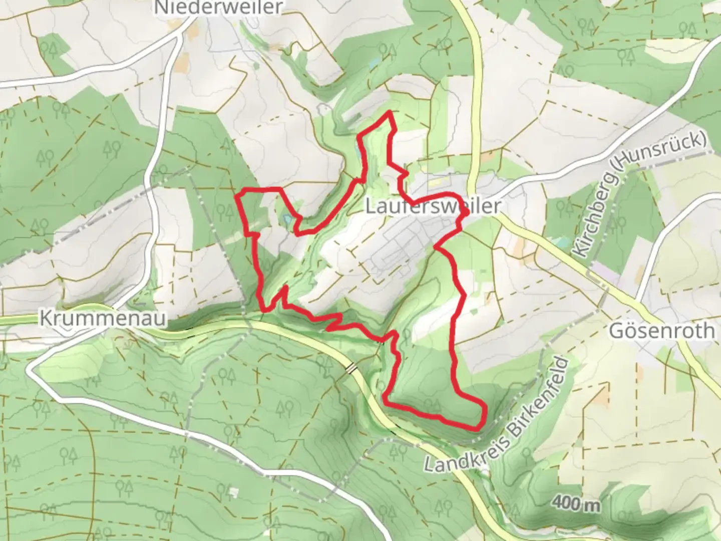
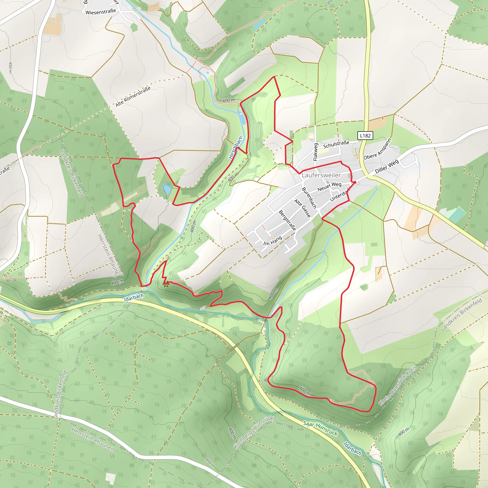
Starting your adventure near Rhein-Hunsrück-Kreis, Germany, the Laufersweiler Loop via Hohwald is a captivating 9 km (5.6 miles) loop trail with an elevation gain of approximately 200 meters (656 feet). This medium-difficulty trail offers a blend of natural beauty and historical intrigue, making it a rewarding experience for hikers of various skill levels.
Getting There
To reach the trailhead, you can drive or use public transport. If driving, set your GPS to Laufersweiler, a small village in the Rhein-Hunsrück-Kreis district. For those relying on public transport, the nearest significant landmark is the town of Kirchberg. From Kirchberg, you can take a local bus to Laufersweiler, which is a short ride away.
Trail Overview
The trail begins near the village of Laufersweiler, where you'll find ample parking and clear signage marking the start of the loop. As you set off, the initial section of the trail is relatively flat, allowing you to ease into the hike. The path meanders through lush forests and open meadows, offering a serene start to your journey.
Nature and Wildlife
As you progress, the trail takes you through the Hohwald forest, a dense woodland area teeming with wildlife. Keep an eye out for deer, foxes, and a variety of bird species. The forest floor is often carpeted with wildflowers in the spring and summer, adding a splash of color to your hike.
Historical Significance
Around the 4 km (2.5 miles) mark, you'll come across remnants of historical significance. The region has a rich history dating back to Roman times, and you may encounter ancient ruins and old stone walls that once marked territorial boundaries. These historical markers provide a fascinating glimpse into the past and are well worth a pause to explore.
Elevation and Terrain
The trail begins to ascend gradually as you approach the midpoint, with the most significant elevation gain occurring between the 5 km (3.1 miles) and 7 km (4.3 miles) marks. The climb is steady but manageable, offering panoramic views of the surrounding countryside as a reward for your efforts. The highest point of the trail provides a perfect spot for a rest and a picnic, with sweeping vistas that are particularly stunning during the fall when the foliage is ablaze with color.
Navigation
Navigating the Laufersweiler Loop via Hohwald is straightforward, thanks to well-marked paths and signposts. However, for added assurance, consider using the HiiKER app, which provides detailed maps and real-time navigation to keep you on track.
Final Stretch
The descent begins around the 7 km (4.3 miles) mark, leading you back through the forest and towards the village of Laufersweiler. The final stretch is a gentle downhill walk, allowing you to cool down and reflect on the diverse landscapes and historical sites you've encountered.
Practical Tips
- Wear sturdy hiking boots, as some sections of the trail can be rocky and uneven.
- Bring plenty of water and snacks, especially if you plan to picnic at the trail's highest point.
- Check the weather forecast before you go, as the trail can become slippery in wet conditions.
- Use the HiiKER app for navigation and to stay informed about any trail updates or closures.
This trail offers a perfect blend of natural beauty, wildlife, and historical intrigue, making it a must-visit for any hiking enthusiast exploring the Rhein-Hunsrück-Kreis region.
What to expect?
Activity types
Comments and Reviews
User comments, reviews and discussions about the Laufersweiler Loop via Hohwald, Germany.
4.67
average rating out of 5
3 rating(s)
