Download
Preview
Add to list
More
12.7 km
~3 hrs 4 min
321 m
Loop
“A captivating 13 km loop blending lush forests, Roman history, and panoramic Swabian Alps views.”
Starting near Rems-Murr-Kreis, Germany, the Zum Schurwald and Auf den Spuren des Kaisers trail is a captivating 13 km (8 miles) loop with an elevation gain of approximately 300 meters (984 feet). This medium-difficulty trail offers a blend of natural beauty and historical intrigue, making it a rewarding experience for hikers.
Getting There
To reach the trailhead, you can either drive or use public transport. If driving, set your GPS to Rems-Murr-Kreis, and look for parking near the town center. For those using public transport, take a train to Schorndorf station, which is well-connected to major cities like Stuttgart. From Schorndorf, you can catch a local bus to the trailhead area.
Trail Overview
The trail begins with a gentle ascent through lush forests, providing a serene start to your hike. As you climb, you'll encounter a mix of deciduous and coniferous trees, offering a rich tapestry of colors, especially in autumn. The first 3 km (1.9 miles) involve a steady climb, gaining about 150 meters (492 feet) in elevation.
Historical Significance
Around the 4 km (2.5 miles) mark, you'll come across the remnants of ancient Roman roads, a testament to the region's historical significance. These roads were once vital routes for Roman legions and traders, connecting various parts of the empire. Take a moment to appreciate the engineering prowess of the Romans as you walk along these ancient paths.
Wildlife and Flora
As you continue, the trail meanders through meadows and small clearings, where you might spot local wildlife such as deer, foxes, and a variety of bird species. The flora is equally diverse, with wildflowers dotting the landscape in spring and summer. Keep an eye out for rare orchids and other native plants.
Midpoint and Scenic Views
At approximately 7 km (4.3 miles), you'll reach the highest point of the trail, offering panoramic views of the Swabian Alps and the surrounding countryside. This is an ideal spot for a break and some photography. The elevation gain to this point is around 300 meters (984 feet), making it a rewarding climb.
Descending Back
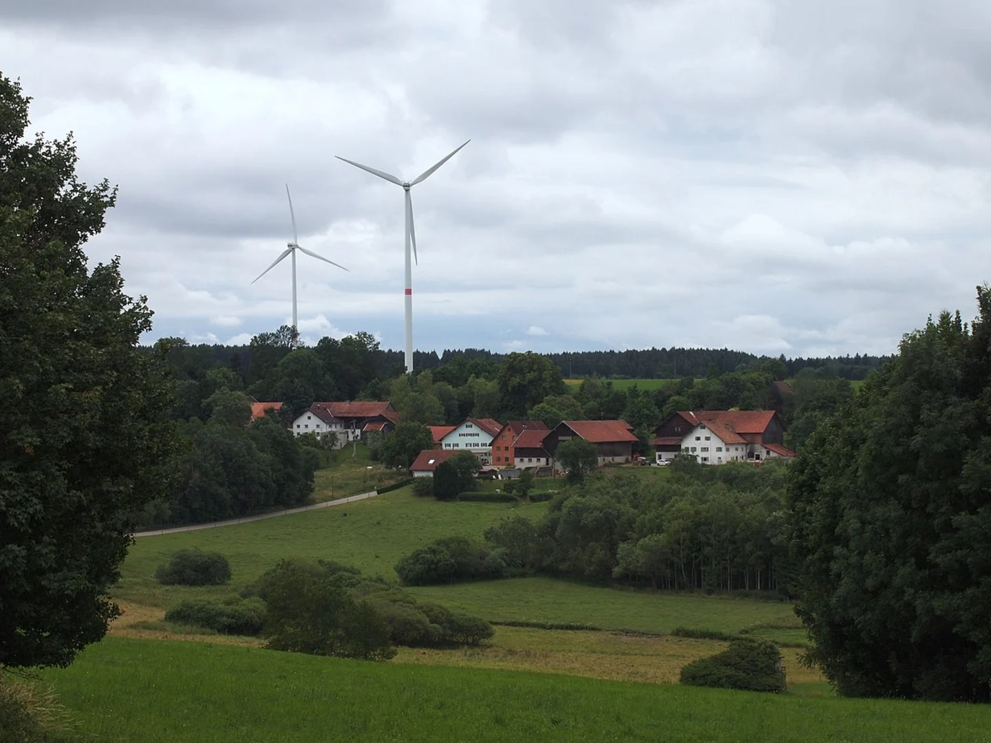
The descent begins after the viewpoint, leading you through more forested areas and eventually back to the starting point. The last 6 km (3.7 miles) are mostly downhill, making for a pleasant and less strenuous return journey. Along the way, you'll pass by small streams and perhaps even a quaint village or two, adding to the charm of the hike.
Navigation
For navigation, it's highly recommended to use the HiiKER app, which provides detailed maps and real-time updates to ensure you stay on track. The trail is well-marked, but having a reliable navigation tool can enhance your hiking experience.
Final Stretch
As you approach the end of the loop, the trail flattens out, leading you back to the trailhead near Rems-Murr-Kreis. This final stretch is a great opportunity to reflect on the diverse landscapes and historical landmarks you've encountered along the way.
This trail offers a perfect blend of natural beauty, historical significance, and moderate physical challenge, making it a must-visit for any hiking enthusiast.

Comments and Reviews
User comments, reviews and discussions about the Zum Schurwald and Auf den Spuren des Kaisers, Germany.
4.25
average rating out of 5
4 rating(s)