Download
Preview
Add to list
More
10.0 km
~2 hrs 33 min
332 m
Point-to-Point
“Discover the captivating 10 km Klammweg-Brautsteinweg-Wasserleitungsweg hike near Rastatt, blending natural beauty and historical charm.”
Starting near Rastatt, Germany, the Klammweg, Brautsteinweg, and Wasserleitungsweg from Plaettig Buehlerhoehe offer a captivating 10 km (6.2 miles) point-to-point hike with an elevation gain of approximately 300 meters (984 feet). This trail is rated medium in difficulty, making it suitable for moderately experienced hikers.
Getting There
To reach the trailhead, you can either drive or use public transport. If driving, head towards the Plaettig Buehlerhoehe area, which is well-signposted from Rastatt. For those using public transport, take a train to Rastatt and then a bus towards Buehlerhoehe. The nearest significant landmark to the trailhead is the Hotel Bühlerhöhe, a historic hotel known for its stunning architecture and scenic views.
Trail Overview
The trail begins near the Hotel Bühlerhöhe, a perfect spot to start your adventure. As you set off, you'll be greeted by dense forests and well-marked paths. The first section, Klammweg, is known for its narrow gorges and small waterfalls. This part of the trail is relatively flat, making it a gentle introduction to the hike.
Klammweg Section
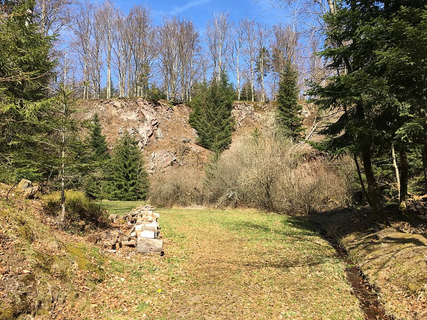
Approximately 2 km (1.2 miles) into the hike, you'll encounter the Klammweg section. Here, the trail meanders through a series of narrow gorges, offering stunning views of cascading waterfalls and moss-covered rocks. The sound of rushing water adds a serene backdrop to your hike. Be cautious of slippery rocks, especially after rainfall.
Brautsteinweg Section
After about 4 km (2.5 miles), you'll transition to the Brautsteinweg section. This part of the trail is named after the Brautstein, or "Bride's Stone," a large rock formation with historical significance. Legend has it that this stone was a meeting place for lovers in ancient times. The trail here becomes steeper, with an elevation gain of around 150 meters (492 feet) over the next 2 km (1.2 miles). The path is well-maintained but can be challenging, so take your time and enjoy the panoramic views of the surrounding Black Forest.
Wasserleitungsweg Section
The final section, Wasserleitungsweg, begins around the 6 km (3.7 miles) mark. This part of the trail follows an old water conduit system that once supplied water to the nearby villages. The path is relatively flat and easy to navigate, making it a pleasant end to your hike. You'll pass through lush meadows and dense forests, with occasional glimpses of local wildlife such as deer and various bird species.
Historical Significance
The region around Plaettig Buehlerhoehe is steeped in history. The Hotel Bühlerhöhe itself is a historic landmark, built in the early 20th century and once a favorite retreat for European nobility. The Brautstein rock formation adds a touch of local folklore, enriching your hiking experience with tales of ancient lovers.
Navigation and Safety
For navigation, it's highly recommended to use the HiiKER app, which provides detailed maps and real-time updates. The trail is well-marked, but having a reliable navigation tool ensures you stay on track. Always carry sufficient water, snacks, and a first-aid kit. Weather in the Black Forest can be unpredictable, so dress in layers and be prepared for sudden changes.
This 10 km (6.2 miles) hike offers a blend of natural beauty, historical landmarks, and moderate physical challenge, making it a rewarding experience for those looking to explore the scenic landscapes near Rastatt, Germany.

What to expect?
Activity types
Comments and Reviews
User comments, reviews and discussions about the Klammweg, Brautsteinweg and Wasserleitungsweg from Plaettig Buehlerhoehe, Germany.
average rating out of 5
0 rating(s)