Download
3D Flyover
Add to list
More
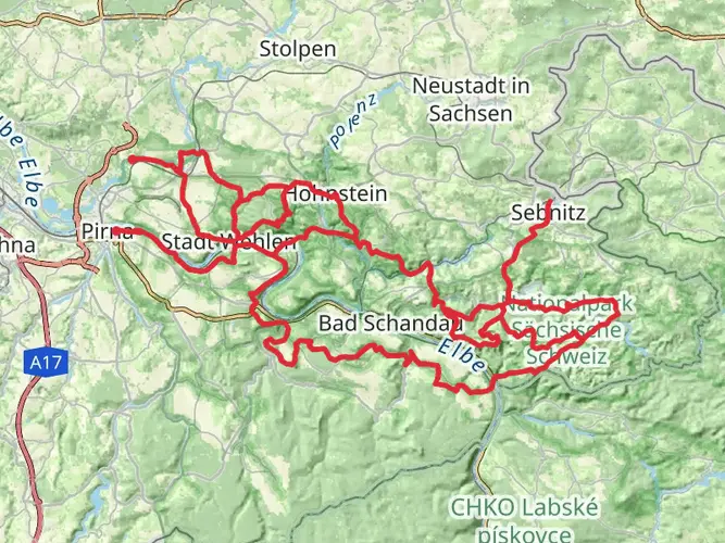
89.2 km
~4 days
1529 m
Multi-Day
“Embark on Saxony's scenic Sächsischer Weinwanderweg, a cultural and historical hiking adventure through Germany's lush wine country.”
Embarking on the Sächsischer Weinwanderweg, hikers will traverse approximately 89 kilometers (about 55 miles) of scenic landscapes, with an elevation gain of around 1500 meters (nearly 4921 feet). This point-to-point trail, nestled in the picturesque region of Saxony, Germany, offers a medium difficulty rating, making it accessible to hikers with a moderate level of experience.
Getting to the Trailhead The journey begins near the town of Pirna, which is easily accessible by public transport or car. For those opting for public transportation, Pirna is well-connected by train and bus services from major cities like Dresden. Upon arrival in Pirna, local buses or a short taxi ride can take you to the trailhead. If driving, there are parking facilities available near the starting point for convenience.
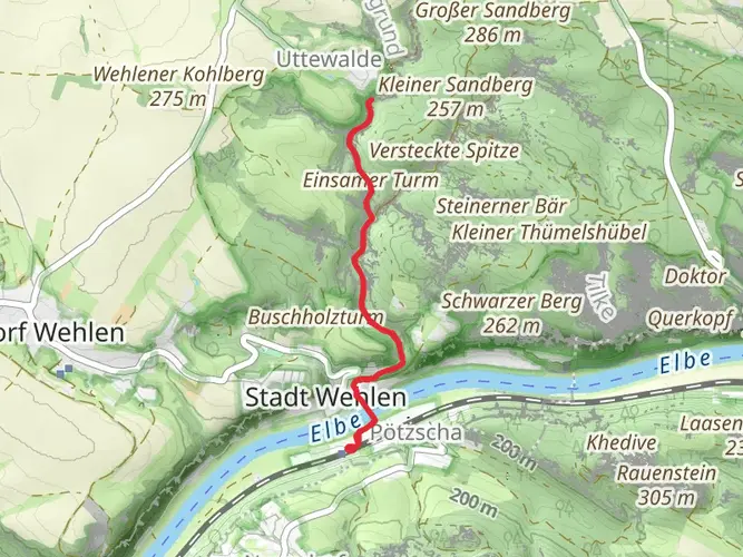
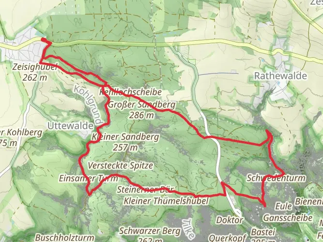
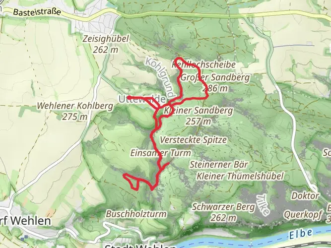
Navigating the Trail As you set out from the vicinity of Pirna, the trail will lead you through the heart of Saxony's wine country. The route is well-marked, but carrying a reliable navigation tool like HiiKER on your mobile device is recommended to keep track of your progress and ensure you stay on the correct path.
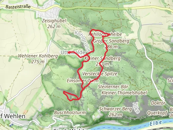
Landmarks and Scenery The Sächsischer Weinwanderweg is not only a journey through nature but also a cultural experience. The trail meanders through rolling vineyards, offering panoramic views of the Elbe River Valley. Along the way, hikers will encounter charming wine villages, each with its own unique character and opportunities to taste local wines.
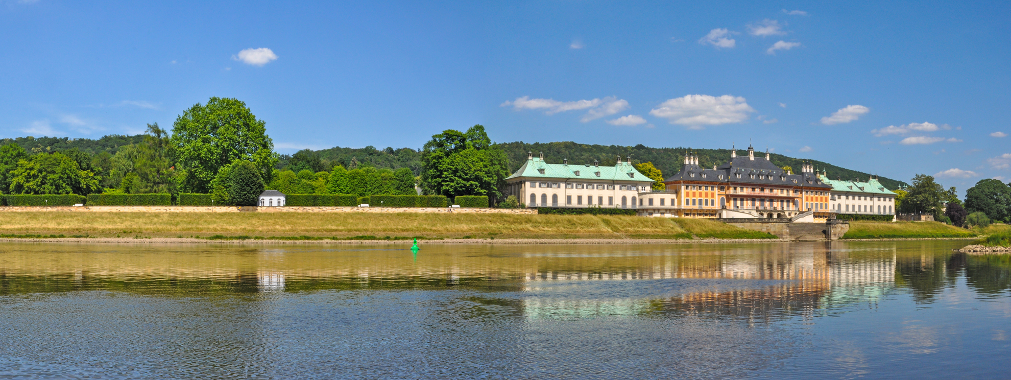
Historical Significance This region is steeped in history, with viticulture dating back to the 12th century. As you hike, you'll pass by historic terraced vineyards and ancient wine presses, some of which are still in use today. The trail also features several castles and fortresses that once stood guard over the valley, including the imposing Fortress Königstein, which is a significant landmark approximately 30 kilometers (about 18.6 miles) into the hike.
Flora and Fauna The trail offers a diverse array of flora, with vineyards giving way to mixed forests and open fields. Spring and autumn are particularly beautiful times to hike, with wildflowers or fall foliage enhancing the landscape. Wildlife in the area includes a variety of bird species, and with a bit of luck, hikers may spot deer or smaller mammals native to the region.
Preparation and Planning Before setting out, ensure you have adequate water and provisions, as some stretches of the trail have limited facilities. It's also advisable to check the weather forecast and dress in layers, as temperatures can vary, especially with the changes in elevation.
Accommodation and Rest Stops For those looking to complete the trail over several days, there are numerous guesthouses and B&Bs in the villages along the route. It's wise to book accommodation in advance, particularly during the peak hiking season. Rest stops are available at various points, offering the chance to rest and refuel.
Conclusion The Sächsischer Weinwanderweg is a trail that offers a blend of natural beauty, cultural encounters, and historical exploration. With careful planning and a spirit of adventure, hikers will find this trail to be a rewarding experience through one of Germany's most enchanting landscapes.

Frequently asked questions
How long is the Sächsischer Weinwanderweg and how many days does it take to hike?
The Sächsischer Weinwanderweg is 89.23 km long with 1,529 m of total ascent, so it is usually treated as a multi-day walk rather than a single-day outing. The route is commonly split into about six stages from the Pirna area through Dresden, Radebeul, and Meißen to Diesbar-Seußlitz, which makes it manageable for a week of steady hiking.
Where does the Sächsischer Weinwanderweg start and finish?
The Sächsischer Weinwanderweg starts near Pirna and runs northwest through Saxony’s wine country to Diesbar-Seußlitz. Along the way it passes key places in the Elbe valley including Dresden, Radebeul, Coswig, Weinböhla, Niederau, and Meißen, following the heart of the Saxon wine region.
Is the Sächsischer Weinwanderweg difficult?
The Sächsischer Weinwanderweg is generally rated easy, even though it covers 89.23 km in total. The main challenge is the cumulative distance over several days rather than technical terrain, with 1,529 m of elevation gain spread across vineyard slopes, valley-side paths, and rolling sections above the Elbe.
Can the Sächsischer Weinwanderweg be hiked using public transportation from Pirna or Dresden?
Yes. Pirna is a practical access point because the route begins there, and it is well connected by rail to Dresden. The first stage information for the trail also notes access from Pirna station, including the F9 ferry toward the Oberposta side, which helps hikers reach the opening section near the Elbe and Mockethaler Grund.
What towns and landmarks does the Sächsischer Weinwanderweg pass through?
The Sächsischer Weinwanderweg links many of the best-known places in Saxony’s wine landscape, including Pirna, Dresden-Pillnitz, Dresden, Radebeul, Coswig, Weinböhla, Niederau, Meißen, and Diesbar-Seußlitz. The scenery is defined by vineyard terraces, broad views over the Elbe valley, historic wine villages, and the castle area at Seußlitz near the western end.
Is there a map for the Sächsischer Weinwanderweg and is the route waymarked?
Yes. The Sächsischer Weinwanderweg is a recognized long-distance route with published stage mapping, and it is generally walked as a signed route through the Saxon wine region. Because it stretches nearly 90 km from Pirna to Diesbar-Seußlitz and passes through several urban and vineyard sections, a detailed digital map is useful for day-by-day navigation.
Comments and Reviews
User comments, reviews and discussions about the Sächsischer Weinwanderweg, Germany.
4.86
average rating out of 5
7 rating(s)