Download
Preview
Add to list
More
4.6 km
~1 hrs 11 min
163 m
Loop
“Winding through flower-strewn forests and shimmering lake views, this trail blends Bavarian charm with mountain magic.”
Nestled in the foothills of the Bavarian Alps, this 5 km (about 3.1 miles) loop trail begins near the picturesque village of Hohenschwangau in Ostallgäu, Germany, just a short walk from the famous Neuschwanstein and Hohenschwangau castles. The trailhead is easily accessed from the Hohenschwangau Parkplatz (parking lot), which is well-signposted and serves as a hub for visitors to the region. For those arriving by public transport, regular buses run from Füssen train station to Hohenschwangau, with the bus stop located just a few minutes’ walk from the start of the loop.
Getting Started and Initial Ascent
The route begins with a gentle incline through mixed woodland, where the forest floor is often carpeted with wildflowers in spring and early summer. The first kilometer (0.6 miles) offers a steady climb, gaining about 100 meters (328 feet) in elevation as you make your way up toward the shores of Schwansee (Swan Lake). The path is well-maintained, but can be muddy after rain, so sturdy footwear is recommended.
Schwansee and Panoramic Views
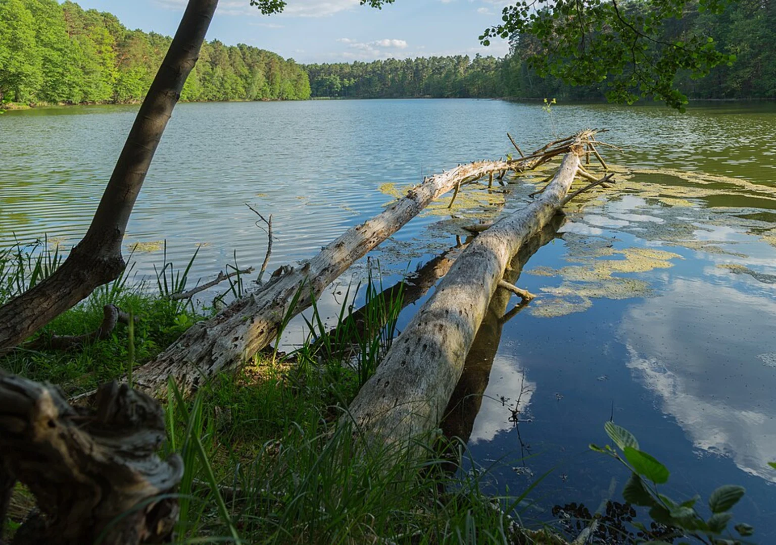
At around the 2 km (1.2 mile) mark, the trail opens up to reveal Schwansee itself, a tranquil lake framed by reeds and backed by the dramatic outlines of the Ammergebirge mountains. Benches along the lakeshore provide a perfect spot to pause and take in the views of the castles perched on the hills above. Birdwatchers should keep an eye out for swans, herons, and the occasional kingfisher. The area is also home to deer and foxes, especially in the quieter early morning or late afternoon hours.
Historical Significance and Landmarks
This region is steeped in history, with the nearby castles built by Bavarian royalty in the 19th century. The trail passes close to the site of the former royal hunting grounds, and interpretive signs along the way provide insight into the area’s cultural heritage. At about 3.5 km (2.2 miles), you’ll find a viewpoint with a direct line of sight to Neuschwanstein Castle, one of the most photographed landmarks in Germany.
Descent and Return
The final section of the loop descends gradually through beech and spruce forest, with occasional clearings offering glimpses of the Allgäu countryside. The last kilometer (0.6 miles) is mostly downhill, losing the remaining 100 meters (328 feet) of elevation as you return to the trailhead.
Navigation and Preparation
The route is well-marked, but for added confidence, hikers are encouraged to use HiiKER for up-to-date trail maps and navigation. Weather in the region can change rapidly, so pack layers and rain protection. The trail is rated as medium difficulty due to the elevation gain and some uneven terrain, but is suitable for most hikers with moderate fitness.
Public toilets and refreshments are available near the parking area in Hohenschwangau, and the village offers several options for post-hike meals or snacks. The Schwansee Loop is a rewarding hike that combines natural beauty, wildlife, and a touch of Bavarian history, all within easy reach of one of Germany’s most iconic landscapes.

Comments and Reviews
User comments, reviews and discussions about the Schwansee Loop, Germany.
average rating out of 5
0 rating(s)