Download
3D Flyover
Add to list
More
10.9 km
~3 hrs 30 min
800 m
Point-to-Point
“Embark on an adventurous hike through the Bavarian Alps, rich with history, stunning vistas, and vibrant nature.”
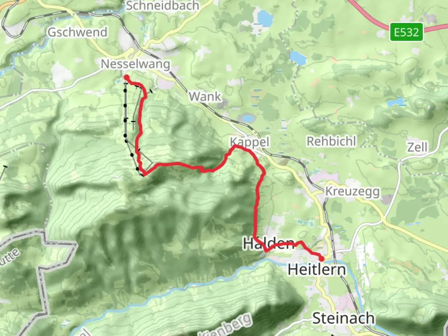
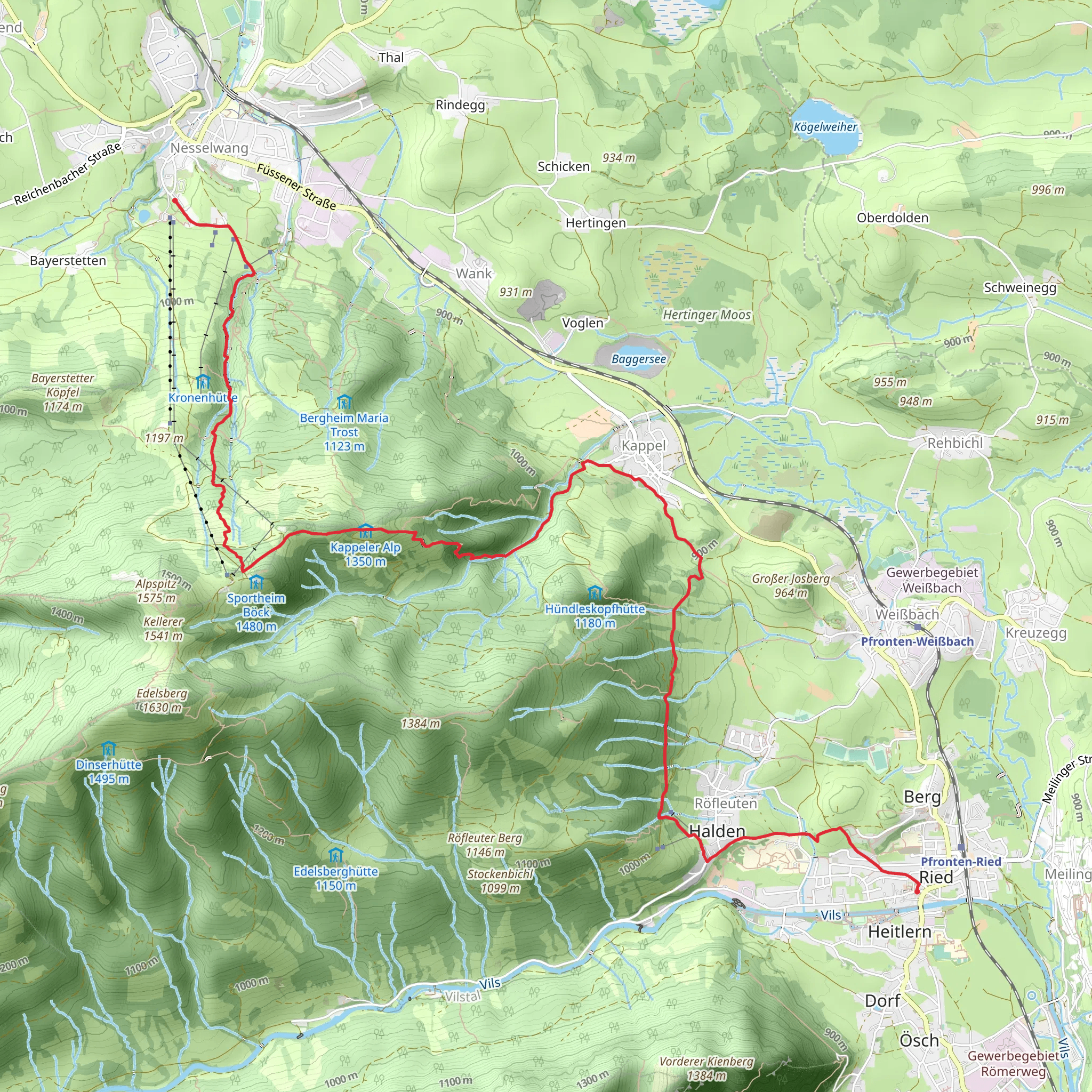
Nestled in the picturesque region of Ostallgäu, Germany, the trail from Pfronten to Nesselwang via the Wasserläufer Route offers a challenging yet rewarding hiking experience. Spanning approximately 11 kilometers (about 6.8 miles) with an elevation gain of around 800 meters (approximately 2,625 feet), this point-to-point trail is rated as extra difficult, making it suitable for experienced hikers seeking an adventurous journey through the Bavarian Alps.
Getting There
To reach the trailhead near Ostallgäu, you can opt for public transport or drive. If you're using public transport, the nearest major town is Pfronten, which is accessible by train from larger cities like Munich or Augsburg. From Pfronten, local buses or a short taxi ride can take you to the trailhead. If driving, you can park in Pfronten, where there are several parking options available.
Trail Overview
The trail begins in the charming town of Pfronten, known for its traditional Bavarian architecture and stunning alpine views. As you set off, you'll quickly find yourself immersed in the natural beauty of the region. The initial section of the trail is a steady ascent, offering panoramic views of the surrounding mountains and valleys. The path is well-marked, but it's advisable to use HiiKER for navigation to ensure you stay on track.
Key Landmarks and Natural Features
As you progress along the trail, you'll encounter several significant landmarks and natural features. One of the highlights is the scenic Weißensee, a pristine alpine lake located approximately 4 kilometers (2.5 miles) into the hike. This is an ideal spot to take a break and enjoy the tranquil surroundings.
Continuing on, the trail leads you through dense forests and open meadows, providing opportunities to spot local wildlife such as deer and various bird species. The flora in this region is diverse, with vibrant wildflowers dotting the landscape during the warmer months.
Historical Significance
The region around Pfronten and Nesselwang is steeped in history, with evidence of human settlement dating back to Roman times. As you hike, you'll pass by remnants of ancient trade routes that once connected the Roman Empire with the northern territories. The area is also known for its traditional Bavarian culture, which is evident in the architecture and local customs.
Final Ascent and Descent
The final section of the trail involves a steep ascent to the summit of the Edelsberg, offering breathtaking views of the Allgäu Alps. This part of the hike is particularly challenging, with rocky terrain and narrow paths, so caution is advised. Once you reach the summit, take a moment to savor the panoramic vistas before beginning the descent towards Nesselwang.
The descent is equally demanding, with a series of switchbacks leading you down through lush forests. As you approach Nesselwang, the trail levels out, providing a gentle end to your hike. Nesselwang itself is a delightful town, offering a range of amenities and opportunities to relax after your trek.
Preparation and Safety
Given the trail's difficulty rating, proper preparation is essential. Ensure you have sturdy hiking boots, sufficient water, and weather-appropriate clothing. Check the weather forecast before setting out, as conditions in the mountains can change rapidly. It's also wise to inform someone of your plans and expected return time.
This trail offers a challenging yet unforgettable experience, showcasing the natural beauty and historical richness of the Bavarian Alps.
Comments and Reviews
User comments, reviews and discussions about the Pfronten to Nesselwang via Wasserlaeufer Route, Germany.
5.0
average rating out of 5
1 rating(s)
