Download
3D Flyover
Add to list
More
8.4 km
~2 hrs 53 min
726 m
Loop
“An 8 km loop offering breathtaking views, rich history, and diverse wildlife in Ostallgäu, Germany.”
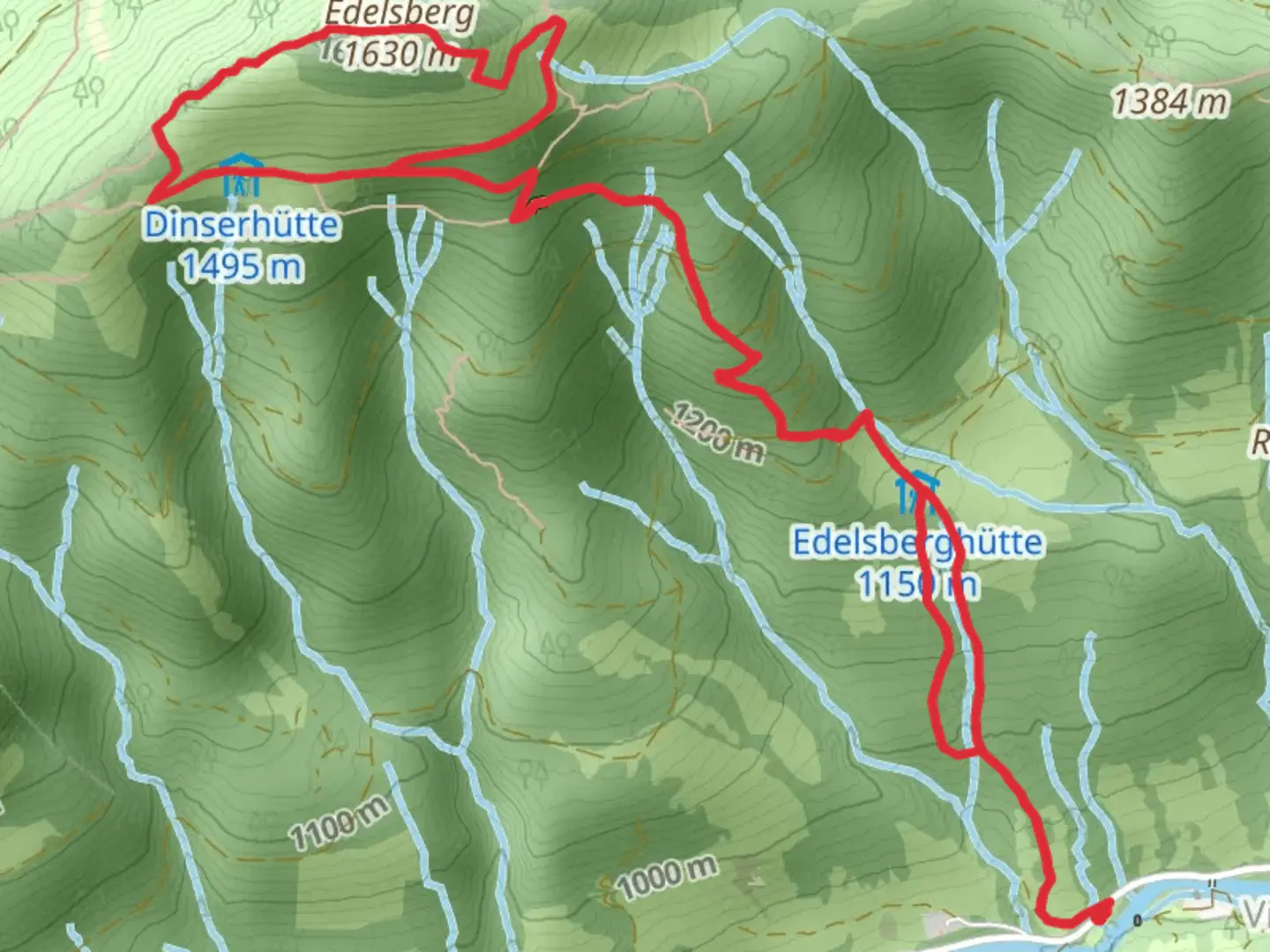
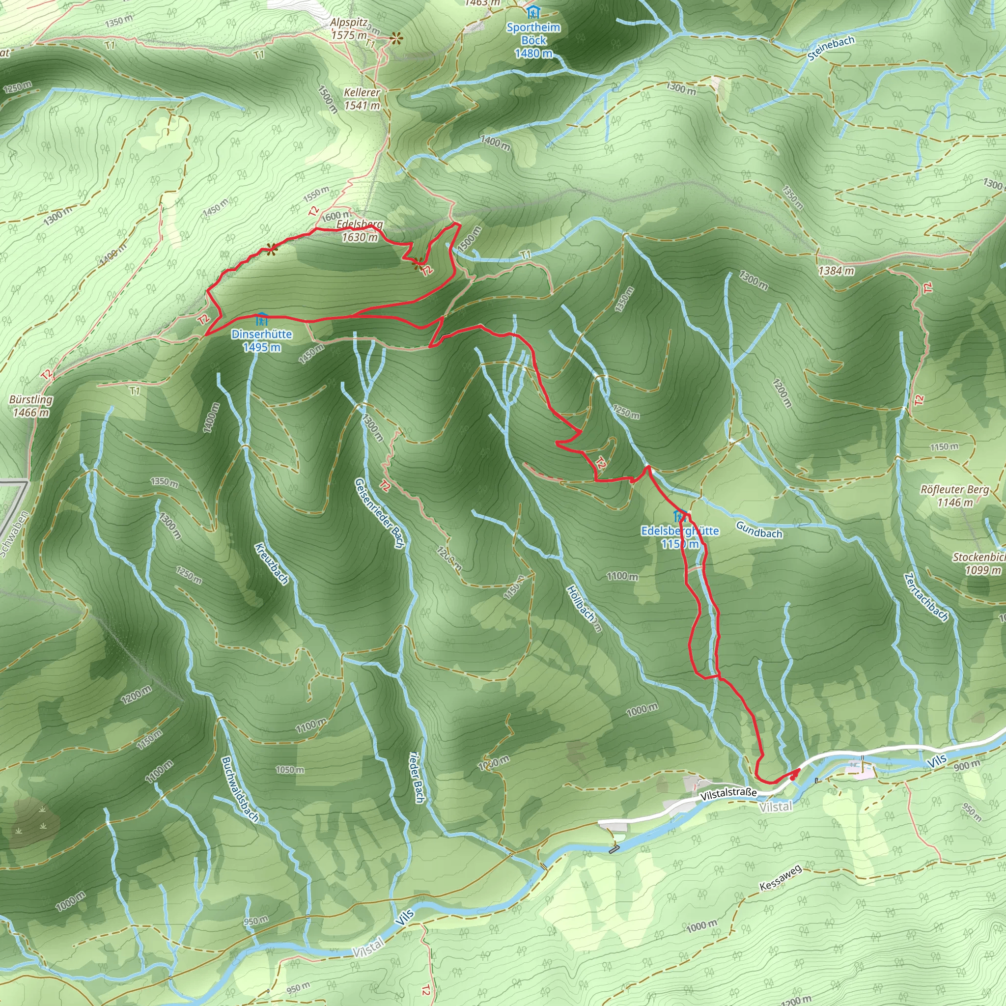
Starting near Ostallgäu, Germany, the Bergpanorama from Vilstal Edelsberg Sued trail is an 8 km (5 miles) loop with an elevation gain of approximately 700 meters (2,297 feet). This medium-difficulty hike offers a blend of natural beauty, historical significance, and panoramic views that make it a must-visit for outdoor enthusiasts.
Getting There
To reach the trailhead, you can drive or use public transport. If driving, set your GPS to Ostallgäu, Germany, and look for parking near the Vilstal area. For those using public transport, take a train to the nearest station in Pfronten, and from there, you can catch a local bus or taxi to the trailhead.
Trail Overview
The trail begins with a gentle ascent through lush forests, where you can expect to see a variety of flora and fauna. Keep an eye out for deer and various bird species that inhabit this region. The initial 2 km (1.2 miles) of the trail are relatively easy, making it a good warm-up for the more challenging sections ahead.
Key Landmarks and Elevation
As you progress, the trail becomes steeper, gaining significant elevation. Around the 3 km (1.9 miles) mark, you'll reach a viewpoint offering stunning vistas of the surrounding valleys and mountains. This is a great spot to take a break and capture some photos.
Continuing on, you'll encounter the Edelsberg summit at approximately 4 km (2.5 miles) into the hike. Standing at an elevation of 1,634 meters (5,361 feet), the summit provides a 360-degree panoramic view of the Allgäu Alps. On clear days, you can even see the distant peaks of the Austrian Alps.
Historical Significance
The region around Ostallgäu has a rich history dating back to medieval times. The trail itself passes near several historical landmarks, including ancient ruins and old farmhouses that offer a glimpse into the area's past. Be sure to take a moment to appreciate these historical sites as you hike.
Descent and Return
The descent begins after the summit, taking you through alpine meadows and past small streams. This section is less strenuous but requires careful footing, especially if the ground is wet. Around the 6 km (3.7 miles) mark, you'll re-enter the forest, where the trail levels out and leads you back to the starting point.
Navigation and Safety
For navigation, it's highly recommended to use the HiiKER app, which provides detailed maps and real-time updates. The trail is well-marked, but having a reliable navigation tool ensures you stay on track.
Wildlife and Flora
Throughout the hike, you'll encounter a diverse range of plant life, from alpine flowers to dense forest undergrowth. Wildlife is abundant, so keep your eyes peeled for marmots, chamois, and various bird species. Always maintain a respectful distance from wildlife and follow Leave No Trace principles to preserve the natural beauty of the area.
This trail offers a perfect blend of physical challenge, natural beauty, and historical intrigue, making it a rewarding experience for any hiker.
What to expect?
Activity types
Comments and Reviews
User comments, reviews and discussions about the Bergpanorama from Vilstal Edelsberg Sued, Germany.
4.6
average rating out of 5
5 rating(s)
