Download
3D Flyover
Add to list
More
131.0 km
~6 days
3507 m
Multi-Day
“Trek the historic Alemannenweg, a demanding 131-kilometer journey through Germany's enchanting Odenwald, reserved for seasoned adventurers.”
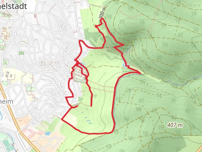
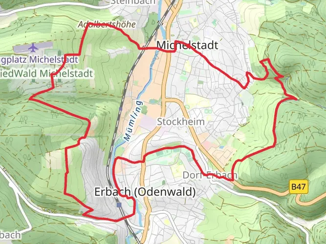
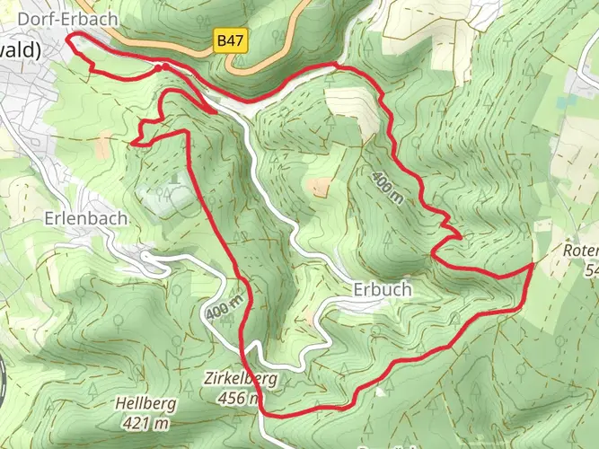
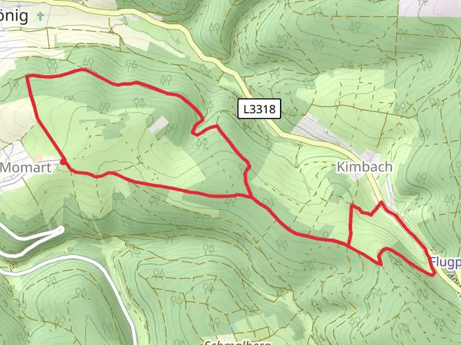
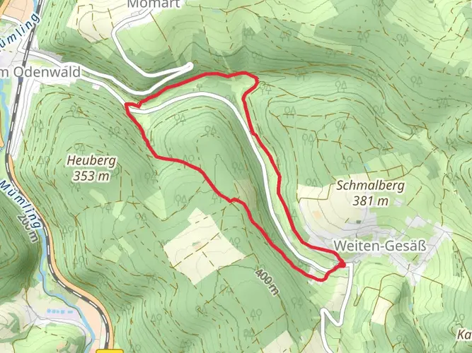
Embarking on the Alemannenweg, hikers will traverse approximately 131 kilometers (about 81 miles) through the heart of the Odenwald, a mountain range in Germany. With an elevation gain of around 3500 meters (approximately 11,483 feet), this point-to-point trail is considered difficult and is best suited for experienced hikers who are well-prepared for multi-day treks.
The journey begins near Odenwaldkreis, a district in the southern part of Hesse, Germany. To reach the trailhead, travelers can use public transportation by taking a train to the nearest station and then a bus to the starting point, or by driving directly to the location where parking options are available.
As you set out, the trail will lead you through a landscape rich in dense forests, rolling hills, and picturesque valleys. The Odenwald is known for its biodiversity, and hikers can expect to encounter a variety of flora and fauna. The forests are home to beech and oak trees, while the open areas may feature wildflowers in the spring and summer months. Wildlife sightings might include deer, foxes, and a range of bird species.
Historical Significance and Landmarks
The Alemannenweg is steeped in history, taking its name from the Alemanni, a group of Germanic tribes. The region is dotted with historical landmarks, including ancient ruins, castles, and monasteries. Notable stops along the route include the Frankenstein Castle, which offers panoramic views and a touch of medieval history, and the Lorsch Abbey, a UNESCO World Heritage Site that dates back to the Carolingian Empire.
Navigating the Trail
Hikers can rely on HiiKER for detailed maps and navigation tools to guide them along the Alemannenweg. The trail is well-marked, but due to its length and complexity, it's essential to have a reliable navigation aid. Along the way, there are several towns and villages where hikers can resupply, find accommodations, or simply enjoy local hospitality and cuisine.
Terrain and Elevation
The trail's terrain varies, with some sections featuring steep climbs and descents, while others offer more gentle, rolling paths. The elevation gain is spread out across the entire route, but there are certain segments where the incline is more pronounced, challenging even seasoned hikers.
Preparation and Planning
Before setting out, hikers should ensure they have the appropriate gear for a long-distance trek, including sturdy footwear, weather-appropriate clothing, and sufficient food and water supplies. It's also wise to plan for overnight stays, whether in designated camping areas or local inns along the route.
Given the trail's difficulty and length, it's recommended to plan for several days of hiking to complete the Alemannenweg. This allows for a more enjoyable experience, with time to explore the historical sites and natural beauty without rushing.
Seasonal Considerations
The best times to hike the Alemannenweg are from late spring to early fall when the weather is milder, and the days are longer. However, hikers should be prepared for changing weather conditions and pack accordingly.
In conclusion, the Alemannenweg offers a challenging yet rewarding experience for those looking to explore the natural and historical richness of the Odenwald region. With proper preparation and respect for the trail's difficulty, hikers can embark on a memorable adventure through one of Germany's most scenic and storied landscapes.

Frequently asked questions
How long is the Alemannenweg and how many days does the Alemannenweg usually take?
The Alemannenweg is 130.96 km long with 3,507 m of total ascent, so it sits firmly in the difficult multi-day category. Most hikers break a route of this length into about 6 to 8 days, depending on daily mileage, weather, and how much time is spent at places such as Frankenstein Castle and the historic town of Lorsch.
How hard is the Alemannenweg in Odenwaldkreis?
The Alemannenweg is a difficult long-distance hike. Over 130.96 km, it gains 3,507 m of elevation, which means repeated climbs and descents through the Odenwald rather than a flat valley walk. It is better suited to experienced hikers who are comfortable with sustained multi-day effort.
Is the Alemannenweg a loop or a point-to-point hike?
The Alemannenweg is generally described as a circular long-distance route in the Odenwald, running from the Erbach area toward the Bergstraße and back through the Vorderer Odenwald toward Michelstadt. That makes it easier to plan logistics than a one-way crossing, even though individual daily stages can still feel like point-to-point hikes.
How is the Alemannenweg divided into stages?
The Alemannenweg is commonly walked in stages rather than as a single push. Official route material for the trail shows stage-based planning, and a route of roughly 131 km is typically split into around 6 to 8 hiking days. Stage lengths vary depending on overnight stops in Odenwald towns and villages, so daily distances can be adjusted to fitness and lodging plans.
What can hikers expect on Alemannenweg Etappe 1?
The first stage of the Alemannenweg is part of a demanding long-distance route through the Odenwald, so it should be expected to include forest paths, hill walking, and steady climbing rather than an easy warm-up day. One of the best-known landmarks associated with the route is Frankenstein Castle, a medieval site above the Bergstraße with wide views over the surrounding landscape.
Where can hikers find a map for the Alemannenweg?
The Alemannenweg is a waymarked long-distance trail of the Odenwaldklub, and regional hiking maps for the Bergstraße-Odenwald Geo-Nature Park show marked hiking routes, nature park parking areas, and other long-distance trails in the area. For on-trail navigation, the key facts to match are the Alemannenweg name, its roughly 131 km length, and its route through the Odenwaldkreis and Bergstraße sections of the range.
Are there parking and access options for the Alemannenweg trailheads?
Yes. The Bergstraße-Odenwald Geo-Nature Park maintains a network of hiking parking areas used as starting points for walks in the region, and the Alemannenweg can also be approached by rail-and-bus combinations into Odenwald towns before joining the route. Because the trail is multi-day and circular in character, both car access and public transportation can work well for start-and-finish planning.
Comments and Reviews
User comments, reviews and discussions about the Alemannenweg, Germany.
5.0
average rating out of 5
6 rating(s)