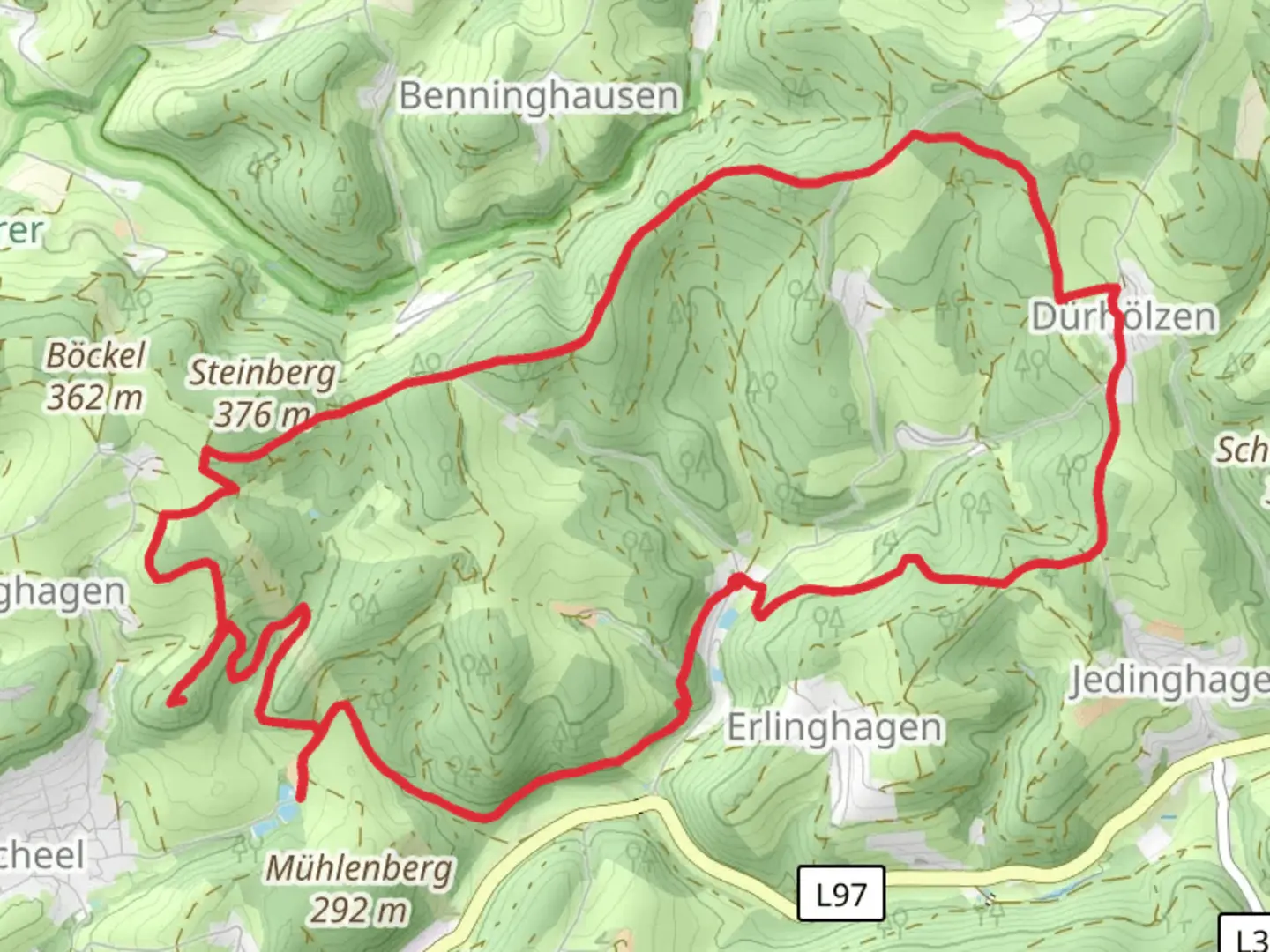
Burgruine Neuenberg and Kuemmelbach via Strasse der Arbeit
Download
3D Flyover
Add to list
More
13.6 km
~3 hrs 12 min
289 m
Loop
“Explore lush forests, historical ruins, and serene streams on this rewarding 14 km loop in Oberbergischer Kreis.”
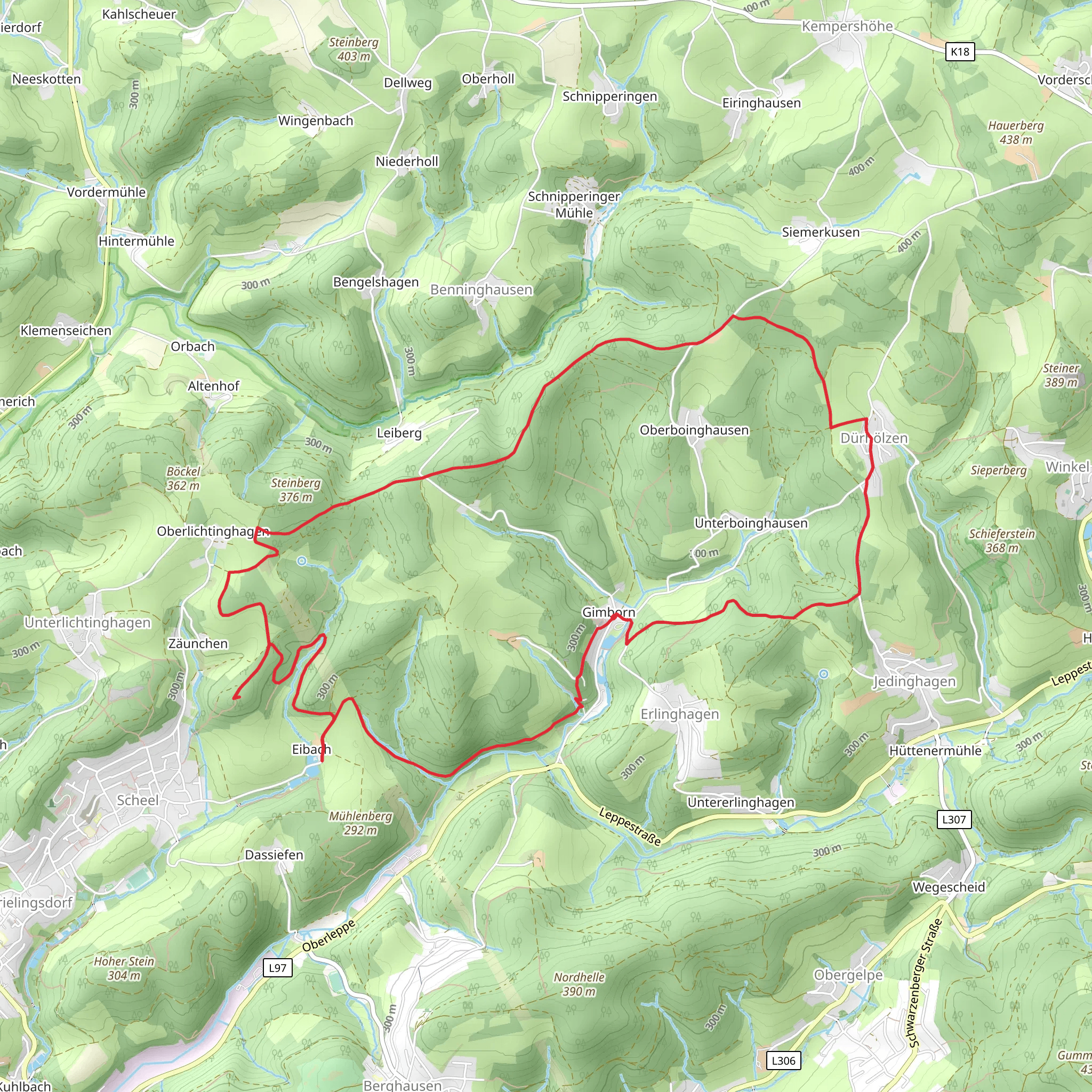
Starting near Oberbergischer Kreis, Germany, this 14 km (approximately 8.7 miles) loop trail offers a moderate challenge with an elevation gain of around 200 meters (656 feet). The trailhead is easily accessible by car or public transport. If driving, you can park near the town center of Oberbergischer Kreis. For those using public transport, the nearest significant landmark is the Gummersbach train station, from where local buses can take you closer to the trailhead.
Initial Ascent and Historical Ruins
The trail begins with a gentle ascent through lush forests, gradually leading you to the Burgruine Neuenberg, an ancient castle ruin. This section covers about 3 km (1.9 miles) and gains approximately 100 meters (328 feet) in elevation. The ruins are a significant historical landmark, dating back to the medieval period. They offer a glimpse into the region's past and provide a fantastic vantage point for panoramic views of the surrounding landscape.
Forested Pathways and Kuemmelbach Stream
Continuing from the ruins, the trail meanders through dense forested pathways. This section is relatively flat and spans around 5 km (3.1 miles). You'll encounter the serene Kuemmelbach stream, which runs parallel to the trail for a portion of this segment. The sound of flowing water and the sight of small wildlife, such as deer and various bird species, make this part of the hike particularly enjoyable. Keep an eye out for the diverse flora, including oak, beech, and pine trees.
Strasse der Arbeit
The next segment of the trail takes you along the Strasse der Arbeit, a historical route that was once used for industrial purposes. This part of the trail is about 4 km (2.5 miles) long and includes a mix of slight ascents and descents, with an elevation change of around 50 meters (164 feet). Along this route, you'll find informational plaques detailing the area's industrial history, including old mining sites and remnants of early 20th-century machinery.
Final Stretch and Return
The final 2 km (1.2 miles) of the trail loop back towards the starting point near Oberbergischer Kreis. This section is relatively easy, with a gentle descent that brings you back through the forest. As you approach the end of the trail, you'll pass through open meadows, offering a different but equally beautiful landscape compared to the earlier forested sections.
Navigation and Preparation
For navigation, it's highly recommended to use the HiiKER app, which provides detailed maps and real-time updates. Ensure you have adequate water, snacks, and appropriate hiking gear, as the trail can be muddy in sections, especially after rain. The trail is well-marked, but having a reliable navigation tool will enhance your hiking experience.
This trail offers a mix of historical landmarks, natural beauty, and moderate physical challenge, making it a rewarding hike for those prepared to explore the rich history and diverse landscapes of the Oberbergischer Kreis region.
What to expect?
Activity types
Comments and Reviews
User comments, reviews and discussions about the Burgruine Neuenberg and Kuemmelbach via Strasse der Arbeit, Germany.
4.75
average rating out of 5
4 rating(s)
