Unterer Gaisalpsee and Rubihorn Nebengipfel via Wanderwegenetz Oberstdorf
Download
3D Flyover
Add to list
More
12.6 km
~4 hrs 27 min
1160 m
Point-to-Point
“Experience the Allgäu's natural beauty and historical charm on this challenging yet rewarding 13 km alpine hike.”
Starting near Oberallgäu, Germany, the Unterer Gaisalpsee and Rubihorn Nebengipfel via Wanderwegenetz Oberstdorf trail offers a challenging yet rewarding hiking experience. This point-to-point trail spans approximately 13 km (8 miles) with an elevation gain of around 1100 meters (3609 feet), making it suitable for hikers with a moderate level of experience.
Getting There
To reach the trailhead, you can either drive or use public transport. If driving, head towards Oberstdorf in the Allgäu region. There are several parking options available near the trailhead. For those using public transport, take a train to Oberstdorf station. From there, local buses or taxis can take you to the starting point near Oberallgäu.
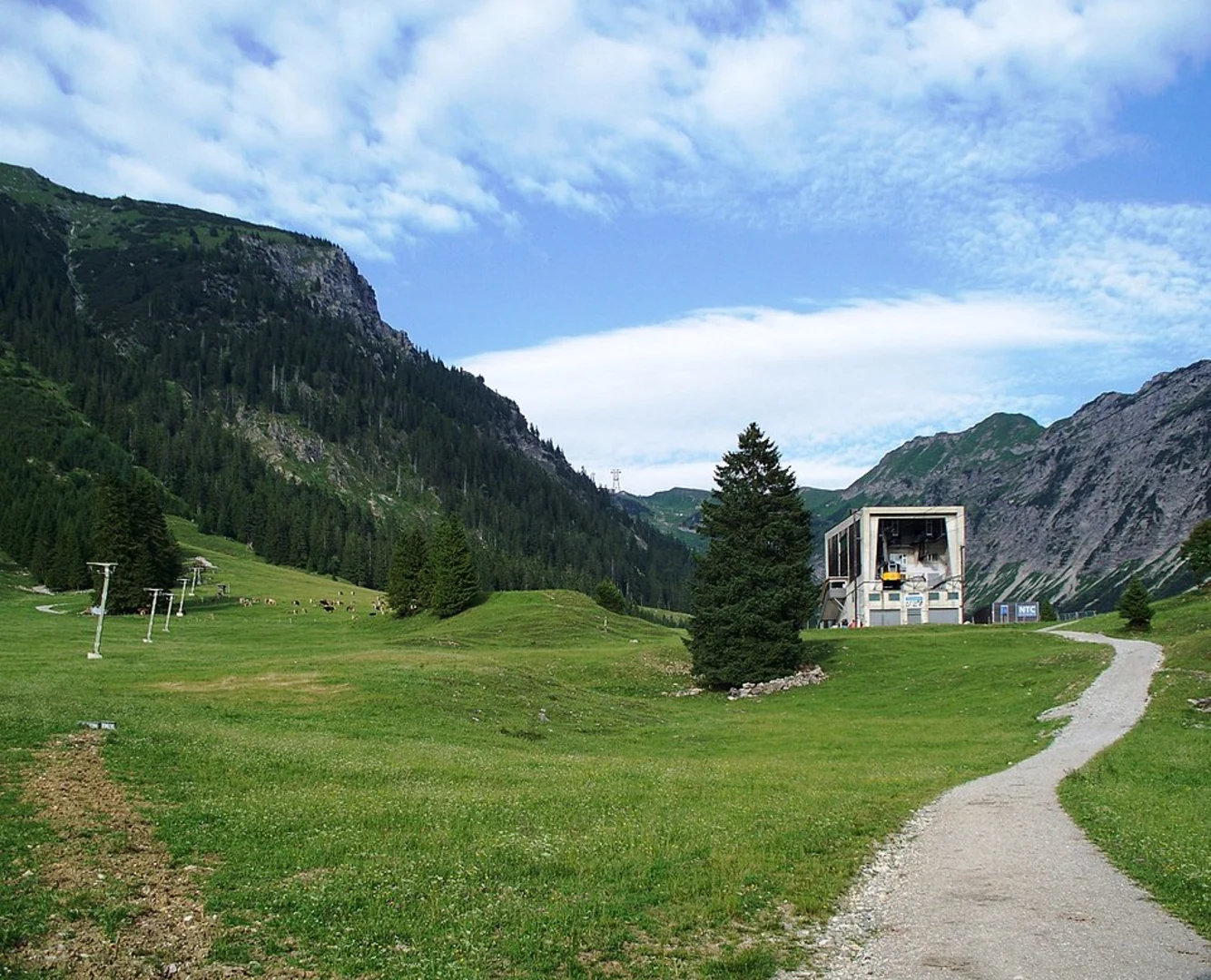
Trail Overview
The trail begins with a steady ascent through lush forests, offering a serene start to your hike. As you climb, you'll encounter a variety of flora and fauna native to the region. Keep an eye out for deer and various bird species that inhabit these woods.
Unterer Gaisalpsee
At approximately 5 km (3.1 miles) into the hike, you'll reach Unterer Gaisalpsee, a stunning alpine lake situated at an elevation of about 1500 meters (4921 feet). The lake is a perfect spot for a short break, allowing you to take in the breathtaking views of the surrounding mountains and the crystal-clear waters. The area around the lake is also rich in alpine flowers, especially during the summer months.
Rubihorn Nebengipfel
Continuing from Unterer Gaisalpsee, the trail becomes steeper as you make your way towards Rubihorn Nebengipfel. This section of the hike is more demanding, with rocky paths and some narrow passages. Proper hiking boots and poles are recommended for this part of the trail. After another 4 km (2.5 miles) and an additional elevation gain of about 400 meters (1312 feet), you'll reach the Rubihorn Nebengipfel. At an elevation of approximately 1957 meters (6419 feet), this peak offers panoramic views of the Allgäu Alps and the valleys below.
Historical Significance
The Allgäu region has a rich history dating back to Roman times. The trails you hike on today were once used by traders and travelers navigating through the Alps. The area is also known for its traditional Bavarian culture, which you can experience in the nearby towns and villages.
Navigation and Safety
Given the trail's moderate difficulty, it's essential to be well-prepared. Use HiiKER for accurate navigation and trail details. Ensure you have enough water, snacks, and appropriate clothing for changing weather conditions. The trail can be slippery, especially after rain, so tread carefully.
Wildlife and Nature
The Allgäu Alps are home to diverse wildlife, including marmots, chamois, and golden eagles. The flora varies with altitude, ranging from dense forests at lower elevations to alpine meadows and rocky outcrops higher up. The region is particularly beautiful in late spring and early summer when wildflowers are in full bloom.
Final Stretch
The descent from Rubihorn Nebengipfel takes you through scenic meadows and pastures, eventually leading you back into the forest. The final 4 km (2.5 miles) of the trail are relatively easier, allowing you to enjoy the tranquil surroundings as you make your way to the endpoint near Oberstdorf.
This trail offers a mix of natural beauty, challenging terrain, and historical significance, making it a must-visit for any hiking enthusiast.

What to expect?
Activity types
Comments and Reviews
User comments, reviews and discussions about the Unterer Gaisalpsee and Rubihorn Nebengipfel via Wanderwegenetz Oberstdorf, Germany.
4.6
average rating out of 5
5 rating(s)