Download
3D Flyover
Add to list
More
6.6 km
~1 hrs 50 min
316 m
Loop
“Embark on a captivating hike through lush forests and historical ruins, unveiling Bavaria's alpine beauty.”
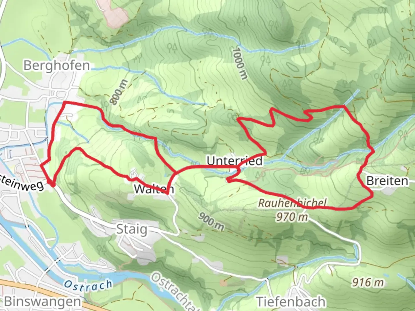
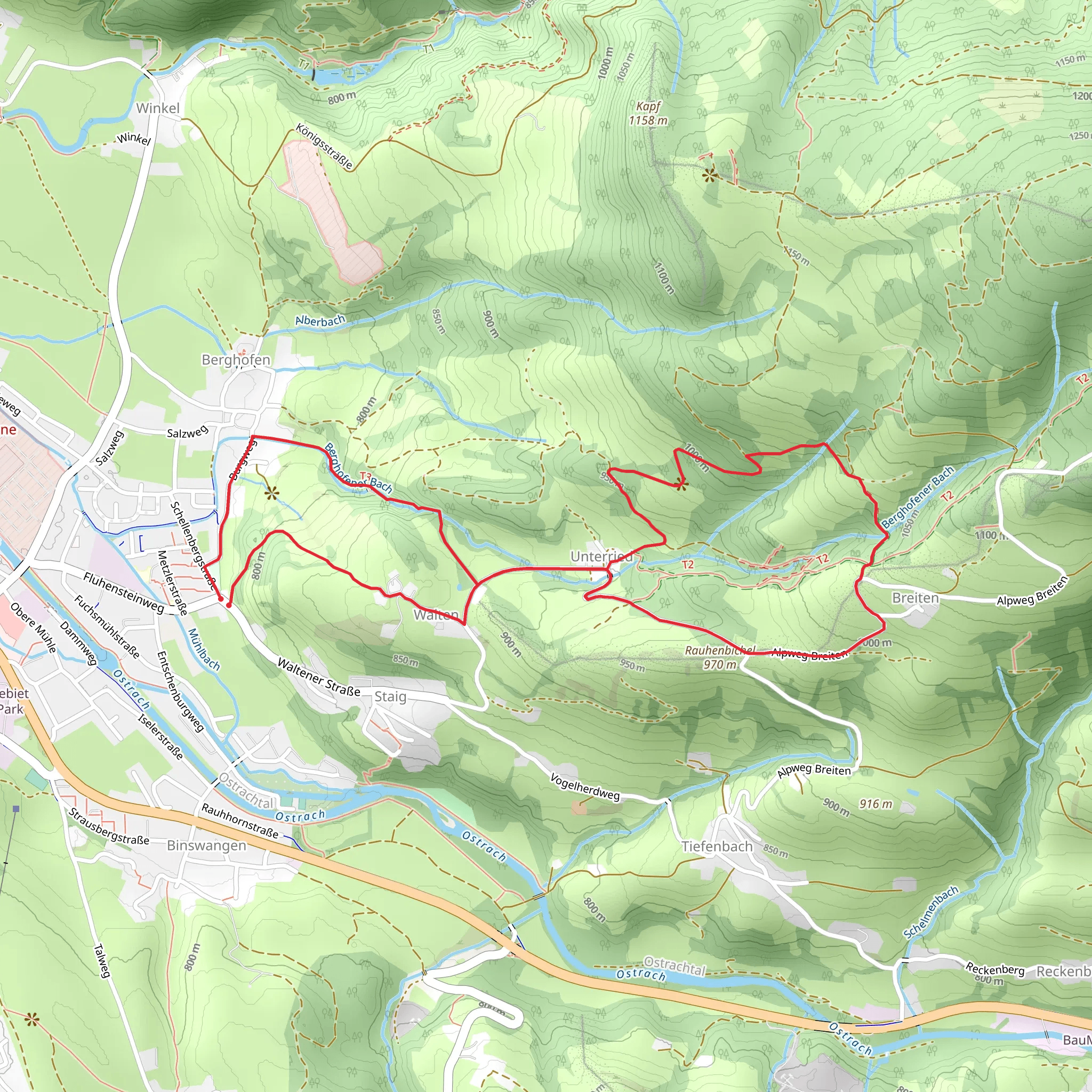
Nestled in the picturesque region of Oberallgäu, Germany, the Maximilians Weg and Burgstalltobel Weg is a challenging yet rewarding loop trail that spans approximately 7 kilometers (about 4.3 miles) with an elevation gain of around 300 meters (approximately 984 feet). This trail offers a blend of natural beauty, historical intrigue, and a rigorous hiking experience.
Getting There
To reach the trailhead, travelers can opt for public transport or drive. If you're using public transport, the nearest major town is Oberstdorf, which is well-connected by train. From Oberstdorf, you can take a local bus to the village of Fischen im Allgäu, which is close to the trailhead. For those driving, the trailhead is accessible via the A7 motorway, exiting at Kempten and following the signs towards Oberstdorf. Parking is available near the start of the trail.
Trail Highlights
Natural Beauty and Wildlife
The trail meanders through lush forests and open meadows, offering hikers a chance to immerse themselves in the serene beauty of the Allgäu Alps. As you ascend, the landscape transitions from dense woodland to panoramic vistas of the surrounding peaks. Keep an eye out for local wildlife, including deer and a variety of bird species that inhabit the area. The trail is particularly stunning in spring and early summer when wildflowers are in full bloom.
Historical Significance
The region is steeped in history, with the trail itself named after King Maximilian II of Bavaria, who was known for his love of the Bavarian Alps. As you hike, you'll encounter remnants of historical structures and paths that date back to the time when these routes were used for trade and travel. The Burgstalltobel section of the trail is particularly noteworthy, as it passes by ancient ruins that hint at the area's medieval past.
Trail Navigation and Safety
Given its difficulty rating, this trail is best suited for experienced hikers. The path can be steep and rocky in sections, requiring sturdy footwear and a good level of fitness. It's advisable to use the HiiKER app for navigation, as it provides detailed maps and real-time updates on trail conditions. Weather in the Alps can change rapidly, so be prepared with appropriate clothing and gear.
Points of Interest
Approximately halfway through the loop, you'll reach a viewpoint that offers breathtaking views of the Iller Valley and the distant peaks of the Alps. This is an ideal spot for a rest and to take in the scenery. Further along, the trail passes through the Burgstalltobel gorge, where the sound of cascading water adds to the trail's enchanting atmosphere.
Final Preparations
Before setting out, ensure you have sufficient water, snacks, and a first-aid kit. The trail is remote, with limited access to facilities, so it's important to be self-sufficient. Mobile reception can be patchy, so downloading offline maps via HiiKER is recommended. With its combination of natural beauty, historical intrigue, and challenging terrain, the Maximilians Weg and Burgstalltobel Weg promises an unforgettable hiking experience in the heart of the Bavarian Alps.
Comments and Reviews
User comments, reviews and discussions about the Maximilians Weg and Burgstalltobel Weg, Germany.
4.6
average rating out of 5
5 rating(s)
