Download
3D Flyover
Add to list
More
11.4 km
~2 hrs 46 min
289 m
Loop
“Explore scenic forests and medieval ruins on the 11 km Schlossberg via Blaustrich and Rundweg Osternohe trail.”
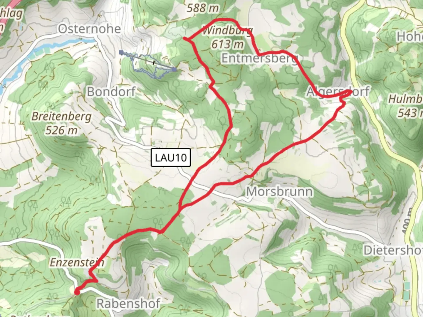
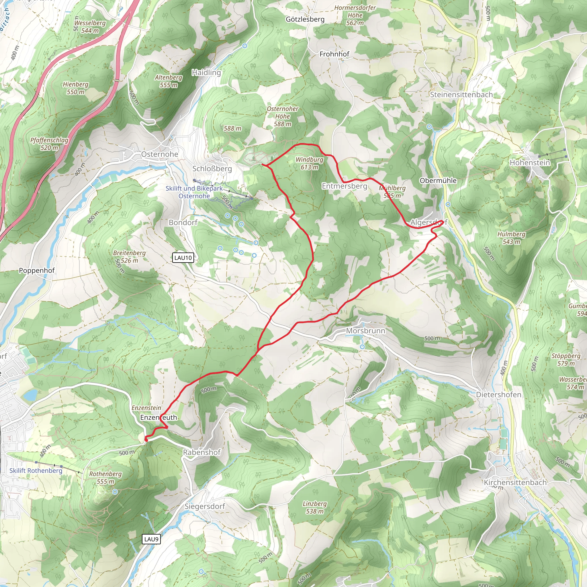
Starting your hike near Nürnberger Land, Germany, the Schlossberg via Blaustrich and Rundweg Osternohe trail offers a delightful 11 km (approximately 6.8 miles) loop with an elevation gain of around 200 meters (656 feet). This medium-difficulty trail is perfect for those looking to explore the scenic beauty and historical richness of the region.
Getting There
To reach the trailhead, you can drive or use public transport. If driving, set your GPS to the vicinity of Osternohe, a small village in the Nürnberger Land district. For public transport, take a train to the nearest major station, Hersbruck, and then a local bus to Osternohe. The trailhead is conveniently located near the village, making it accessible for hikers.
Trail Overview
The trail begins with a gentle ascent through mixed forests, offering a serene start to your hike. As you follow the Blaustrich markers, you'll encounter a variety of flora, including oak, beech, and pine trees. The forest floor is often carpeted with wildflowers in the spring and summer, adding a splash of color to your journey.
Key Landmarks and Points of Interest
- Schlossberg Castle Ruins: Approximately 3 km (1.9 miles) into the hike, you'll reach the ruins of Schlossberg Castle. This medieval fortress offers panoramic views of the surrounding countryside. The castle's history dates back to the 12th century, and it's a great spot to take a break and soak in the historical ambiance.
- Blaustrich Path: Continuing along the Blaustrich path, you'll traverse rolling hills and open meadows. This section is relatively flat, making it a pleasant walk with opportunities to spot local wildlife such as deer and various bird species.
- Rundweg Osternohe: Around the 7 km (4.3 miles) mark, you'll transition to the Rundweg Osternohe loop. This part of the trail takes you through more dense forest areas and past small streams. The sound of flowing water adds a tranquil element to your hike.
Elevation and Terrain
The trail features a total elevation gain of about 200 meters (656 feet), with the most significant ascent occurring in the first half of the hike. The terrain varies from well-maintained forest paths to rocky sections, so sturdy hiking boots are recommended. The trail is well-marked, but it's always a good idea to have a reliable navigation tool like HiiKER to ensure you stay on track.
Wildlife and Nature
The Nürnberger Land region is home to a diverse range of wildlife. Keep an eye out for red foxes, wild boars, and a variety of bird species, including woodpeckers and owls. The area is also rich in plant life, with seasonal changes bringing different blooms and foliage colors.
Historical Significance
The Schlossberg Castle ruins are a highlight of this trail, offering a glimpse into the region's medieval past. The castle was strategically located to oversee and protect the surrounding lands. Exploring the ruins, you can imagine the lives of the knights and nobles who once inhabited this fortress.
Practical Tips
- Water and Snacks: There are no facilities along the trail, so bring enough water and snacks to keep you energized.
- Weather: Check the weather forecast before heading out, as conditions can change rapidly in the forested areas.
- Clothing: Dress in layers to accommodate varying temperatures and bring a rain jacket if the forecast predicts rain.
This trail offers a perfect blend of natural beauty, historical intrigue, and moderate physical challenge, making it a rewarding experience for any hiker.
What to expect?
Activity types
Comments and Reviews
User comments, reviews and discussions about the Schlossberg via Blaustrich and Rundweg Osternohe, Germany.
average rating out of 5
0 rating(s)
