Download
Preview
Add to list
More
13.9 km
~3 hrs 20 min
335 m
Point-to-Point
“Explore lush forests and medieval ruins on the 14-km Burgenweg trail, perfect for moderately experienced hikers.”
Starting near Neustadt an der Waldnaab, Germany, the trail from Oberhoell to Leuchtenberg via Burgenweg spans approximately 14 kilometers (around 8.7 miles) with an elevation gain of about 300 meters (984 feet). This point-to-point trail is rated as medium difficulty, making it suitable for moderately experienced hikers.
Getting There
To reach the trailhead, you can either drive or use public transport. If driving, head towards Neustadt an der Waldnaab and look for parking options near the starting point. For those using public transport, Neustadt an der Waldnaab is well-connected by train and bus services. From the train station, local buses or a short taxi ride can take you to the trailhead.
Trail Overview
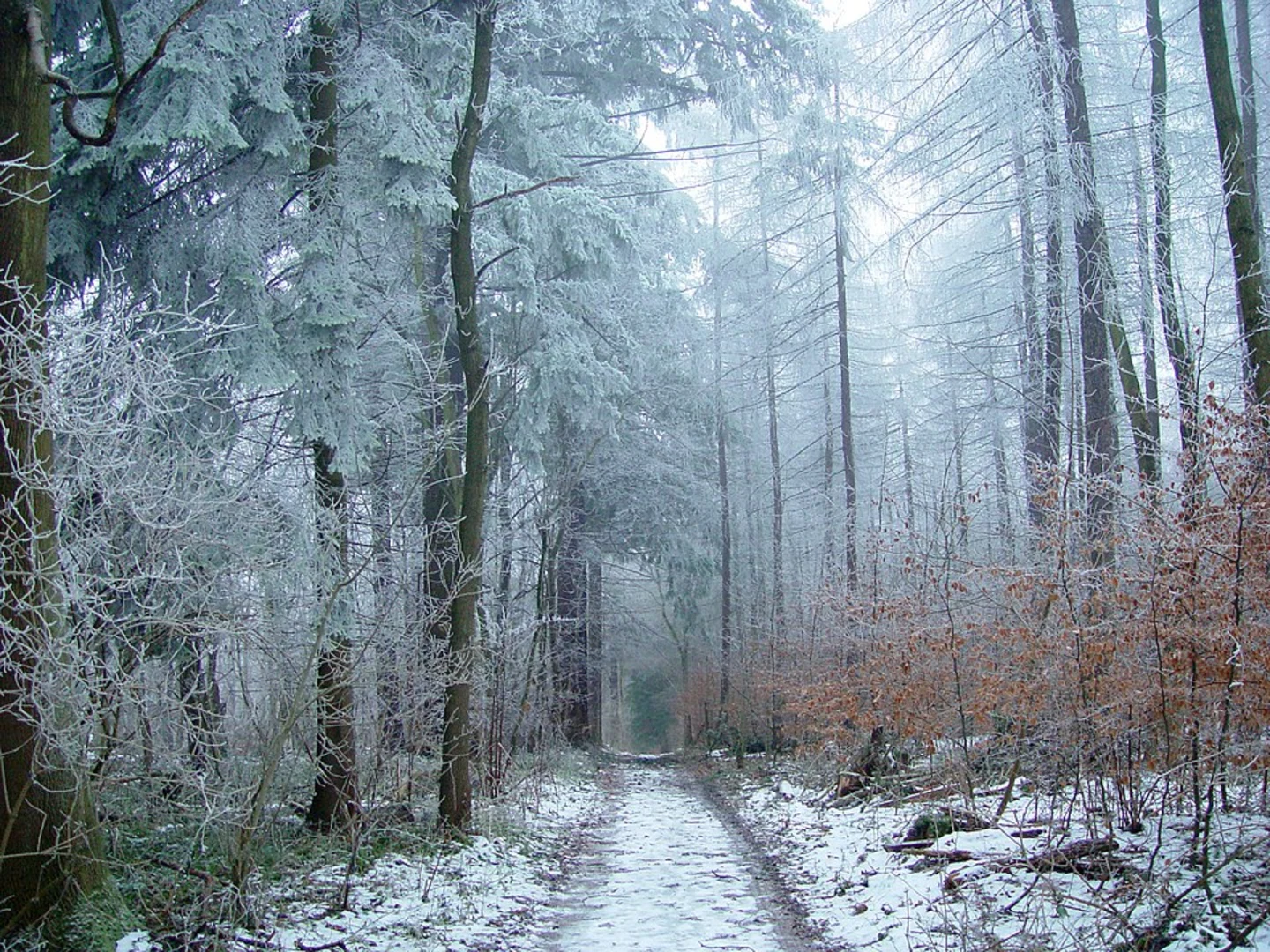
The trail begins in the picturesque area near Neustadt an der Waldnaab, a region known for its lush forests and rolling hills. As you set off, you'll be greeted by a mix of deciduous and coniferous trees, providing ample shade and a serene atmosphere. The initial part of the trail is relatively flat, allowing you to ease into the hike.
Historical Significance
One of the highlights of this trail is its historical significance. The Burgenweg, or "Castle Way," is named for the numerous medieval castles and ruins scattered along the route. These ancient structures offer a glimpse into the region's storied past, dating back to the Middle Ages. Keep an eye out for informational plaques that provide context and history about these landmarks.
Key Landmarks and Points of Interest
- Oberhoell Castle Ruins: Approximately 3 kilometers (1.9 miles) into the hike, you'll encounter the ruins of Oberhoell Castle. This site offers a fantastic opportunity to explore and take in panoramic views of the surrounding countryside.
- Leuchtenberg Castle: As you approach the end of the trail, around the 12-kilometer (7.5-mile) mark, you'll come across Leuchtenberg Castle. This well-preserved fortress is perched on a hill and provides stunning vistas. It's a perfect spot for a rest and some photography.
Flora and Fauna
The trail is rich in biodiversity. Depending on the season, you might spot various species of birds, deer, and even wild boar. The flora is equally diverse, with wildflowers blooming in the spring and summer, adding vibrant colors to the landscape.
Navigation and Safety
Given the moderate difficulty of the trail, it's advisable to use a reliable navigation tool like HiiKER to stay on track. The trail is well-marked, but having a digital map can be incredibly helpful, especially in areas where the path might be less distinct.
Final Stretch
The final stretch towards Leuchtenberg involves a gradual ascent, contributing to the total elevation gain of 300 meters (984 feet). This part of the trail can be a bit challenging, but the effort is well worth it for the views and the sense of accomplishment upon reaching Leuchtenberg Castle.
Practical Tips
- Footwear: Sturdy hiking boots are recommended due to uneven terrain and potential muddy patches.
- Water and Snacks: Carry enough water and some high-energy snacks, as there are limited facilities along the trail.
- Weather: Check the weather forecast before heading out. The trail can be slippery after rain, and certain sections might be more challenging in wet conditions.
This trail offers a perfect blend of natural beauty, historical intrigue, and moderate physical challenge, making it a rewarding experience for those who undertake it.

What to expect?
Activity types
Comments and Reviews
User comments, reviews and discussions about the Oberhoell to Leuchtenberg via Burgenweg, Germany.
4.14
average rating out of 5
7 rating(s)