Download
3D Flyover
Add to list
More
12.1 km
~3 hrs 5 min
402 m
Loop
“Explore lush landscapes and ancient history on a rewarding hike through Germany's Eifel region.”
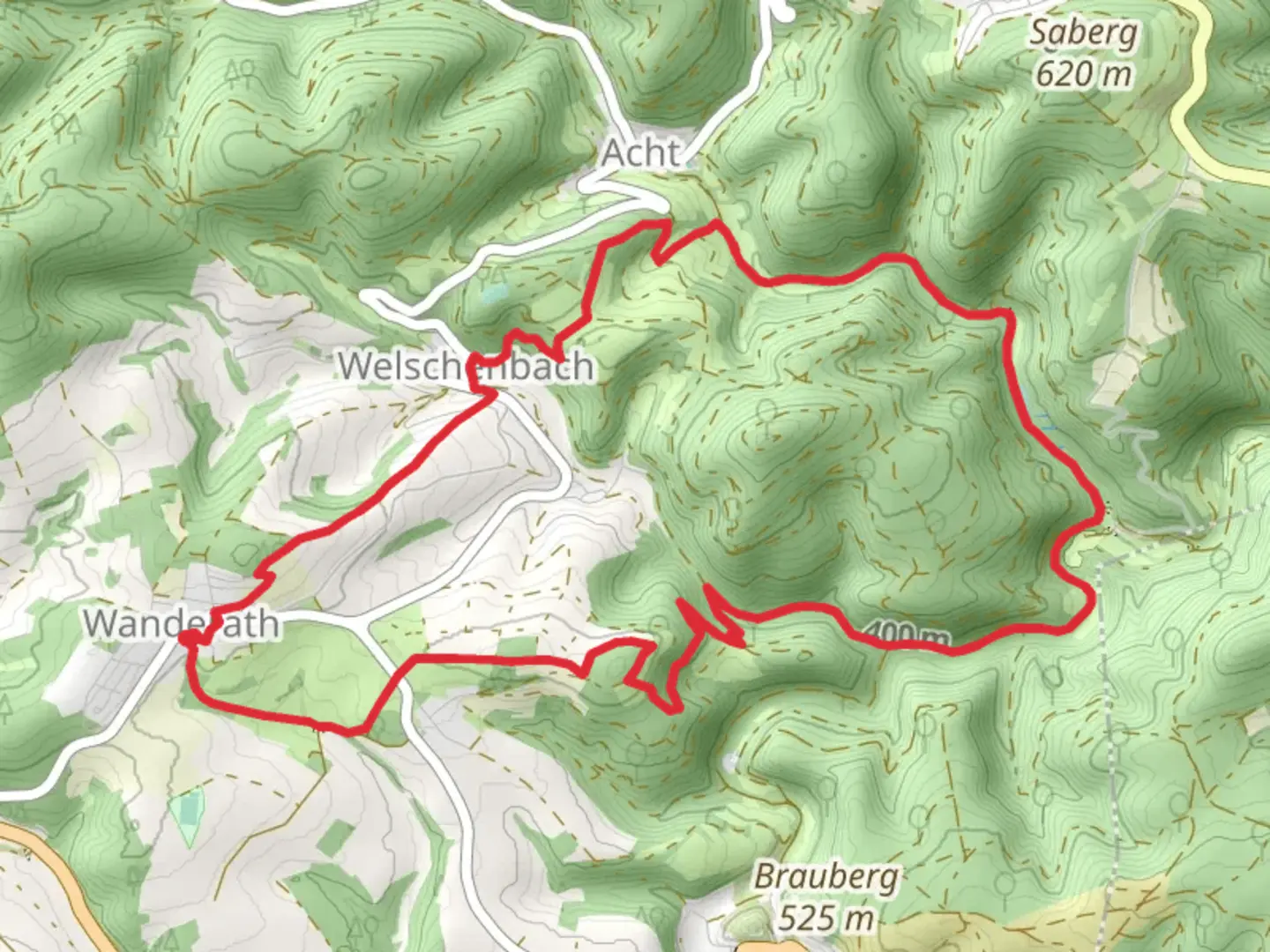
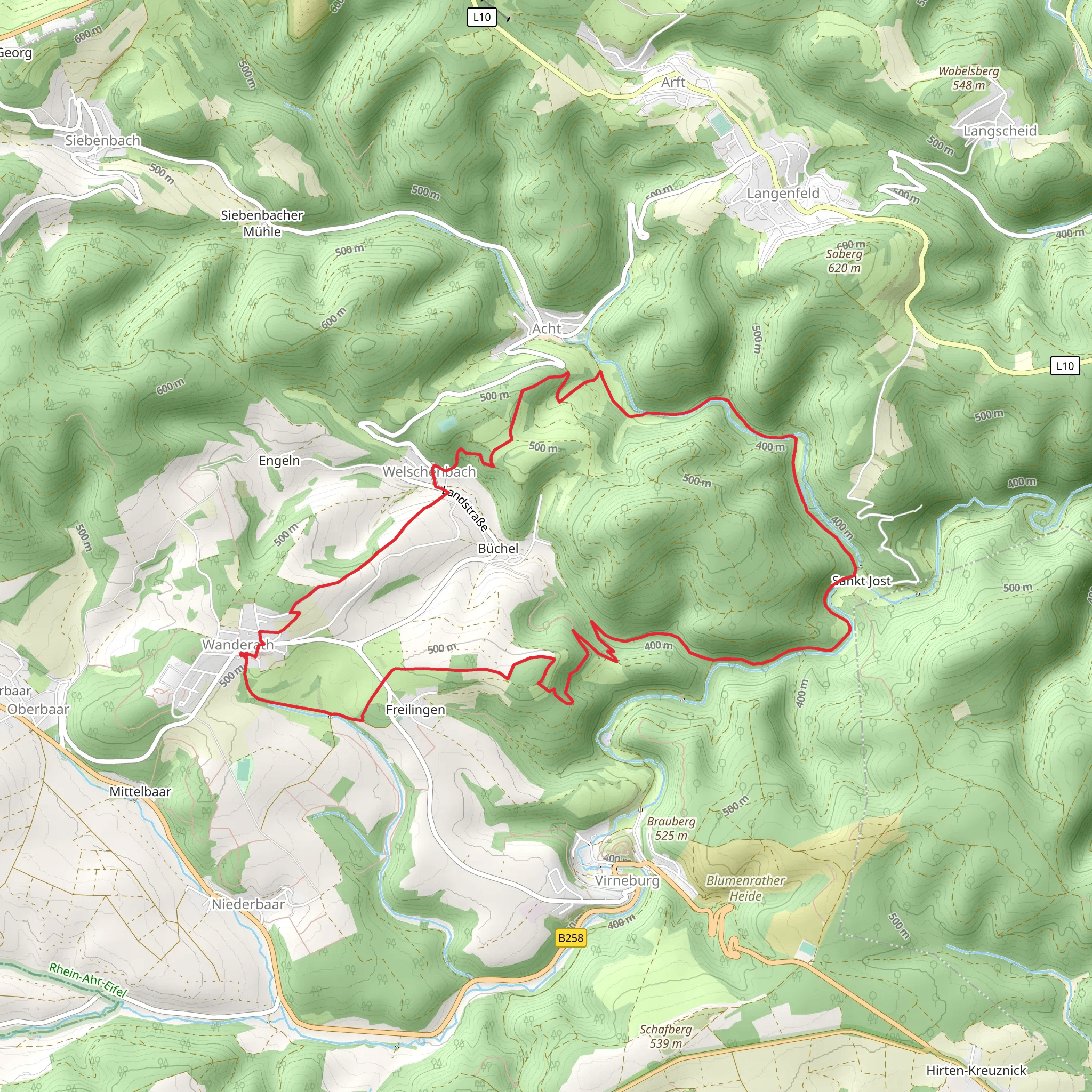
Nestled in the picturesque region of Mayen-Koblenz, Germany, the Achterbach via Wanderather trail offers a delightful loop hike of approximately 12 kilometers (7.5 miles) with an elevation gain of around 400 meters (1,312 feet). This medium-difficulty trail is perfect for those looking to immerse themselves in the natural beauty and historical richness of the area.
Getting There
The trailhead is conveniently located near the town of Mayen-Koblenz. For those traveling by car, you can easily reach the starting point by following the A61 motorway and taking the exit towards Mayen. From there, local roads will guide you to the trailhead. If you prefer public transport, the nearest major train station is in Koblenz. From Koblenz, you can take a regional train to Mayen and then a local bus or taxi to the trailhead.
Trail Highlights
Scenic Landscapes
As you embark on this loop trail, you'll be greeted by a diverse landscape that includes lush forests, open meadows, and serene streams. The trail meanders through the Eifel region, known for its volcanic origins, which have shaped the rolling hills and fertile valleys you will traverse. Keep an eye out for the vibrant wildflowers that dot the meadows, especially in the spring and summer months.
Historical Significance
The region around Mayen-Koblenz is steeped in history, with evidence of human settlement dating back to Roman times. As you hike, you'll pass by remnants of ancient Roman roads and possibly even some old stone structures that hint at the area's storied past. The trail itself may have been used by travelers and traders centuries ago, adding a layer of historical intrigue to your journey.
Wildlife and Nature
The Eifel region is home to a variety of wildlife, and hikers may spot deer, foxes, and a wide array of bird species. The dense forests provide a habitat for these animals, and the trail offers several opportunities for wildlife observation. Be sure to bring binoculars if you're a bird enthusiast, as the area is known for its diverse avian population.
Navigation and Safety
The Achterbach via Wanderather trail is well-marked, but it's always wise to have a reliable navigation tool. The HiiKER app is an excellent choice for this trail, providing detailed maps and real-time GPS tracking to ensure you stay on course. The trail is generally well-maintained, but be prepared for some uneven terrain and occasional steep sections, particularly as you approach the higher elevations.
Points of Interest
Approximately halfway through the hike, you'll come across a charming viewpoint that offers panoramic vistas of the surrounding countryside. This is an ideal spot to take a break, enjoy a packed lunch, and soak in the beauty of the Eifel region. Additionally, the trail passes by several small streams, where you can pause to enjoy the soothing sounds of flowing water.
Final Preparations
Before setting out, ensure you have adequate water, snacks, and appropriate footwear for the hike. Weather in the Eifel can be unpredictable, so it's advisable to check the forecast and dress in layers. With its blend of natural beauty, historical intrigue, and moderate challenge, the Achterbach via Wanderather trail promises a rewarding experience for hikers of all levels.
What to expect?
Activity types
Comments and Reviews
User comments, reviews and discussions about the Achterbach via Wanderather, Germany.
average rating out of 5
0 rating(s)
