Download
3D Flyover
Add to list
More
9.1 km
~2 hrs 15 min
258 m
Loop
“Explore the scenic Deilinghofen Rundweg and Hemer trail, rich in nature, history, and panoramic views.”
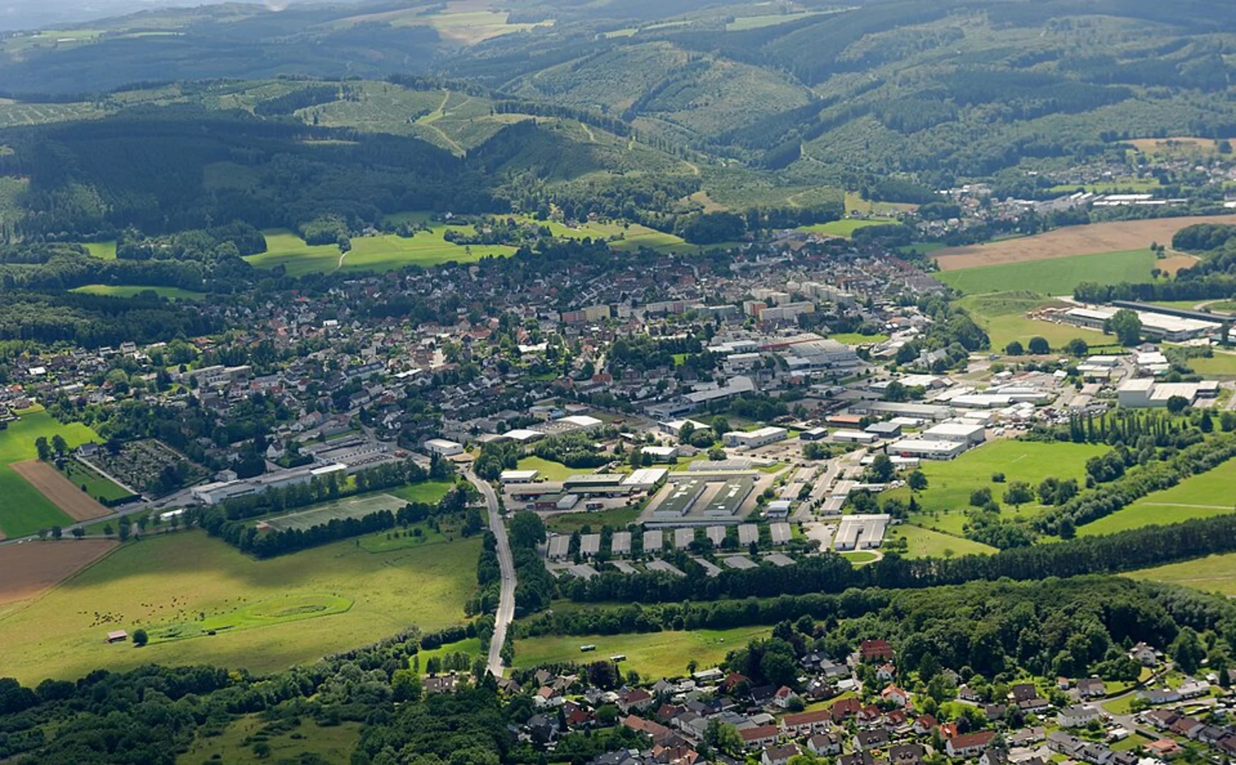
Starting near Märkischer Kreis in Germany, the Deilinghofen Rundweg and Hemer trail is a delightful 9 km (5.6 miles) loop with an elevation gain of approximately 200 meters (656 feet). This medium-difficulty trail offers a blend of natural beauty, historical landmarks, and a touch of local culture, making it a rewarding experience for hikers.
Getting There
To reach the trailhead, you can either drive or use public transport. If driving, set your GPS to Märkischer Kreis, Germany, and look for parking near the trailhead. For those using public transport, take a train or bus to Hemer, which is well-connected to major cities like Dortmund and Hagen. From Hemer, local buses or a short taxi ride will get you to the starting point.
Trail Navigation
For navigation, the HiiKER app is highly recommended. It provides detailed maps and real-time updates, ensuring you stay on track throughout your hike.
Trail Highlights
Nature and Wildlife
The trail meanders through a variety of landscapes, including dense forests, open meadows, and serene streams. Keep an eye out for local wildlife such as deer, foxes, and a variety of bird species. The flora is equally diverse, with oak, beech, and pine trees dominating the forested sections.
Historical Significance
One of the key highlights is the historical significance of the region. The trail passes near the Felsenmeer Hemer, a natural rock formation that has been a site of geological interest for centuries. This area was also significant during World War II, with remnants of old bunkers and fortifications visible along the route.
Landmarks
Around the 4 km (2.5 miles) mark, you'll encounter the Heinrichshöhle, a fascinating cave that offers guided tours. This cave is known for its impressive stalactites and stalagmites, as well as prehistoric fossils. Another notable landmark is the Hemer Felsenmeer, a unique karst landscape that provides stunning views and photo opportunities.
Trail Conditions and Safety
The trail is well-marked but can be muddy and slippery in sections, especially after rain. Good hiking boots are essential. There are a few steep sections, particularly as you approach the higher elevations, so trekking poles can be helpful. Always carry enough water and snacks, as there are limited facilities along the route.
Points of Interest
- Felsenmeer Hemer: A natural rock formation with historical significance.
- Heinrichshöhle: A cave offering guided tours and showcasing impressive geological features.
- Panoramic Views: Several points along the trail offer breathtaking views of the surrounding countryside.
Final Tips
Check the weather forecast before you go, as conditions can change rapidly. The best times to hike this trail are late spring through early autumn when the weather is more predictable and the landscape is lush and green. Always inform someone of your hiking plans and expected return time for safety.
By following these guidelines and using the HiiKER app for navigation, you'll be well-prepared to enjoy the Deilinghofen Rundweg and Hemer trail to its fullest.

Comments and Reviews
User comments, reviews and discussions about the Deilinghofen Rundweg and Hemer, Germany.
5.0
average rating out of 5
1 rating(s)