Download
3D Flyover
Add to list
More
9.4 km
~2 hrs 16 min
237 m
Loop
“Immerse in diverse landscapes and history on the 9 km Strumpfweg and Rund um Gladenbach trail.”
Starting near Marburg-Biedenkopf, Germany, the Strumpfweg and Rund um Gladenbach trail offers a delightful 9 km (approximately 5.6 miles) loop with an elevation gain of around 200 meters (656 feet). This medium-difficulty trail is perfect for those looking to immerse themselves in the natural beauty and historical richness of the region.
Getting There
To reach the trailhead, you can drive or use public transport. If driving, head towards the town of Gladenbach, which is well-signposted from major roads in the area. For those using public transport, take a train to Marburg and then a bus to Gladenbach. The nearest significant landmark to the trailhead is the Gladenbach town center, making it easy to locate.
Trail Overview
The trail begins near the Gladenbach town center, where you can find ample parking and facilities. As you start your hike, you'll be greeted by a mix of forested paths and open meadows, offering a variety of landscapes to enjoy.
Key Sections and Landmarks
Forested Paths
The initial part of the trail takes you through dense forests, where the canopy provides a cool, shaded environment. Keep an eye out for local wildlife such as deer and various bird species. The forest floor is often carpeted with wildflowers in the spring, adding a splash of color to your hike.
Open Meadows
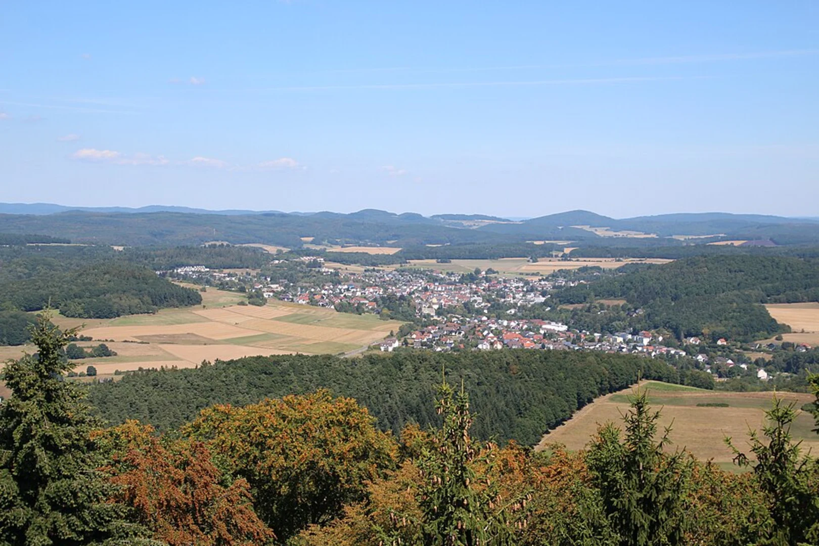
After approximately 3 km (1.9 miles), the trail opens up into expansive meadows. These areas offer panoramic views of the surrounding hills and valleys. This is a great spot to take a break and enjoy a picnic while soaking in the scenery.
Historical Significance
Around the 5 km (3.1 miles) mark, you'll come across remnants of historical significance. The region around Gladenbach has a rich history dating back to medieval times. Look out for old stone walls and ruins that hint at the area's past. These landmarks provide a fascinating glimpse into the lives of those who once inhabited this region.
Elevation and Terrain
The trail features a moderate elevation gain of around 200 meters (656 feet), spread out over the 9 km (5.6 miles). The terrain is varied, with some steep sections that require careful footing, especially after rain when the path can become slippery. Good hiking boots are recommended.
Navigation
For navigation, it's advisable to use the HiiKER app, which provides detailed maps and real-time updates. The trail is well-marked, but having a reliable navigation tool ensures you stay on track and can fully enjoy your hike without any worries.
Flora and Fauna
The trail is rich in biodiversity. In addition to deer and birds, you might spot foxes and various small mammals. The flora is equally diverse, with oak, beech, and pine trees dominating the forested sections, while the meadows are home to a variety of grasses and wildflowers.
Final Stretch
As you near the end of the loop, the trail descends gently back towards Gladenbach. This section offers a mix of forest and open areas, providing a pleasant and varied end to your hike. The final kilometer (0.6 miles) brings you back to the town center, where you can relax and perhaps explore the local cafes and shops.
This trail offers a perfect blend of natural beauty, historical intrigue, and moderate physical challenge, making it a rewarding experience for hikers of all levels.

Comments and Reviews
User comments, reviews and discussions about the Strumpfweg and Rund um Gladenbach, Germany.
4.5
average rating out of 5
4 rating(s)