Download
Preview
Add to list
More
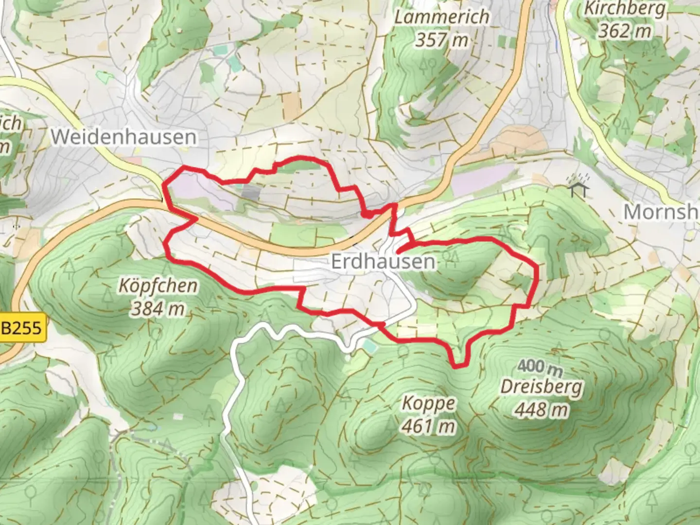
8.1 km
~2 hrs 3 min
267 m
Loop
“The Karl-Lenz Weg offers rich history, panoramic views, and diverse wildlife in an 8 km rewarding loop.”
Starting near the picturesque town of Marburg-Biedenkopf in Germany, the Karl-Lenz Weg is an 8 km (approximately 5 miles) loop trail with an elevation gain of around 200 meters (656 feet). This medium-difficulty trail offers a delightful mix of natural beauty, historical landmarks, and opportunities for wildlife spotting.
Getting There
To reach the trailhead, you can either drive or use public transport. If driving, head towards Marburg-Biedenkopf and look for parking options near the town center. For those using public transport, take a train to Marburg (Lahn) station. From there, local buses can take you closer to the trailhead. The nearest significant landmark to the trailhead is the Marburg Castle, a historical site worth visiting before or after your hike.
Trail Overview
The trail begins with a gentle ascent through dense forest, offering a serene start to your hike. As you progress, you'll encounter a mix of deciduous and coniferous trees, providing ample shade and a cool environment, especially during the summer months. The first kilometer (0.6 miles) is relatively easy, with a gradual elevation gain of about 50 meters (164 feet).
Historical Significance
Around the 2 km (1.2 miles) mark, you'll come across the ruins of an old watchtower, a remnant from the medieval period. This area was historically significant as a lookout point to protect the town of Marburg. Take a moment to explore the ruins and imagine the historical events that unfolded here.
Mid-Trail Highlights
Continuing on, the trail becomes slightly steeper, gaining another 100 meters (328 feet) in elevation over the next 3 km (1.9 miles). This section offers stunning views of the surrounding countryside, including the Lahn River valley. Keep an eye out for local wildlife such as deer, foxes, and a variety of bird species. The trail is well-marked, but it's always a good idea to have a navigation tool like HiiKER to ensure you stay on track.
Scenic Overlook
At approximately 5 km (3.1 miles), you'll reach a scenic overlook that provides panoramic views of Marburg-Biedenkopf and the surrounding hills. This is an excellent spot for a rest and some photos. The elevation gain here totals around 150 meters (492 feet), making it the highest point of the trail.
Descent and Return
The final 3 km (1.9 miles) of the trail involve a gradual descent back towards the trailhead. This section is less strenuous and allows you to enjoy the lush greenery and occasional clearings that offer glimpses of the town below. The descent covers the remaining 50 meters (164 feet) of elevation loss, making it a comfortable end to your hike.
Practical Tips
- Wear sturdy hiking boots as the trail can be uneven in places.
- Bring plenty of water, especially during warmer months.
- A light snack or picnic can be enjoyed at the scenic overlook.
- Check the weather forecast before heading out, as the trail can become slippery after rain.
The Karl-Lenz Weg offers a balanced mix of natural beauty, historical intrigue, and moderate physical challenge, making it a rewarding experience for hikers of all levels.

Comments and Reviews
User comments, reviews and discussions about the Karl-Lenz Weg, Germany.
5.0
average rating out of 5
1 rating(s)