Download
3D Flyover
Add to list
More
9.4 km
~2 hrs 11 min
186 m
Loop
“Explore a 9 km loop near Main-Kinzig-Kreis, offering natural beauty, historical landmarks, and moderate hiking challenges.”
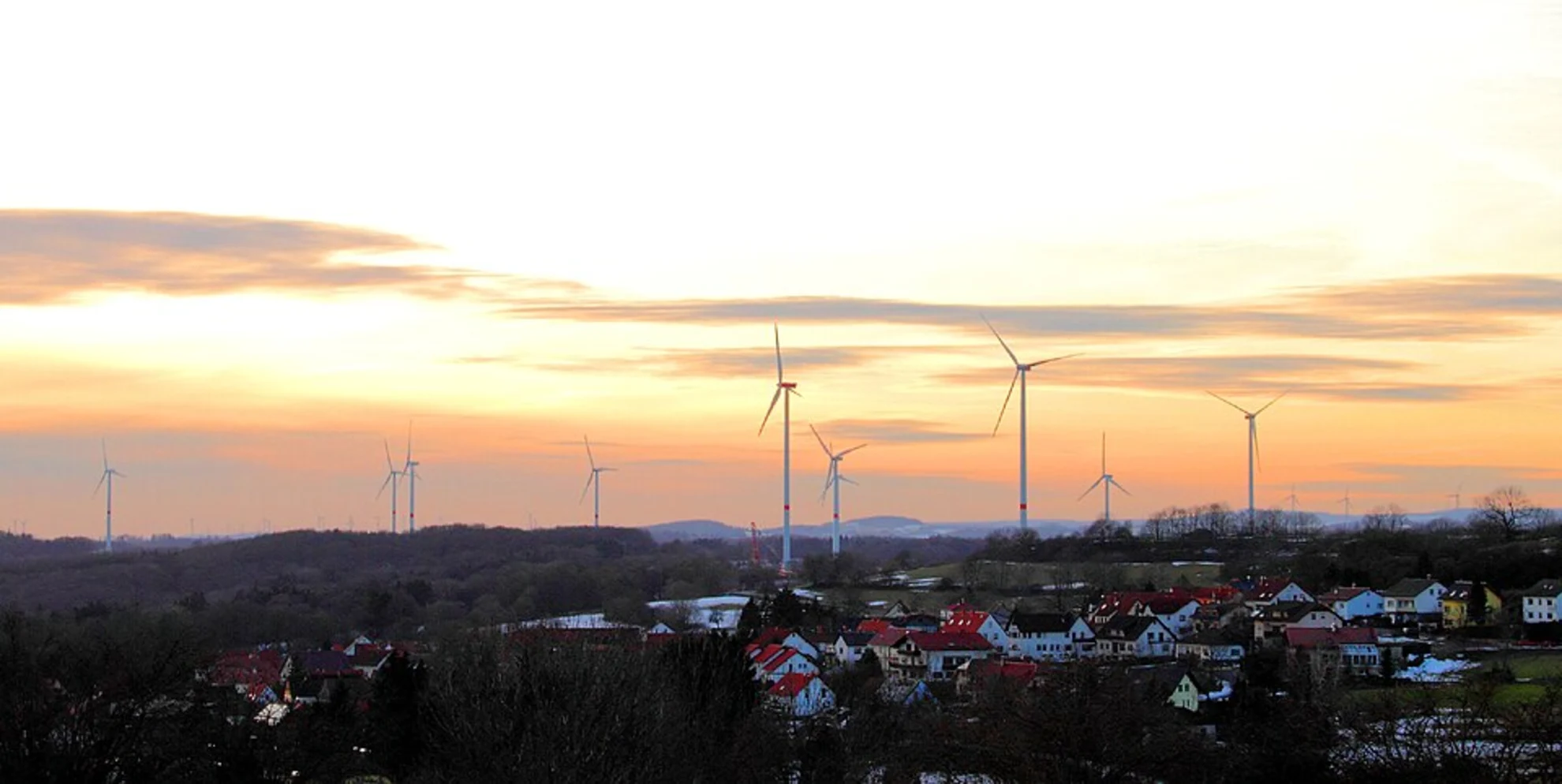
Starting near Main-Kinzig-Kreis, Germany, this 9 km (approximately 5.6 miles) loop trail offers a delightful mix of natural beauty and historical intrigue. With an elevation gain of around 100 meters (328 feet), it is rated as a medium difficulty hike, making it suitable for moderately experienced hikers.
Getting There
To reach the trailhead, you can either drive or use public transport. If driving, set your GPS to the nearest known address: Bahnhofstraße 1, 63571 Gelnhausen, Germany. From here, it's a short drive to the trailhead. For those using public transport, take a train to Gelnhausen Station. From the station, you can either take a local bus or a taxi to the trailhead.
Trail Overview
The trail begins with a gentle ascent through a mixed forest, where you'll encounter a variety of flora including oak, beech, and pine trees. The first kilometer (0.6 miles) is relatively easy, allowing you to acclimate to the surroundings. As you continue, the trail becomes steeper, gaining about 50 meters (164 feet) in elevation over the next 2 kilometers (1.2 miles).
Points of Interest
Elm
Around the 3 km (1.9 miles) mark, you'll reach the Elm area, a small village known for its traditional German architecture. Here, you can take a short detour to visit the local church, which dates back to the 12th century. The village offers a picturesque setting with half-timbered houses and cobblestone streets.
Weinberg
Continuing on, the trail leads you to Weinberg, a region famous for its vineyards. This section of the trail is relatively flat, making it a good spot to take a break and enjoy the scenic views. If you're hiking during the grape harvest season, you might even catch a glimpse of local vintners at work.
Schluchtern
The final significant landmark on this loop is Schluchtern, a small hamlet nestled in a valley. This area is rich in wildlife, including deer, foxes, and various bird species. The trail here is well-marked, but it's always a good idea to have a reliable navigation tool like HiiKER to ensure you stay on track.
Wildlife and Nature
The trail is home to a diverse range of wildlife. Keep an eye out for red squirrels, woodpeckers, and even the occasional wild boar. The flora is equally diverse, with wildflowers blooming in the spring and summer months. The forested sections provide ample shade, making it a pleasant hike even during warmer weather.
Historical Significance
The region around Main-Kinzig-Kreis has a rich history dating back to the Roman era. The trail itself passes near several ancient Roman roads, and you might even spot some old milestones along the way. The villages of Elm and Schluchtern have preserved much of their medieval charm, offering a glimpse into Germany's storied past.
Final Stretch
The last 2 kilometers (1.2 miles) of the trail are a gentle descent back to the starting point. This section offers panoramic views of the surrounding countryside, making it a perfect way to end your hike.
Preparation Tips
Given the moderate difficulty of the trail, it's advisable to wear sturdy hiking boots and bring plenty of water. The trail is well-marked, but having HiiKER on your smartphone can provide additional peace of mind. Weather can be unpredictable, so pack a light rain jacket just in case.
This loop trail offers a well-rounded hiking experience, combining natural beauty, historical landmarks, and a touch of local culture. Whether you're a seasoned hiker or someone looking to explore the German countryside, this trail has something for everyone.

What to expect?
Activity types
Comments and Reviews
User comments, reviews and discussions about the Elm, Weinberg and Schluchtern Loop, Germany.
4.5
average rating out of 5
4 rating(s)