Download
3D Flyover
Add to list
More
8.3 km
~1 hrs 54 min
140 m
Loop
“Experience Franconian culture and history on this scenic trail featuring stunning landscapes and iconic landmarks.”
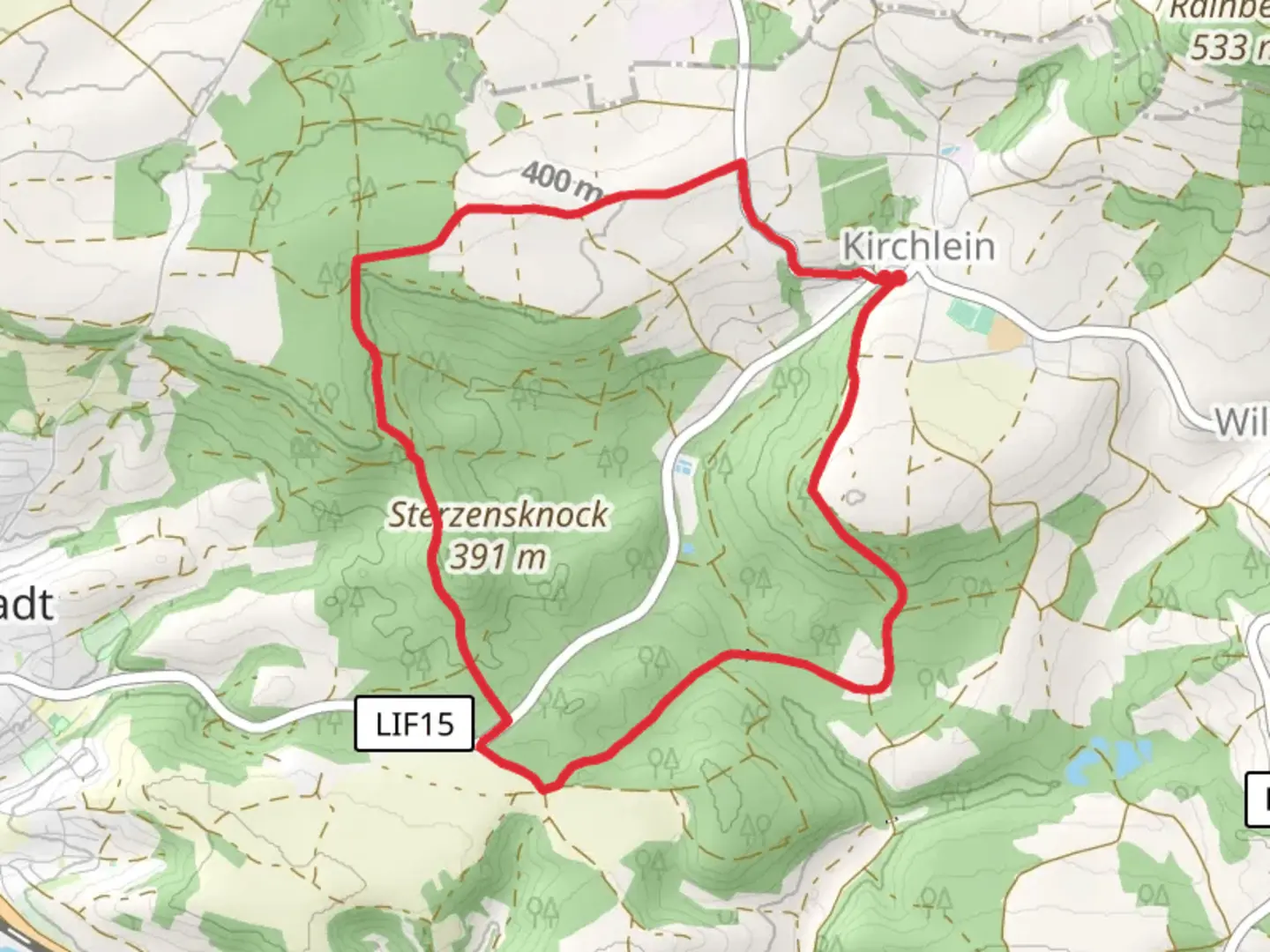
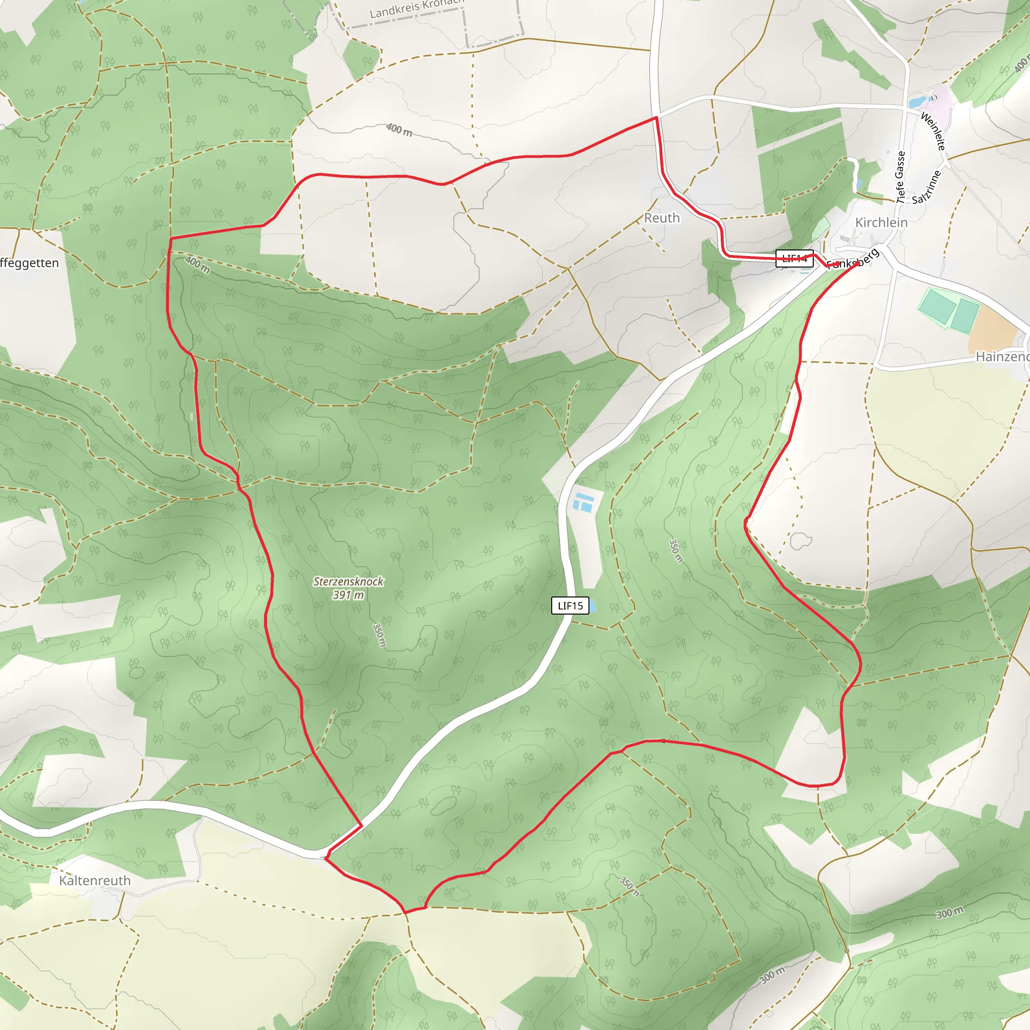
Nestled in the picturesque region of Upper Franconia, the Obermain and Gottesgarten Rundweg Nord offers a delightful 8 km (approximately 5 miles) loop trail that begins near the charming town of Lichtenfels, Germany. With an elevation gain of around 100 meters (328 feet), this medium-difficulty trail provides a perfect blend of natural beauty, cultural landmarks, and historical intrigue.
Getting There
To reach the trailhead, travelers can opt for public transport or drive. Lichtenfels is well-connected by train, with regular services from major cities like Bamberg and Coburg. From the Lichtenfels train station, local buses or a short taxi ride can take you to the trail's starting point. If driving, Lichtenfels is accessible via the A73 motorway, with ample parking available near the trailhead.
Trail Highlights
Nature and Scenery
As you embark on this loop, you'll be greeted by the serene landscapes of the Upper Main Valley. The trail meanders through lush forests and open meadows, offering a diverse array of flora and fauna. Keep an eye out for native bird species and small mammals that inhabit the area. The gentle elevation changes provide panoramic views of the surrounding countryside, particularly stunning during the spring and autumn months when the foliage bursts into vibrant colors.
Historical and Cultural Landmarks
One of the trail's most captivating features is its proximity to the Basilica of the Fourteen Holy Helpers (Basilika Vierzehnheiligen), a significant pilgrimage site. This stunning example of Baroque architecture, designed by Balthasar Neumann, is located just a short detour from the main loop. The basilica's intricate interior and historical significance make it a must-visit for those interested in cultural heritage.
Further along the trail, hikers will encounter the imposing Banz Abbey (Kloster Banz), a former Benedictine monastery now serving as a conference center. The abbey's history dates back to the 11th century, and its well-preserved architecture offers a glimpse into the region's monastic past.
Navigation and Safety
For navigation, the HiiKER app is an invaluable tool, providing detailed maps and real-time updates to ensure you stay on track. The trail is well-marked, but it's always wise to have a reliable navigation aid at hand.
While the trail is rated medium in difficulty, it's important to wear appropriate footwear, as some sections can be uneven or muddy, especially after rain. Carrying water and snacks is advisable, as there are limited facilities along the route.
Wildlife and Conservation
The trail passes through areas of ecological significance, and hikers are encouraged to respect the natural environment. Stick to marked paths to minimize impact on local wildlife and plant life. The region is home to several protected species, and conservation efforts are in place to preserve this unique habitat.
Embarking on the Obermain and Gottesgarten Rundweg Nord is not just a hike; it's a journey through the heart of Franconian culture and history, set against a backdrop of stunning natural beauty. Whether you're a seasoned hiker or a casual walker, this trail promises an enriching experience.
Comments and Reviews
User comments, reviews and discussions about the Obermain and Gottesgarten Rundweg Nord, Germany.
average rating out of 5
0 rating(s)
