Download
3D Flyover
Add to list
More
9.5 km
~2 hrs 31 min
373 m
Loop
“Explore 9 km of lush valleys, panoramic ridges, and historical landmarks near picturesque Kulmbach, Germany.”
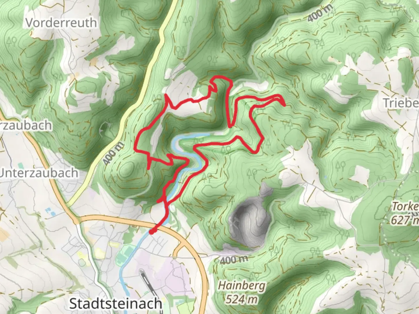
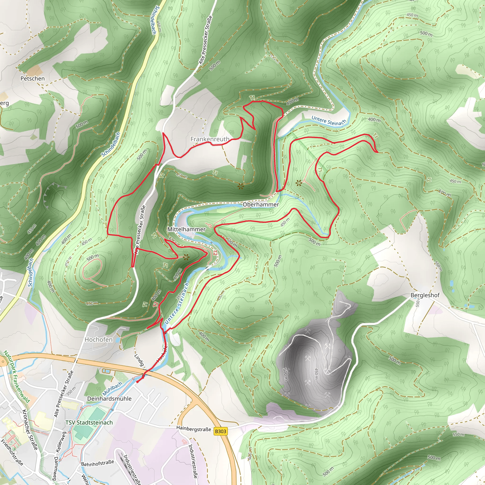
Starting near the picturesque town of Kulmbach, Germany, the Geo Pfad Steinachtal and Gruenbuerg Weg is a captivating loop trail that spans approximately 9 km (5.6 miles) with an elevation gain of around 300 meters (984 feet). This medium-difficulty trail offers a blend of natural beauty, historical landmarks, and diverse wildlife, making it an enriching experience for hikers.
Getting There
To reach the trailhead, you can either drive or use public transportation. If you're driving, set your GPS to Kulmbach, and look for parking near the town center. For those using public transport, Kulmbach is well-connected by train, with regular services from major cities like Nuremberg and Bamberg. From the Kulmbach train station, it's a short walk to the trailhead.
Trail Highlights
Steinachtal Valley
The trail begins by leading you into the serene Steinachtal Valley. This area is known for its lush greenery and tranquil streams. As you hike through the valley, you'll encounter a variety of flora, including oak and beech trees, as well as an array of wildflowers during the spring and summer months. Keep an eye out for local wildlife such as deer, foxes, and a variety of bird species.
Gruenbuerg Ridge
After approximately 4 km (2.5 miles), the trail ascends to the Gruenbuerg Ridge. This section offers panoramic views of the surrounding countryside, including the Franconian Forest and the distant peaks of the Fichtel Mountains. The elevation gain here is about 150 meters (492 feet), so take your time and enjoy the scenery. The ridge is also a great spot for a picnic, with several benches and open areas to rest.
Historical Significance
Kulmbach Castle
One of the most significant landmarks along the trail is the Kulmbach Castle, also known as Plassenburg. Located near the trailhead, this medieval fortress dates back to the 12th century and offers a glimpse into the region's rich history. The castle is home to several museums, including the German Tin Figure Museum, which is worth a visit either before or after your hike.
Geological Features
The trail is part of the Geo Pfad, a geological path that highlights the unique rock formations and mineral deposits of the region. Informational plaques along the route provide insights into the geological history, making it an educational experience as well.
Navigation and Safety
To ensure you stay on track, it's advisable to use the HiiKER app, which provides detailed maps and real-time navigation. The trail is well-marked, but having a reliable navigation tool can enhance your hiking experience.
Final Stretch
The last segment of the trail descends back into the valley, completing the loop. This section is relatively easy, allowing you to cool down and reflect on the diverse landscapes and historical sites you've encountered. The total descent is around 150 meters (492 feet), bringing you back to the starting point near Kulmbach.
This trail offers a well-rounded experience, combining natural beauty, historical landmarks, and educational opportunities. Whether you're a seasoned hiker or a casual walker, the Geo Pfad Steinachtal and Gruenbuerg Weg has something to offer for everyone.
Comments and Reviews
User comments, reviews and discussions about the Geo Pfad Steinachtal and Gruenbuerg Weg, Germany.
4.0
average rating out of 5
1 rating(s)
