Download
3D Flyover
Add to list
More
7.3 km
~1 hrs 36 min
94 m
Loop
“Explore the accessible 7 km Hohe Mark Steig trail, featuring panoramic views from Feuerwachturm Farnberg.”
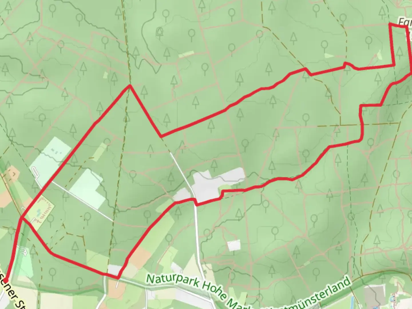
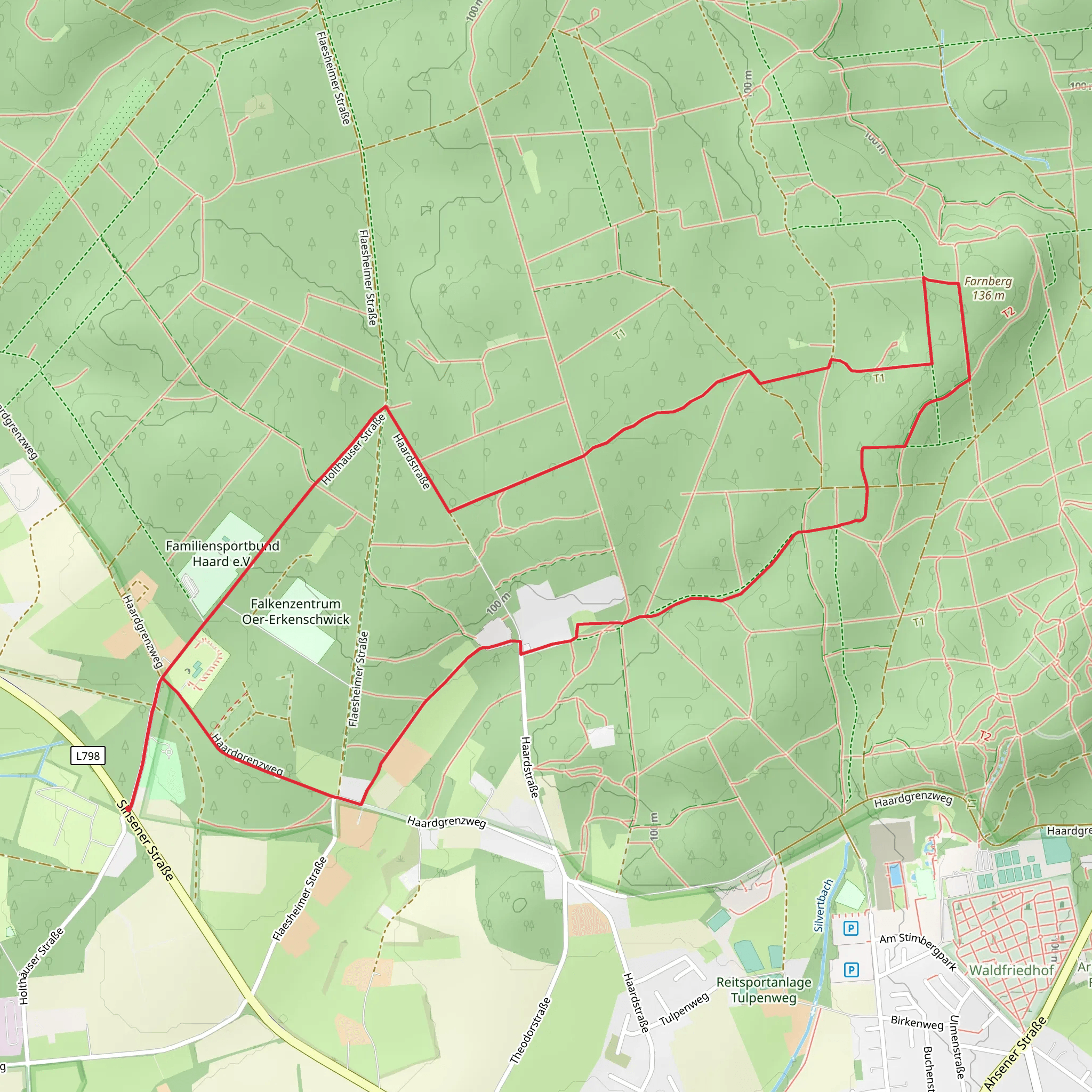
Starting near Kreis Recklinghausen, Germany, the Feuerwachturm Farnberg via Hohe Mark Steig is a captivating 7 km (4.35 miles) loop trail with no significant elevation gain, making it accessible for hikers of varying skill levels. The trailhead is conveniently located and can be reached by car or public transport. If driving, you can park near the Hohe Mark Nature Park, which is well-signposted. For those using public transport, the nearest major town is Recklinghausen, from where you can take a bus to the Hohe Mark Nature Park entrance.
Trail Navigation and Terrain
The trail is well-marked and maintained, making navigation straightforward. However, it's always a good idea to have a reliable navigation tool like HiiKER to ensure you stay on track. The terrain is relatively flat, with a mix of forest paths and open meadows. The lack of significant elevation gain (0 meters) makes it a comfortable hike, suitable for families and casual hikers.
Key Landmarks and Points of Interest
One of the most notable landmarks on this trail is the Feuerwachturm Farnberg, an old fire watchtower that offers panoramic views of the surrounding landscape. Approximately 3 km (1.86 miles) into the hike, you'll reach this historic structure. Climbing the tower provides a unique vantage point to appreciate the natural beauty of the Hohe Mark region.
Flora and Fauna
The trail meanders through diverse ecosystems, including dense forests and open fields. In the spring and summer months, the area is teeming with wildflowers, adding vibrant colors to your hike. Birdwatchers will be delighted by the variety of species that inhabit the region, including woodpeckers, owls, and various songbirds. Keep an eye out for deer and other small mammals that are often seen along the trail.
Historical Significance
The Hohe Mark region has a rich history, with evidence of human settlement dating back to prehistoric times. The fire watchtower itself is a relic from the early 20th century, used to monitor and prevent forest fires. This area was also significant during World War II, serving as a strategic lookout point.
Practical Information
The trail is accessible year-round, but the best times to visit are during the spring and autumn when the weather is mild, and the foliage is at its most beautiful. There are no significant water sources along the trail, so be sure to bring enough water for the entire hike. Additionally, while the trail is generally safe, it's always wise to wear sturdy hiking boots and carry a basic first aid kit.
Public restrooms and picnic areas are available near the trailhead, making it convenient for a day trip. If you plan to extend your visit, the nearby town of Recklinghausen offers various accommodation options, from cozy guesthouses to more luxurious hotels.
This trail offers a perfect blend of natural beauty, historical intrigue, and accessible hiking, making it a must-visit for anyone in the region.
What to expect?
Activity types
Comments and Reviews
User comments, reviews and discussions about the Feuerwachturm Farnberg via Hohe Mark Steig, Germany.
4.4
average rating out of 5
5 rating(s)
