Download
3D Flyover
Add to list
More
7.8 km
~2 hrs 1 min
280 m
Loop
“The Rundweg Oberhundem is a scenic 8 km loop with historic landmarks and abundant wildlife.”
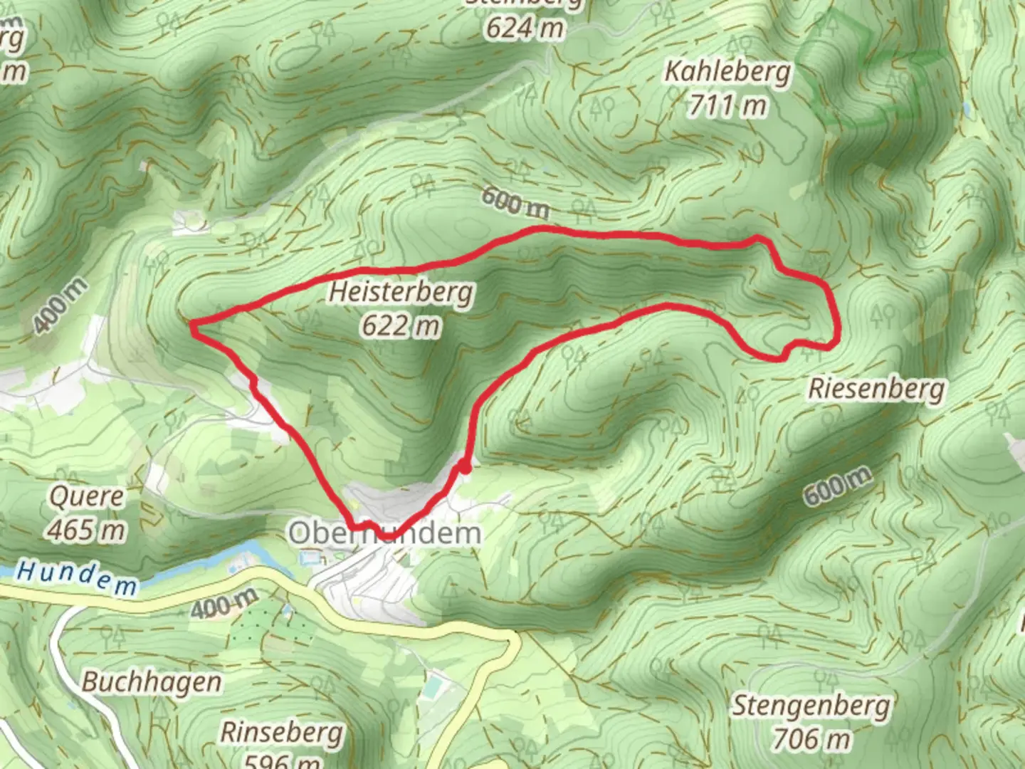
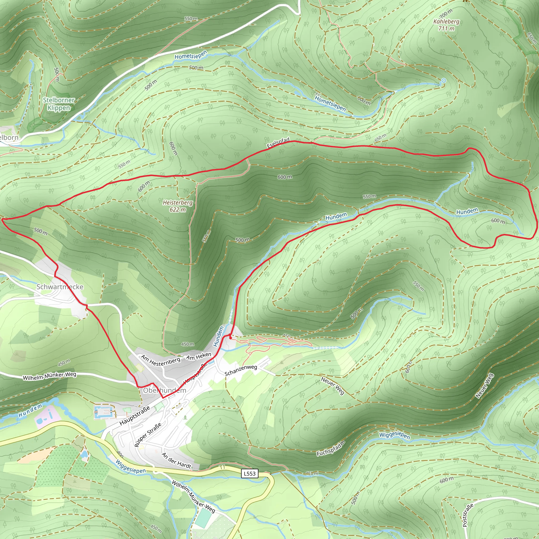
Starting near Kreis Olpe, Germany, the Rundweg Oberhundem is an 8 km (approximately 5 miles) loop trail with an elevation gain of around 200 meters (656 feet). This medium-difficulty trail offers a delightful mix of natural beauty, historical landmarks, and opportunities for wildlife spotting.
Getting There
To reach the trailhead, you can drive or use public transport. If driving, set your GPS to Oberhundem, a small village in the Kreis Olpe district. There is ample parking available near the village center. For those using public transport, take a train to Lennestadt-Altenhundem station. From there, you can catch a local bus to Oberhundem, which is a short ride away.
Trail Overview
The trail begins in the picturesque village of Oberhundem, known for its charming half-timbered houses and serene atmosphere. As you start your hike, you'll be greeted by lush forests and rolling hills, typical of the Sauerland region.
Key Landmarks and Points of Interest
- Oberhundem Village: The trailhead is located near the village center. Take a moment to explore the quaint streets and perhaps visit the local bakery for some fresh pastries before you start your hike.
- Schloss Adolfsburg: About 2 km (1.2 miles) into the hike, you'll come across Schloss Adolfsburg, a historic castle dating back to the 17th century. The castle is a private residence, but its impressive architecture can be admired from the outside.
- Panoramic Views: As you ascend to the higher elevations, around the 4 km (2.5 miles) mark, you'll be rewarded with panoramic views of the surrounding countryside. This is a great spot to take a break and enjoy the scenery.
- Wildlife and Flora: The trail passes through dense forests where you might spot deer, foxes, and a variety of bird species. The flora is equally diverse, with oak, beech, and spruce trees dominating the landscape.
Navigation and Trail Conditions
The trail is well-marked with signs and markers, but it's always a good idea to have a reliable navigation tool. The HiiKER app is highly recommended for this purpose, providing detailed maps and real-time tracking to ensure you stay on course.
Historical Significance
The region around Oberhundem has a rich history, with evidence of human settlement dating back to the Bronze Age. The trail itself passes through areas that were once part of ancient trade routes. Schloss Adolfsburg, mentioned earlier, is a testament to the area's historical importance, having served as a residence for local nobility for centuries.
Practical Tips
- Footwear: Given the mixed terrain, sturdy hiking boots are recommended.
- Weather: The weather in this region can be unpredictable, so pack a waterproof jacket and check the forecast before you set out.
- Supplies: There are no facilities along the trail, so bring enough water and snacks for the entire hike.
- Respect Nature: As always, follow Leave No Trace principles to keep the trail beautiful for future hikers.
This trail offers a perfect blend of natural beauty, historical intrigue, and moderate physical challenge, making it a rewarding experience for hikers of all levels.
Comments and Reviews
User comments, reviews and discussions about the Rundweg Oberhundem, Germany.
4.6
average rating out of 5
5 rating(s)
