Download
3D Flyover
Add to list
More
7.7 km
~1 hrs 52 min
196 m
Loop
“The Langenhorst Rundweg is a scenic, historically-rich 8 km trail perfect for moderately skilled hikers.”
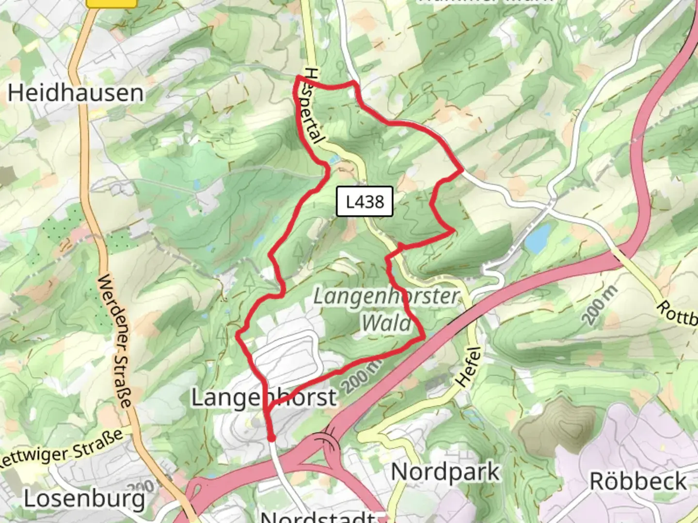
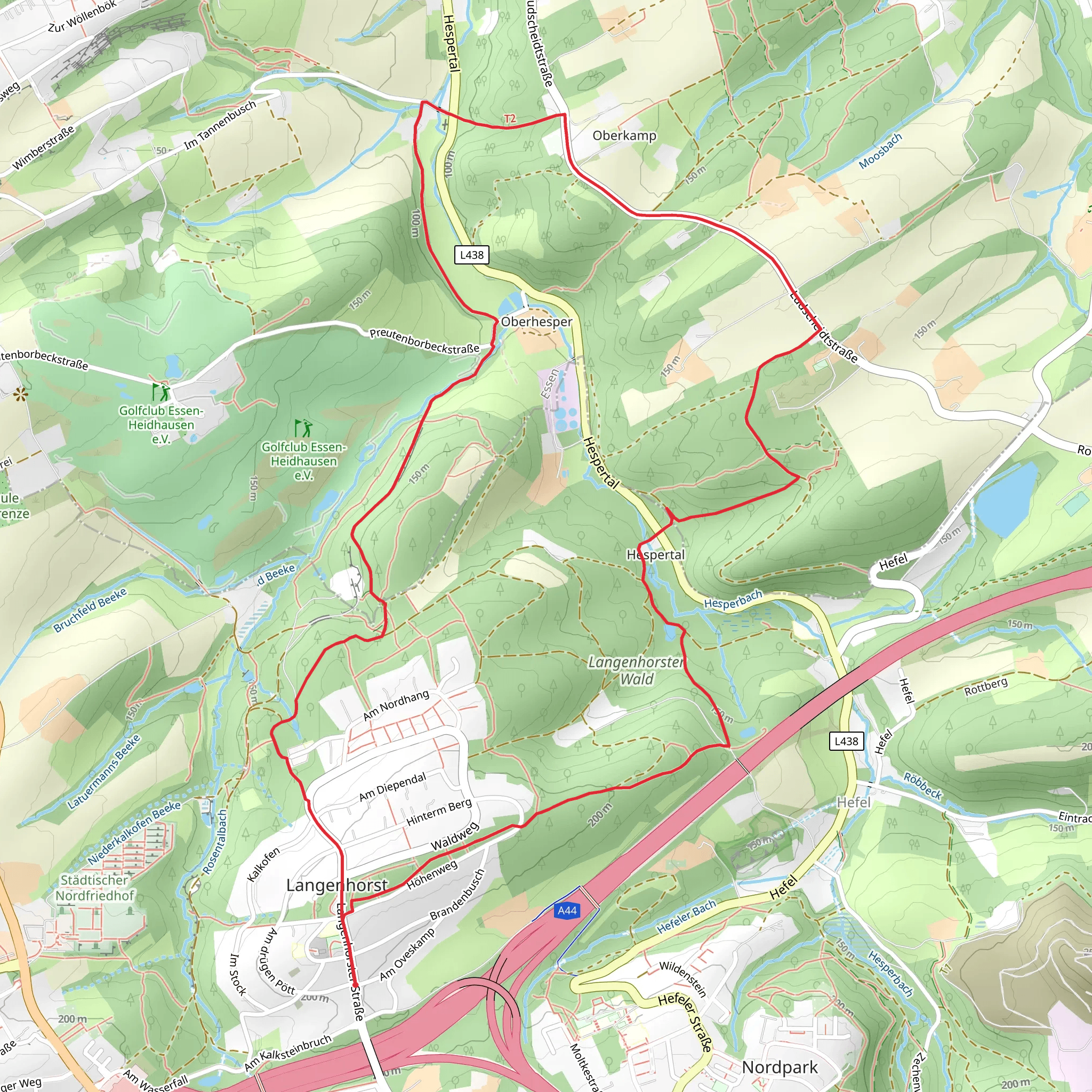
Starting near Kreis Mettmann, Germany, the Langenhorst Rundweg is an 8 km (approximately 5 miles) loop trail with an elevation gain of around 100 meters (328 feet). This medium-difficulty trail offers a delightful mix of natural beauty and historical significance, making it a rewarding experience for hikers of various skill levels.
Getting There
To reach the trailhead, you can drive or use public transport. If driving, set your GPS to Kreis Mettmann, Germany. For those using public transport, take a train to Mettmann Stadtwald station and then a local bus to the nearest stop, which is a short walk from the trailhead.
Trail Overview
The Langenhorst Rundweg begins with a gentle ascent through a lush forest, where you'll be greeted by the sounds of chirping birds and rustling leaves. The initial 2 km (1.2 miles) of the trail are relatively easy, making it a good warm-up for the more challenging sections ahead.
Flora and Fauna
As you progress, you'll notice a diverse range of flora, including oak, beech, and pine trees. The undergrowth is rich with ferns and wildflowers, especially in the spring and summer months. Keep an eye out for local wildlife such as deer, foxes, and a variety of bird species. The forest is particularly vibrant in autumn when the leaves turn brilliant shades of red, orange, and yellow.
Historical Significance
Around the 4 km (2.5 miles) mark, you'll come across remnants of old stone walls and foundations, hinting at the area's historical significance. These ruins are believed to date back to medieval times when the region was dotted with small settlements and farms. Take a moment to appreciate the history that permeates this landscape.
Scenic Views
As you reach the halfway point, the trail opens up to a series of meadows offering panoramic views of the surrounding countryside. This is an excellent spot to take a break, have a snack, and enjoy the scenery. The elevation gain here is about 50 meters (164 feet), providing a moderate challenge without being overly strenuous.
Navigation
The trail is well-marked, but it's always a good idea to have a reliable navigation tool. I recommend using HiiKER for accurate trail maps and real-time updates. This will ensure you stay on the right path and can fully enjoy your hike without any navigational worries.
Final Stretch
The last 2 km (1.2 miles) of the trail take you through a mix of forest and open fields, gradually descending back to the starting point. This section is relatively easy, allowing you to cool down and reflect on the journey. The trail loops back to where you began, completing the 8 km (5 miles) circuit.
Practical Tips
- Wear sturdy hiking boots, as some sections can be muddy, especially after rain.
- Bring enough water and snacks, as there are no facilities along the trail.
- Check the weather forecast before heading out, as conditions can change rapidly.
- If hiking in the summer, consider insect repellent to ward off mosquitoes and ticks.
The Langenhorst Rundweg offers a perfect blend of natural beauty, historical intrigue, and moderate physical challenge, making it a must-visit for any hiking enthusiast.
What to expect?
Activity types
Comments and Reviews
User comments, reviews and discussions about the Langenhorst Rundweg, Germany.
4.67
average rating out of 5
3 rating(s)
